Severe thunderstorms may produce tornadoes, some strong, damaging wind gusts above 70 mph, and very large hail exceeding 2 inches in diameter, and intense rainfall that may cause flash flooding tonight across much of the southern Plains and lower Missouri Valley. The severe thunderstorms and excessive rainfall will expand from east Texas into the Mississippi Valley on Sunday. Read More >
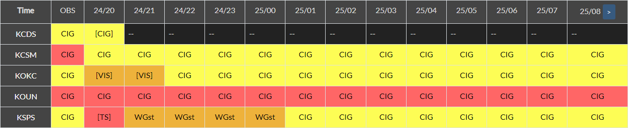
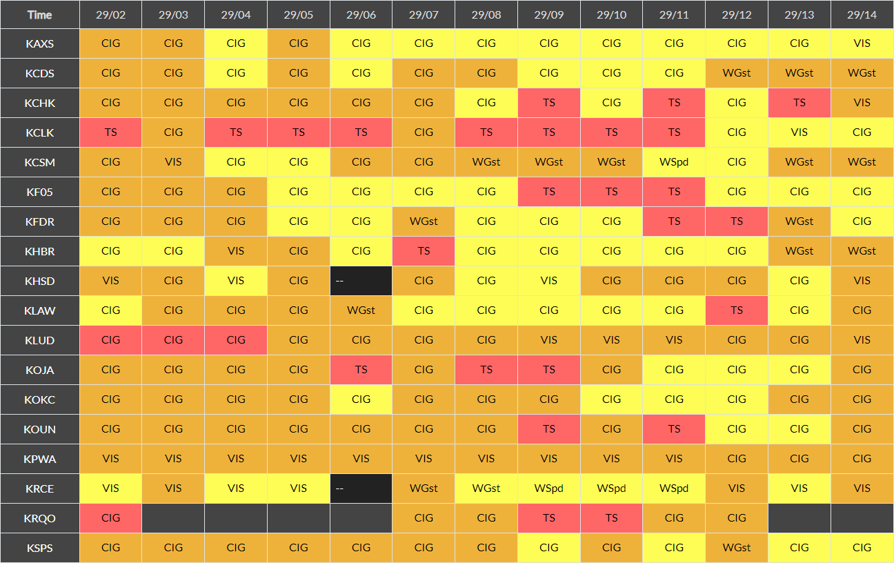
Click on an image to enlarge the hourly weather graphic, or see the 7-day forecast or expanded hourly forecast by visiting the links below the images.
Dallas/Fort Worth |
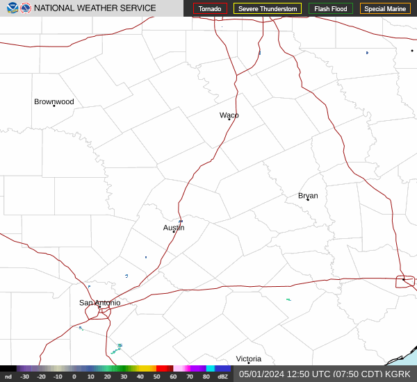
Waco, TX |
|
|
|
Click on any image to enlarge it.
CONUS Sector |
Southern Plains Sector |
 |
 |
Fort Worth, TX Radar (KFWS) |
Granger/Fort Cavazos, TX Radar (KGRK) |
 |
 |
Geocolor Satellite Imagery with Lightning Density |
Infrared Satellite Imagery |
 |
 |
Click an image to enlarge it.
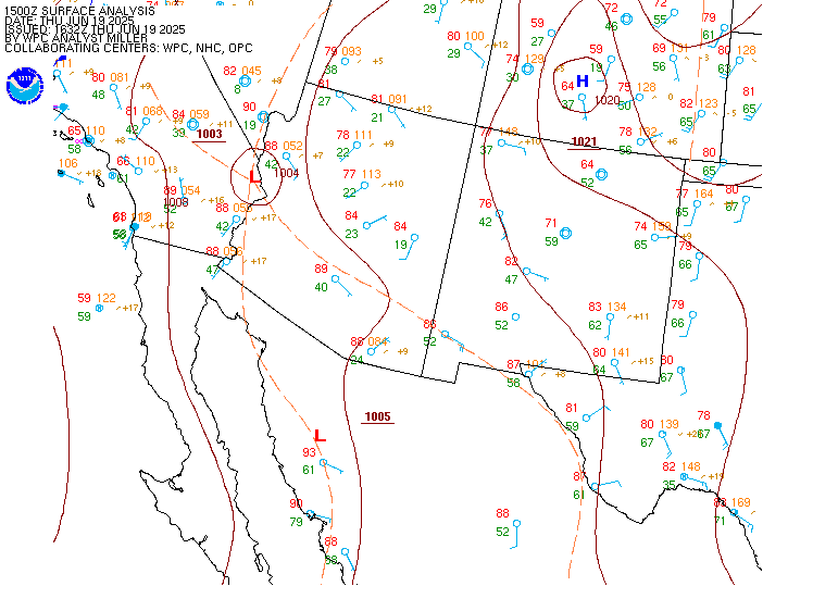
Southwest CONUS |
South-Central CONUS |
 |
 |
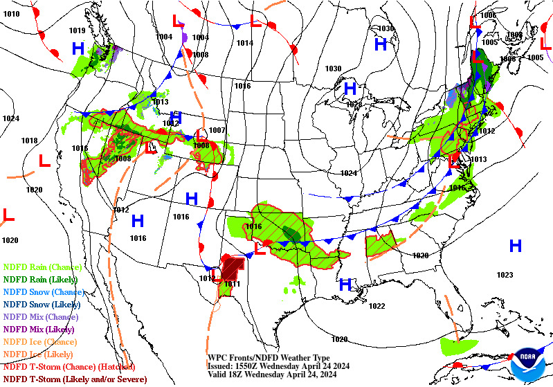
Click on an image to enlarge it.
6-Hour Forecast |
12-Hour Forecast |
18-Hour Forecast |
24-Hour Forecast |
 |
 |
 |
 |
Three-Day Loop |
|||
 |
|||
Click an image to enlarge it.
Day 1 |
Day 2 |
Day 3 |
|---|---|---|
 |
 |
 |
Click an image to view the detailed outlook.
Day 1 |
Day 2 |
Day 3 |
|---|---|---|
 |
 |
 |
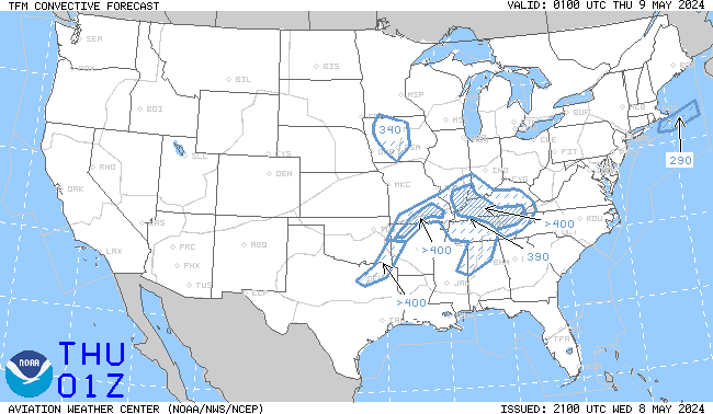
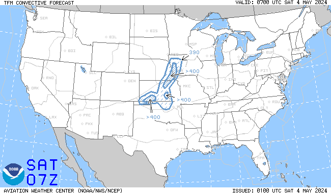
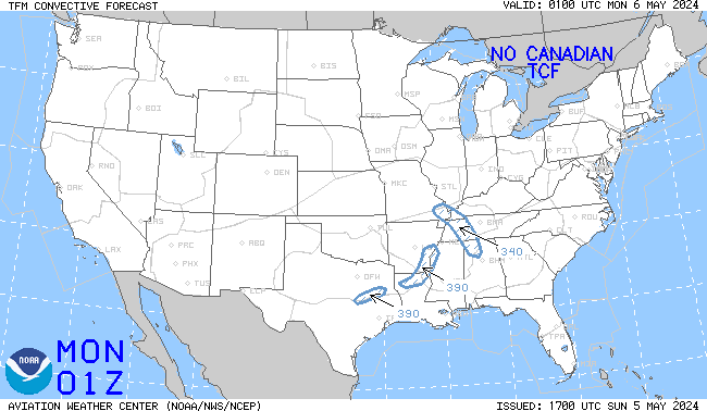
Click an image to enlarge it. Click here to go the AWC TCF website.
4-Hour Forecast |
6-Hour Forecast |
8-Hour Forecast |
|---|---|---|
 |
 |
 |
Click an image to go to the AWC website.
SIGMETs |
||||
|---|---|---|---|---|
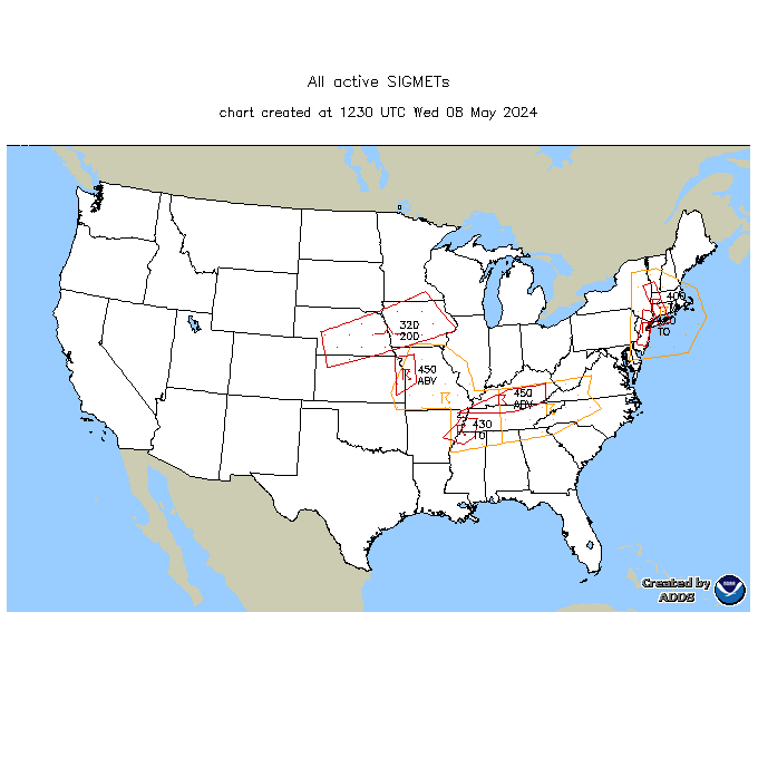 |
||||
AIRMET Sierra (Ceilings/Visibility/Mountain Obscuration) |
||||
00 Hour |
03 Hour |
06 Hour |
09 Hour |
12 Hour |
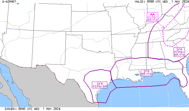 |
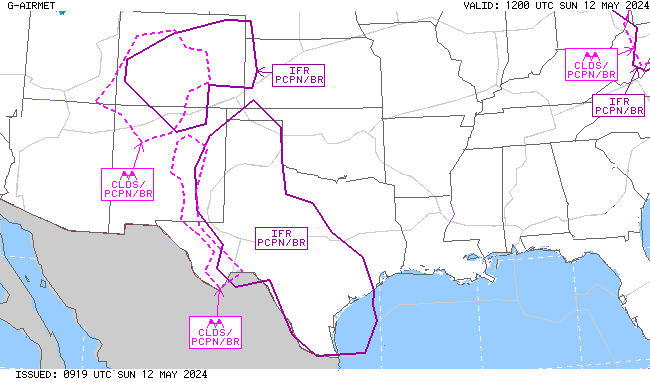 |
 |
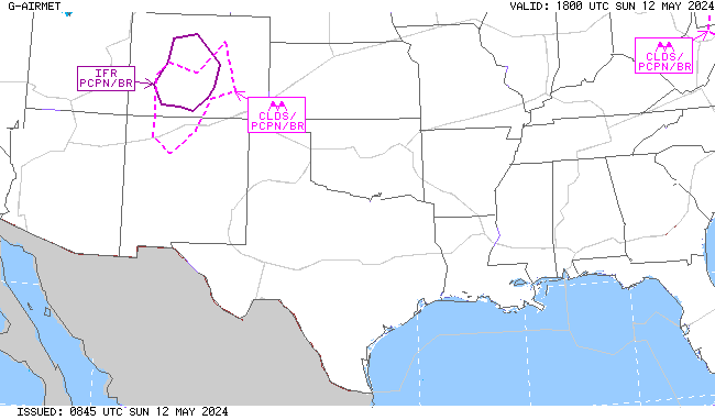 |
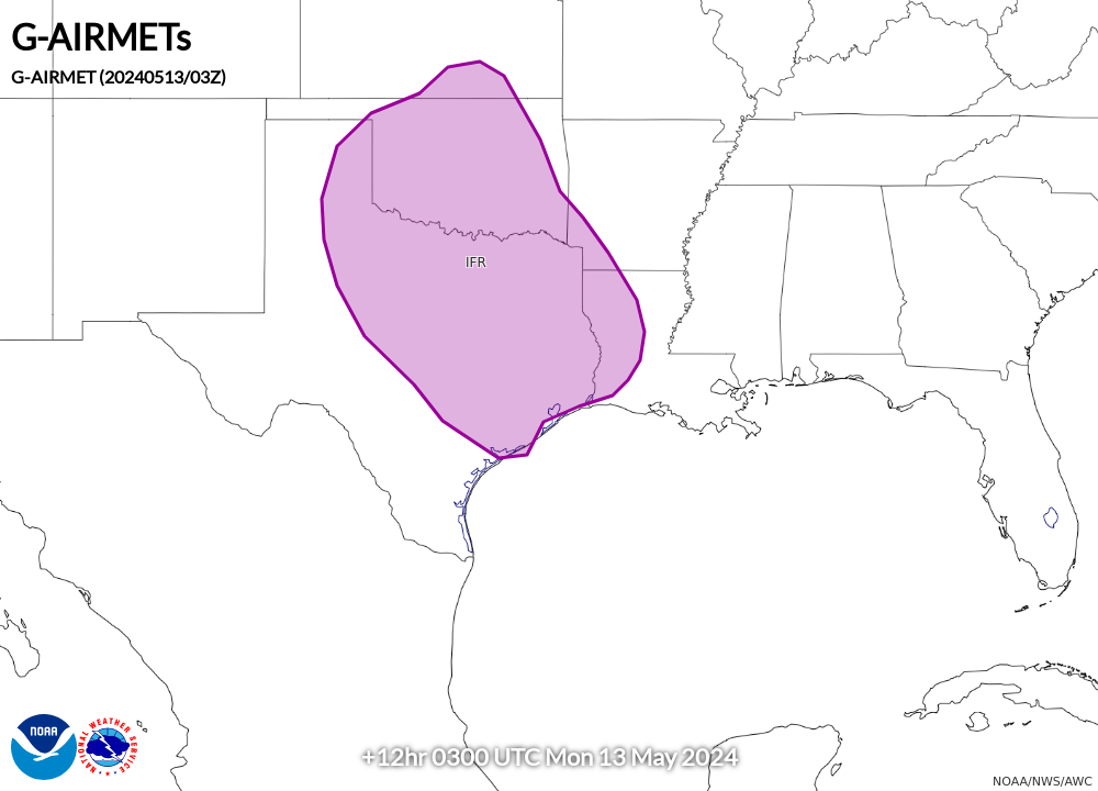 |
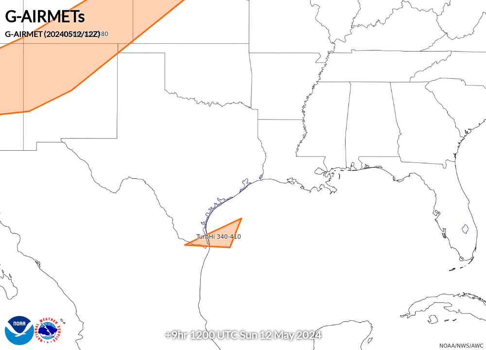
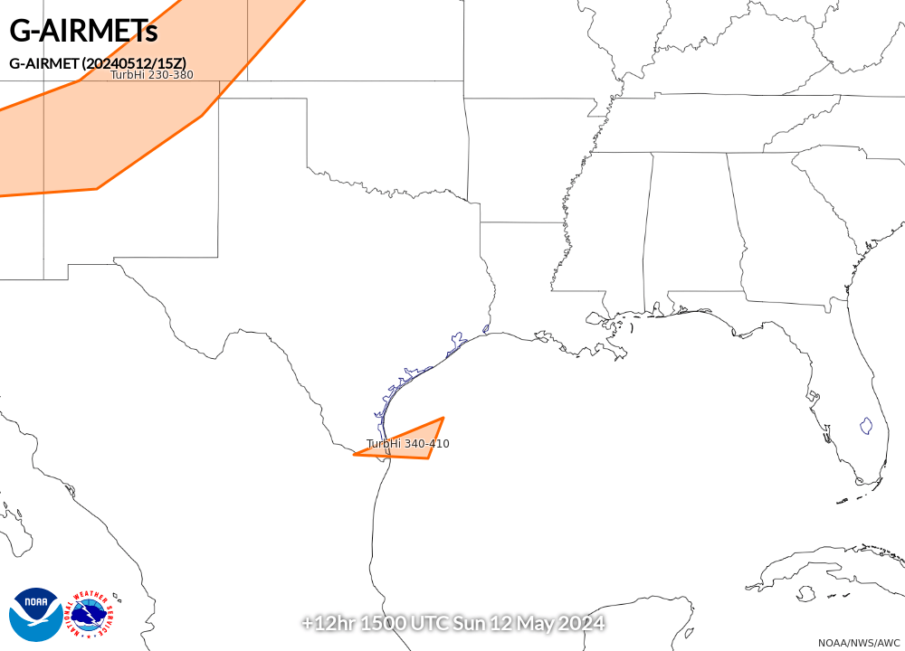
AIRMET Tango (Turbulence/Low-Level Wind Shear/Strong Surface Winds) |
||||
00 Hour |
03 Hour |
06 Hour |
09 Hour |
12 Hour |
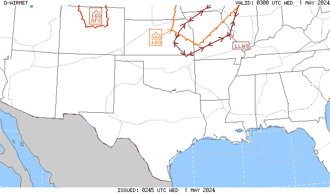 |
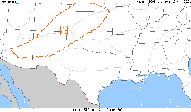 |
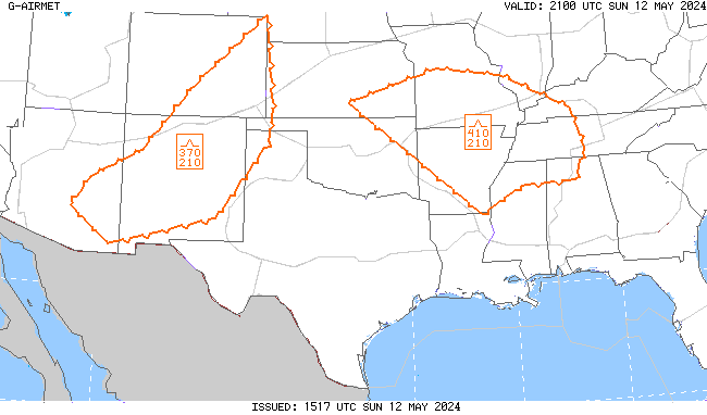 |
 |
 |
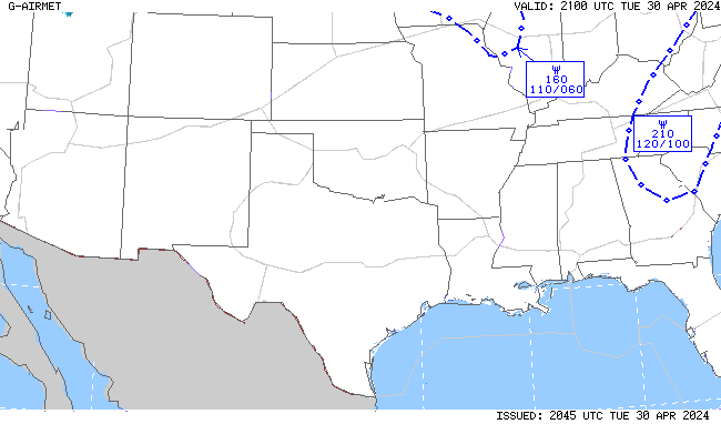
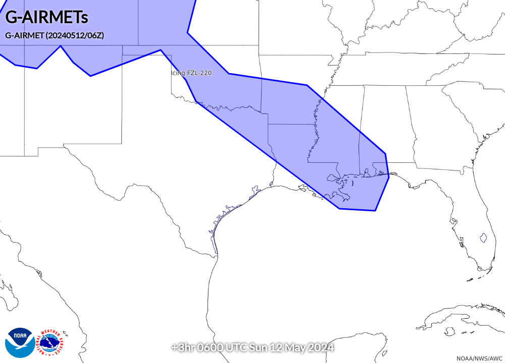
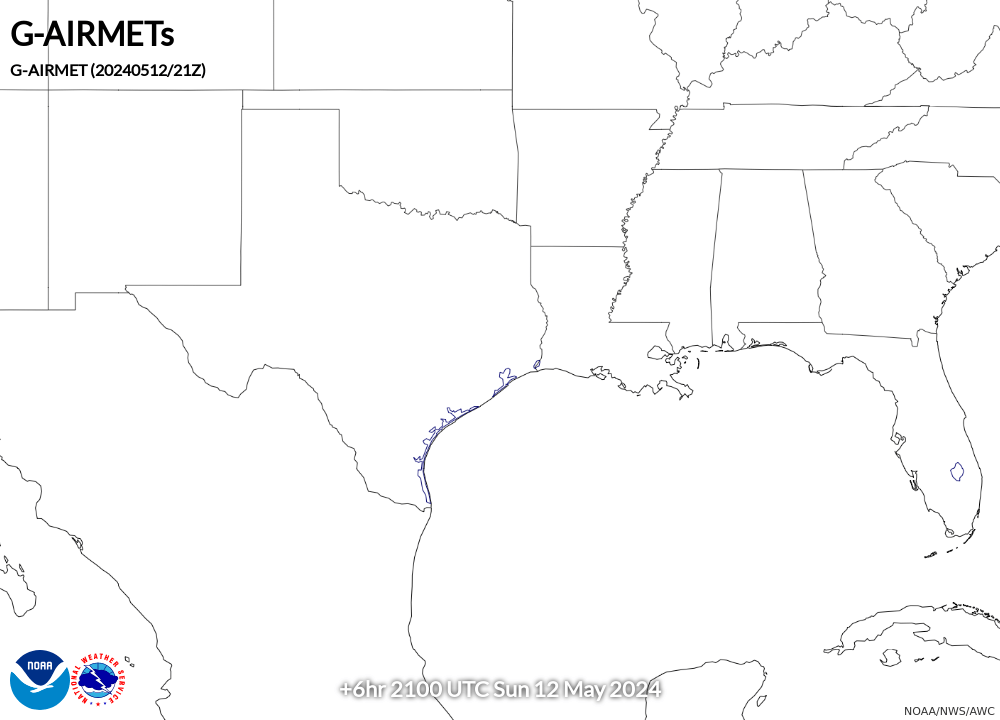
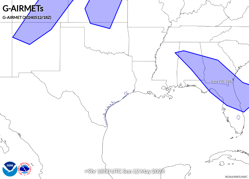
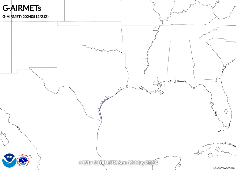
AIRMET Zulu (Icing and Freezing Level) |
||||
00 Hour |
03 Hour |
06 Hour |
09 Hour |
12 Hour |
 |
 |
 |
 |
 |