
Early April Tornado Event
April 5, 2022
Summary of all Local Storm Reports (LSRs) on April 5th, as well as all the LSRs across the region for this event.
In total, storm survey teams have identified 8 tornado tracks:
2 in Clarke County: 1 EF-2 and 1 EF-1
1 in Monroe County: EF-1
2 in Crenshaw County: EF-2 and EF-unknown
3 in Wayne County: 1 EF-2 and 2 EF1
The data provided on this page are considered preliminary as we continue to analyze all available data. We will add more information to this page and social media as it becomes available. We thank you in advance for your patience.
----- IMPORTANT 2023 UPDATE -----
Significant updates were made to several tornado tracks and wind swaths impacting the NWS Mobile/Pensacola area in the 2018 to 2023 timeframe thanks to the introduction of high-resolution Sentinel, Worldview, and Planet satellite imagery. One or multiple tornado tracks/wind swaths listed on this event webpage were updated in 2023.
An updated graphic and details surrounding these significant updates can be found further down on this webpage in the section for that specific tornado track or wind swath. More information on this Local Tornado Reanalysis Project and a list of all updates can be found on our webpage at weather.gov/mob/TornadoReanalysis or the National Damage Viewer.
Here is a list of the significant updates:
1. April 5, 2022 - Updated Tornado - Choctaw/Clarke County, AL: The width of the EF2 tornado just north of Coffeeville was widened near the starting point based on an additional area of snapped trees noted on Worldview satellite imagery.

Coffeeville Tornadoes (Clarke County, AL)

..Clarke County Tornado...

Rating:                 EF2
Estimated Peak Wind:    130 mph
Path Length /statute/:  9.46 miles
Path Width /maximum/:   800.0 yards
Fatalities:             0
Injuries:               0

Start Date:             04/05/2022
Start Time:             09:03 AM CDT
Start Location:         3 NNE Bladon Springs / Choctaw County /
AL
Start Lat/Lon:          31.7731 / -88.1682

End Date:               04/05/2022
End Time:               09:14 AM CDT
End Location:           3 W Mcentyre / Clarke County / AL
End Lat/Lon:            31.8147 / -88.0162

Survey Summary:
A strong EF2 tornado touched down on the Choctaw County side of
the Tombigbee River on 4/5/22 at 9:03 AM CDT. Aerial survey
revealed the tornado rapidly widened and intensified as it crossed
the river, reaching its peak intensity and width on the Clarke
County side at 130 mph and 800 yards in width. The forest along
and east of the river was mowed down with countless hardwood and
softwood trees snapped/uprooted. The tornado continued towards
West Bend Road where it produced EF1 damage over a wide swath
around 550 yards wide. The tornado entered a very distinct multi
vortex phase with three notable convergent damage patterns with
snapped softwood/hardwood trees at this point. This continued
east-northeast to Highway 69 where the tornado remained somewhere
between 500 to 600 yards wide as a multi-vortex doing EF1 damage,
snapping several hardwoods/softwoods and causing some minor to
moderate roof damage to homes. As the tornado moved northeast
towards Bethel Road, it weakened and narrowed in size considerably
only doing a small swath of EF0 damage. The tornado then turned
right towards the east and re-intensified into an EF1 at
Friendship Road with winds upwards of 95 mph as it snapped several
softwood trees. After this, the tornado weakened quickly coming
to an end on Smyer Road where only a couple snapped softwood trees
were noted. A special thanks to Alabama Law Enforcement Agency
and Clarke County EMA for conducting the aerial survey to help
ascertain the peak width and intensity of the tornado.


.Clarke County Tornado 2...

Rating:                 EF1
Estimated Peak Wind:    110 mph
Path Length /statute/:  1.83 miles
Path Width /maximum/:   100.0 yards
Fatalities:             0
Injuries:               0

Start Date:             04/05/2022
Start Time:             09:10 AM CDT
Start Location:         3 NNE Coffeeville / Clarke County / AL
Start Lat/Lon:          31.797 / -88.0528

End Date:               04/05/2022
End Time:               09:13 AM CDT
End Location:           4 W Mcentyre / Clarke County / AL
End Lat/Lon:            31.806 / -88.0281

Survey Summary:
A unique, brief satellite tornado began south of the Clarke County
EF2 tornado on 4/5/22 at approximately 9:10 AM CDT. This satellite
tornado produced EF1 damage where several softwood trees were
snapped/uprooted on Ice Plant Road. The tornado continued east-
northeast impacting a barn where there was significant loss of
roofing material and side covering. The tornado also uprooted a
large oak tree at this location. The tornado then quickly turned
east crossing Bethel Road and reaching Smyer Road as an EF0
snapping a couple softwood trees. The tornado completed its arc
around the southern periphery of the EF2 tornado with the
satellite tornado tracking due north along Smyer Road just before
Friendship Road, lifting just shy of the primary tornado
circulation. EF0 damage with a couple uprooted softwood trees were
the last observable damage at this point.
The photos below were taken during the tornado survey through Choctaw County and show the extent of the damage along the path of the EF-2 tornado (Tornado #1).


The photos below were taken during the tornado survey through Choctaw County and show the extent of the damage along the path of the satellite tornado (Tornado #2).

Petrey Tornado (Crenshaw County, AL)

..Petrey AL Tornado...

Rating:                 EF2
Estimated Peak Wind:    125 mph
Path Length /statute/:  1.34 miles
Path Width /maximum/:   250.0 yards
Fatalities:             0
Injuries:               0

Start Date:             04/05/2022
Start Time:             10:56 AM CDT
Start Location:         1 NNW Petrey / Crenshaw County / AL
Start Lat/Lon:          31.8712 / -86.2108

End Date:               04/05/2022
End Time:               10:59 AM CDT
End Location:           2 SE Helicon / Crenshaw County / AL
End Lat/Lon:            31.8833 / -86.193

Survey Summary:
A brief yet strong EF2 tornado occurred on 4/5/22 in Crenshaw
County by Petrey, AL at 10:56 AM CDT. The tornado began just
before Lapine Highway where it uprooted and snapped several
softwood trees. The tornado crossed the Highway, gradually
widening and causing some damage to the roof of a church while
continuing to snap and uproot softwood trees. The tornado quickly
impacted a chicken farm off of Shady Grove Road where one chicken
house was completely destroyed supporting the initial EF2 damage
location. As the tornado continued northeast, the radius of EF2
winds widened considerably. Winds peaked around 125 mph in the
adjacent forest resulting in complete devastation of approximately
20 to 30 acres of trees where numerous snapped softwoods and
snapped or uprooted hardwoods were observed. As the tornado
approached Smith Chapel Road, it began to quickly shrink in size
and weaken uprooting or snapping a handful of trees with no
notable damage after it crossed the road.
...NWS Damage Survey for 04/05/2022 Crenshaw County Tornado Event...

A second tornado has been confirmed from the Petrey, AL area on 4/5/2022. This
tornado was associated with the line segment that followed the initial Petrey
supercell that produced an EF2 tornado roughly 20 minutes earlier.

.Petrey AL Tornado #2...

Rating:                 EF-U
Estimated Peak Wind:    Unknown
Path Length /statute/:  Unknown
Path Width /maximum/:   Unknown
Fatalities:             0
Injuries:               0

Start Date:             04/05/2022
Start Time:             11:20 AM CDT
Start Location:         1 NNW Petrey / Crenshaw County / AL
Start Lat/Lon:          31.8712 / -86.2108

End Date:               04/05/2022
End Time:               Unknown
End Location:           Unknown
End Lat/Lon:            Unknown

After extensive analysis of data provided by PERiLs, sentinel
sattelite imagery, and third-party pressure data in conjunction
with multiple surrounding radars it has been determined that
another tornado occurred 1 mile NNW of Petrey, AL on 4/5/2022.
This tornado was associated with the line segment that was moving
through the area roughly 25 minutes after the intial tornado
producing supercell. During the initial storm survey there were
several discrepancies noted in the overall damage path that did
not quite line up with the initial tornado path including
snapped/uprooted trees by a pond and the damage done to the
southern portion of the chicken houses. Given the overlapping
paths and likely similar start points, it is impossible to
determine what the true intensity, path width, path length, and
end point of this tornado was. The beginning time of the tornado
is estimated by radar and third party pressure data. Special
thanks to all parties involved for providing invaluable data that
supported this determination.
The photos below were taken during the tornado survey in the Petrey community in Crenshaw County and show the extent of the damage along the path of the tornadoes.


Riley Tornado (Monroe County, AL)

..Riley AL Tornado...

Rating:                 EF1
Estimated Peak Wind:    100 mph
Path Length /statute/:  1.52 miles
Path Width /maximum/:   75.0 yards
Fatalities:             0
Injuries:               0

Start Date:             04/05/2022
Start Time:             10:10 AM CDT
Start Location:         1 WNW Riley / Monroe County / AL
Start Lat/Lon:          31.7302 / -87.1352

End Date:               04/05/2022
End Time:               10:13 AM CDT
End Location:           1 NNE Riley / Monroe County / AL
End Lat/Lon:            31.7421 / -87.1135

Survey Summary:
A brief EF1 tornado occurred on 4/5/22 at 10:10 AM CDT in northeast
Monroe County just west northwest of Riley, AL. The tornado began along
Highway 21 North where many hardwood trees were uprooted. The next
observable damage point was north northeast of Riley once again
on Highway 21 North at Flat Creek where there were multiple
snapped softwood trees supporting a peak intensity of EF1 at
100 mph. The tornado may have continued northeast from here,
however due to limited road access the end point is estimated just
northeast of the prior observable damage point.
The photo below was taken during the tornado survey in the Riley community in Monroe County and shows the extent of the damage along the path of the tornado.

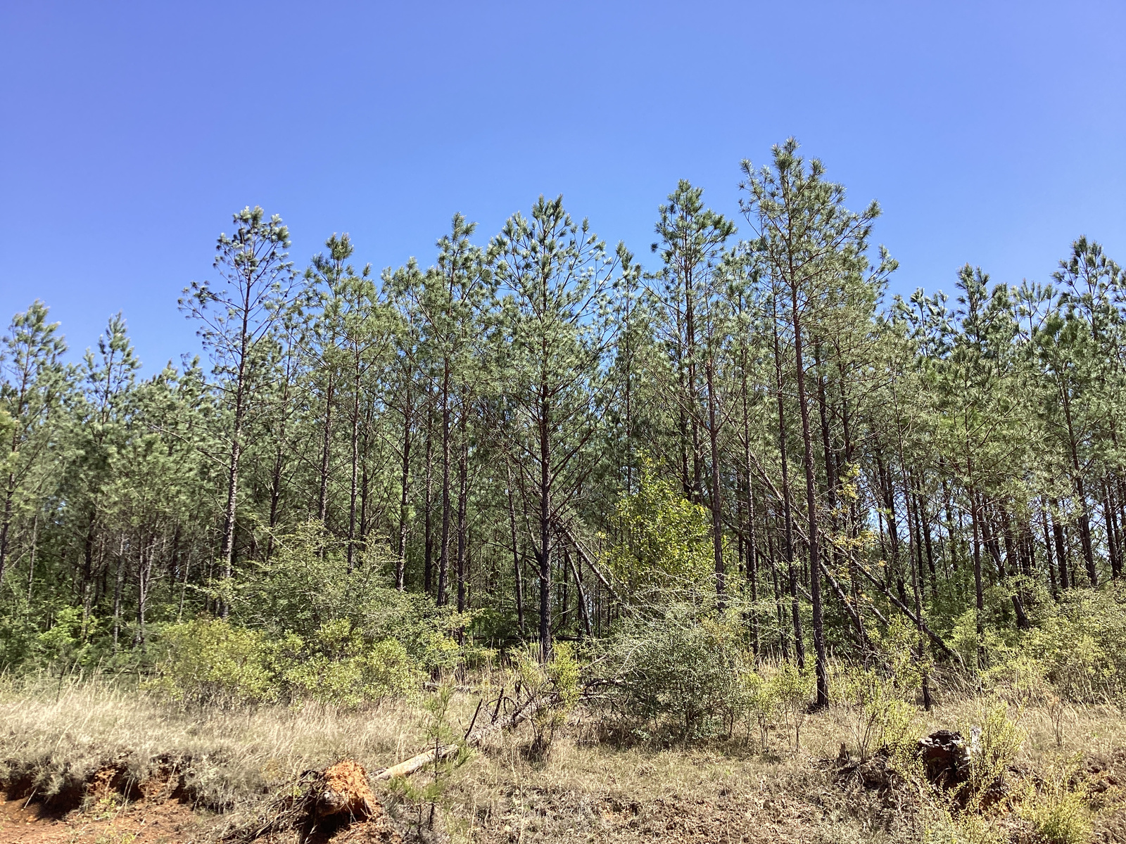
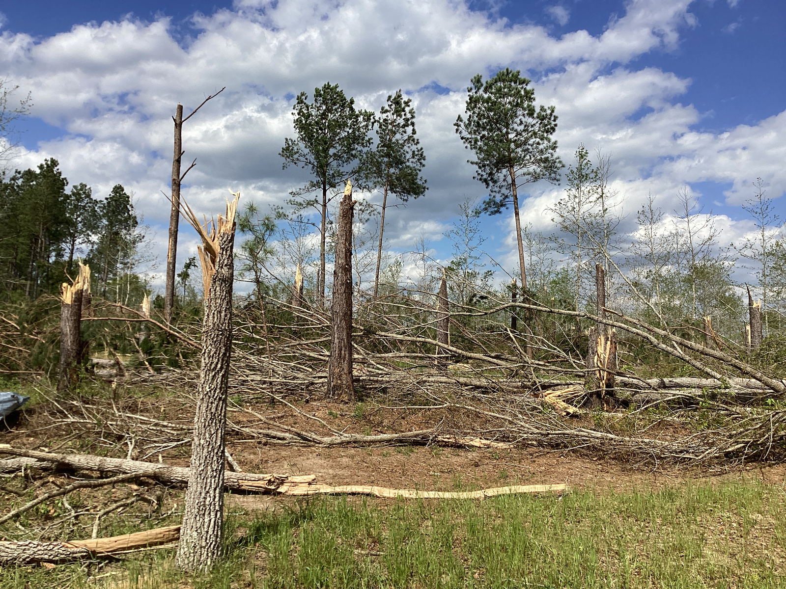
Elbert Mozingo Road Tornado (Wayne County, MS)

..Elbert Mozingo Road Tornado...

Rating:                 EF2
Estimated Peak Wind:    130 mph
Path Length /statute/:  2.21 miles
Path Width /maximum/:   250.0 yards
Fatalities:             0
Injuries:               0

Start Date:             04/05/2022
Start Time:             08:14 AM CDT
Start Location:         2 S Whistler / Wayne County / MS
Start Lat/Lon:          31.6636 / -88.8118

End Date:               04/05/2022
End Time:               08:18 AM CDT
End Location:           2 SE Whistler / Wayne County / MS
End Lat/Lon:            31.6732 / -88.7784

Survey Summary:
The tornado began in a heavily forested area west of Elbert
Mozingo Road and quickly traveled east across Elbert Mozingo Road
causing extensive tree damage to a large pine tree stand. Almost
all of the trees were snapped near the base suggesting upper bound
damage indicator. The tornado then continued east into a
forested area as it weakened briefly. The tornado then rapidly
strengthen again to its peak intensity of 130 mph south of Jim
Pitts Road. This damage was estimated by sentinel satellite data
as an extensive damage scar was noted with almost complete
deforestation occurring similar to other tornadoes that were rated
at 130 mph. The tornado then weakened as it approached Jim Pitts
Road from the south and lifted based off satellite data.
The photos below were taken during the tornado survey in Wayne County and show the extent of the damage along the path of the tornado.


Maynor Creek Road Tornado (Wayne County, MS)

..Maynor Creek Rd to Dick Sanderson Dr Tornado...

Rating:                 EF1
Estimated Peak Wind:    105 mph
Path Length /statute/:  2.56 miles
Path Width /maximum/:   100.0 yards
Fatalities:             0
Injuries:               0

Start Date:             04/05/2022
Start Time:             08:19 AM CDT
Start Location:         2 SE Whistler / Wayne County / MS
Start Lat/Lon:          31.6704 / -88.7757

End Date:               04/05/2022
End Time:               08:22 AM CDT
End Location:           4 WSW Woodwards / Wayne County / MS
End Lat/Lon:            31.6709 / -88.7323

Survey Summary:
Tornado began west of Maynor Creek Road and south of Jim Pitts
Road estimated by sentinel satellite imagery. Damage was then
noted along Maynor Creek Road where several trees were uprooted
and snapped. A swath of trees snapped along the path that may have
been associated with a secondary vortex south of the main damage
swath. The tornado then continued east across Troy Sanderson Drive
and Dick Sanderson drive where trees were uprooted and snapped. A
couple homes had minor roof damage and a carport was lofted about
40 feet into a tree. The tornado appears to have weakened and
lifted shortly after Dick Sanderson Drive.
The photos below were taken during the tornado survey in Wayne County and show the extent of the damage along the path of the tornado.


Duncan Hill Road Tornado (Wayne County, MS)

..Duncan Hill Road Tornado...

Rating:                 EF1
Estimated Peak Wind:    110 mph
Path Length /statute/:  0.29 miles
Path Width /maximum/:   50.0 yards
Fatalities:             0
Injuries:               0

Start Date:             04/05/2022
Start Time:             08:36 AM CDT
Start Location:         2 NNW Denham / Wayne County / MS
Start Lat/Lon:          31.6856 / -88.531

End Date:               04/05/2022
End Time:               08:37 AM CDT
End Location:           2 N Denham / Wayne County / MS
End Lat/Lon:            31.6863 / -88.5261

Survey Summary:
A brief but strong EF1 tornado began in the forested area west of
Duncan Hill Road. The tornado then quickly crossed Duncan Hill
Road snapping and uprooting numerous softwood trees. Several trees
fell on a home causing damage to the home. The tornado then
continued into the woods where the path was not able to be
tracked; however, it appears to have lifted somewhere in the
wooded areas east of Duncan Hill Road.
The photos below were taken during the tornado survey in Wayne County and show the extent of the damage along the path of the tornado.


Additional Information
NWS Local Write-Ups and Webpages:
NWS Birmingham
Acknowledgements: Page created by Morgan Barry (Forecaster), Jason Beaman (WCM), and Christina Leach (Forecaster). Page updated by Caitlin Baldwin (Forecaster).
LAST UPDATED: March 2024


 Follow us on YouTube