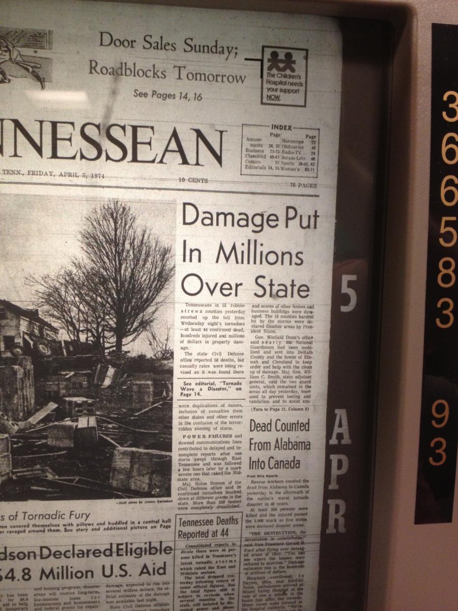
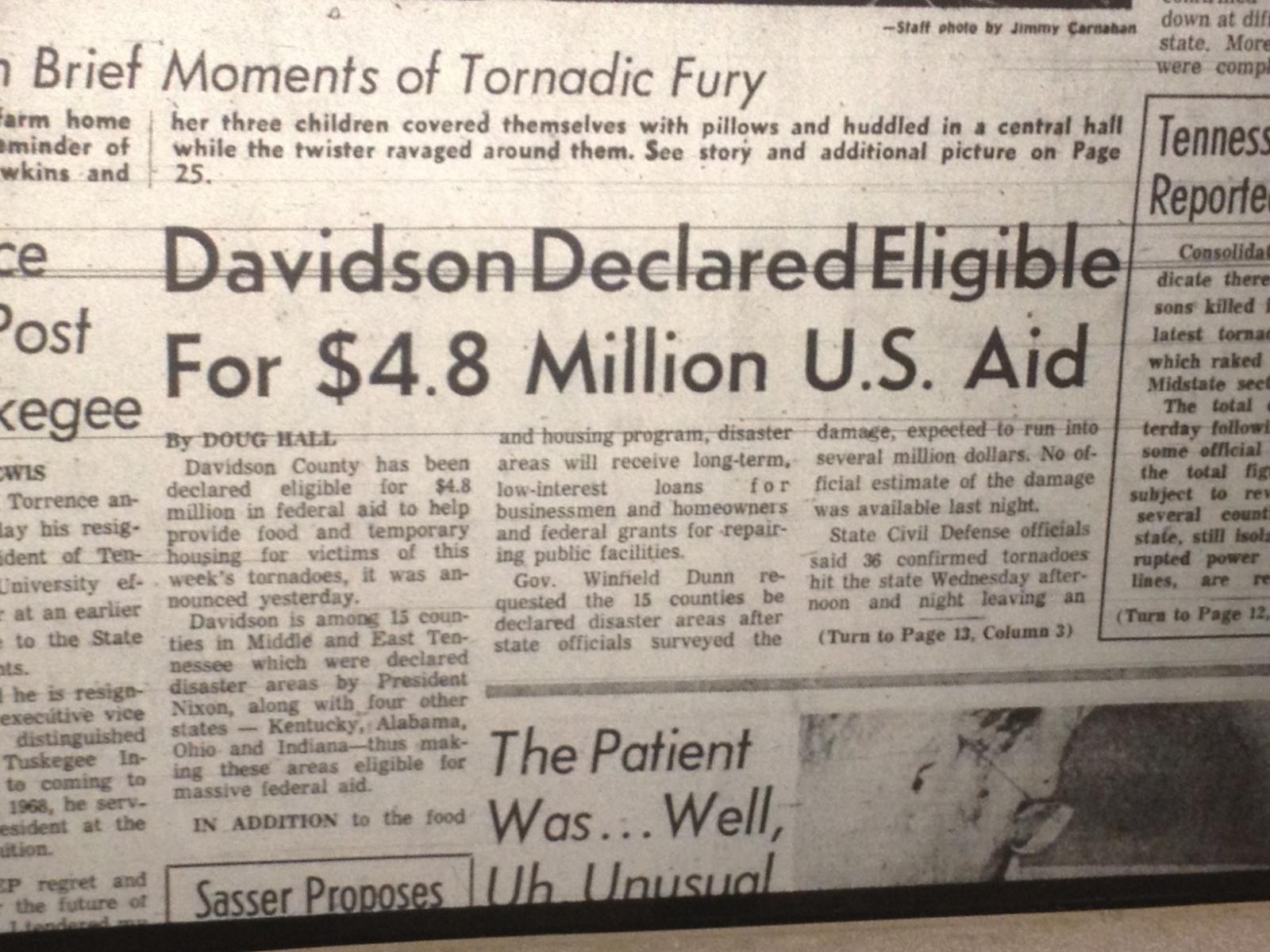
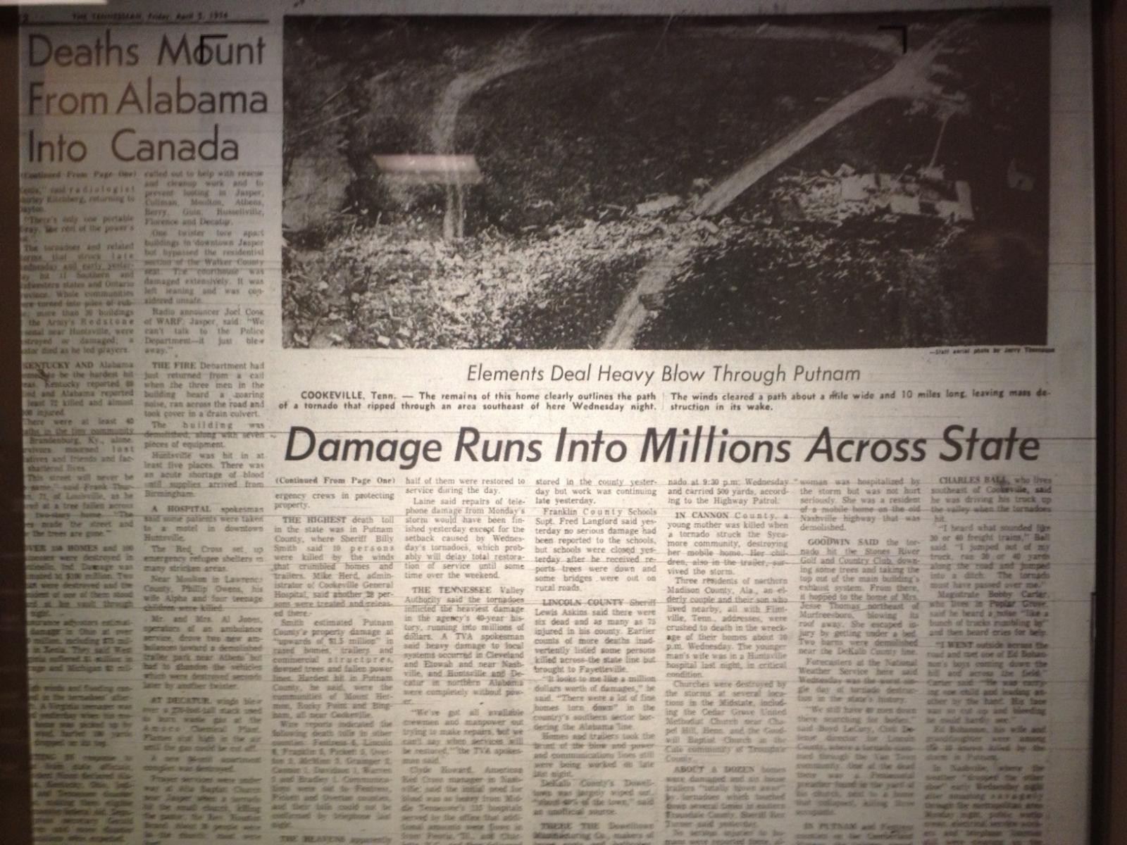
This year marks the 48th anniversary of the April 3-4, 1974 tornado outbreak - one of the worst tornado outbreaks to ever affect the U.S. Dubbed the "Super Outbreak", at least 148 tornadoes struck 13 states from the Gulf Coast to the Great Lakes over a 16 hour period from the afternoon of April 3, 1974 into the early morning hours of April 4, 1974. When it was over, 330 people were dead and 5,484 were injured. Damage from all of the tornadoes combined added up to a path more than 2,500 miles long.
Across Middle Tennessee, at least 24 tornadoes affected areas along and east of the I-65 corridor, making this the largest known outbreak of tornadoes to ever impact the Mid State. In fact, several other weak tornadoes also likely touched down that were never officially recorded. The "Super Outbreak" is considered the worst tornado outbreak to strike the Upper Cumberland Region, with 38 people killed and hundreds of others injured.
This webpage serves to commemorate this historic event with a look back at the 24 tornadoes that struck Middle Tennessee that day, with maps, photos, videos, newspaper articles, research, and more. If you have stories, photos, videos, or other information from the April 3-4, 1974 Super Outbreak that you would like to share, please contact us at sr-ohx.webmaster@noaa.gov.
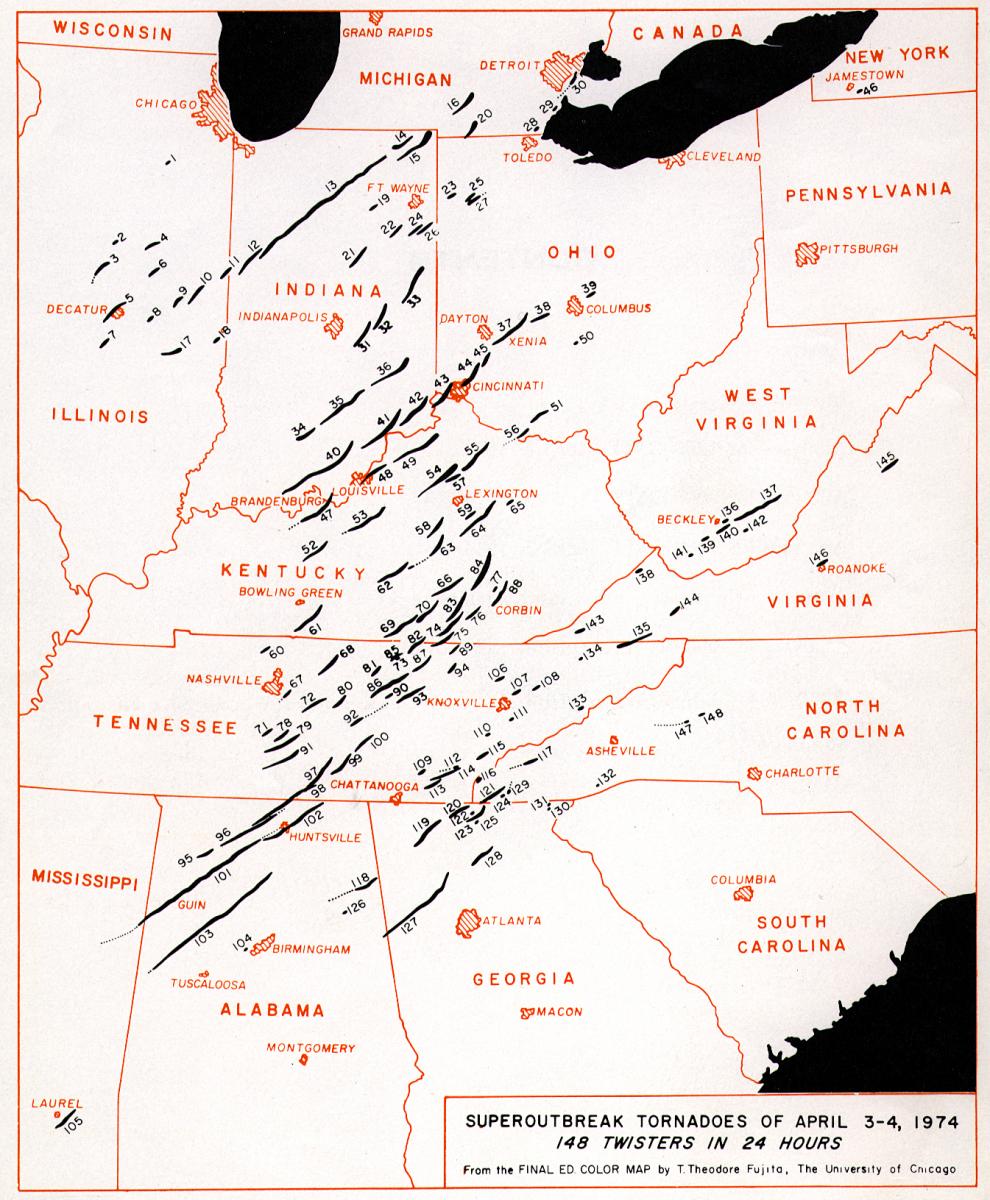 Map of April 3-4, 1974 Super Outbreak by T. Theodore Fujita |
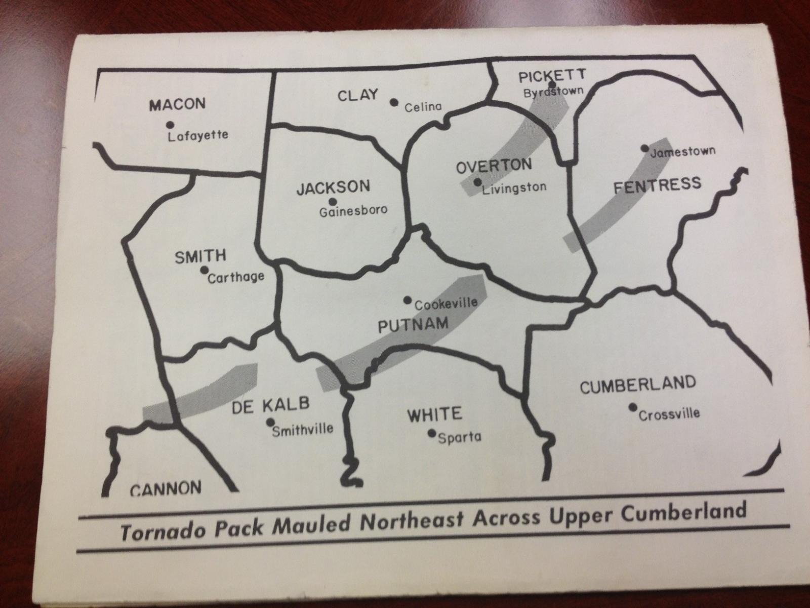
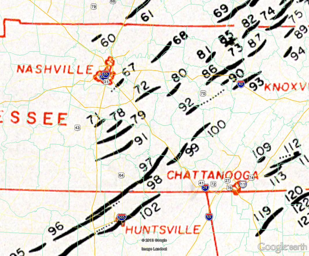 Middle Tennessee portion of April 3-4, 1974 Super Outbreak (NOTE: NOT TO SCALE) |
| April 3-4 1974 Middle Tennessee Tornadoes | |||||||||
| # | Map # | Counties | Rating | Time (CST) | Length (mi) | Width (yds) | Fatalities | Injuries | |
| 1 | - | Montgomery | F1 | 1430 | 1 | 25 | 0 | 0 | |
| 2 | 60 | Robertson | F1 | 1500 | 4 | - | 0 | 0 | |
| 3 | 67 | Davidson | F2 | 1618 | 12 | 400 | 0 | 0 | |
| 4 | 71 | Maury/Marshall | F1 | 1630 | 8 | - | 0 | 0 | |
| 5 | 68 | Wilson/Trousdale | F3 | 1700 | 21 | 300 | 0 | 0 | |
| 6 | 78 | Marshall/Bedford | F1 | 1700 | 13 | - | 0 | 4 | |
| 7 | 72 | Rutherford/Wilson | F3 | 1710 | 15 | 100 | 0 | 0 | |
| 8 | 79 | Marshall/Bedford | F1 | 1715 | 26 | - | 0 | 0 | |
| 9 | 98 | Limestone AL/Madison AL/Lincoln/Franklin | F5 | 1825 | 50 | 500 | 16 AL/6 TN | 250 | |
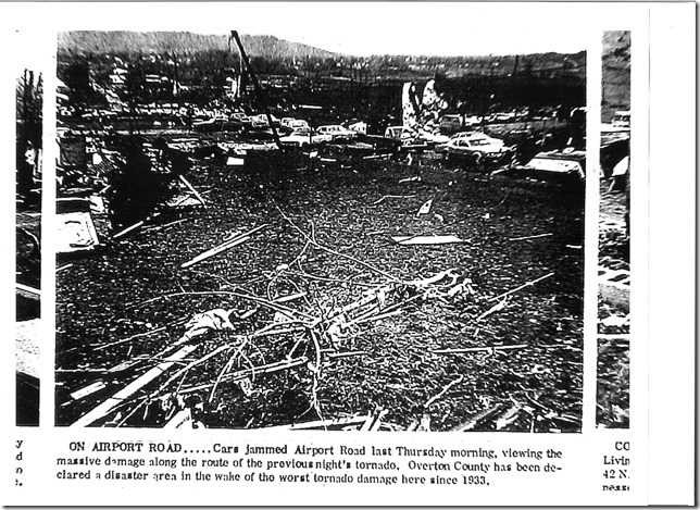
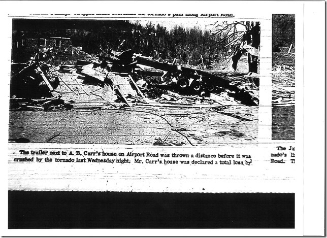
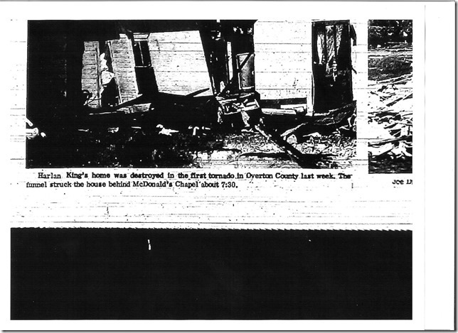
| 10 | 73 | Overton | F1 | 1830 | 4 | - | 0 | 0 | |
| 11 | 80 | Cannon/DeKalb | F3 | 1830 | 15 | 100 | 1 | 23 | |
| 12 | 81 | Jackson/Putnam | F1 | 1900 | 9 | - | 0 | 0 | |
| 13 | 97 | Lincoln/Franklin/Coffee | F4 | 1900 | 36 | 400 | 5 | 20 | |
| 14 | 75 | Pickett/Scott/McCreary KY | F2 | 1915 | 20 | - | 0 | 0 | |
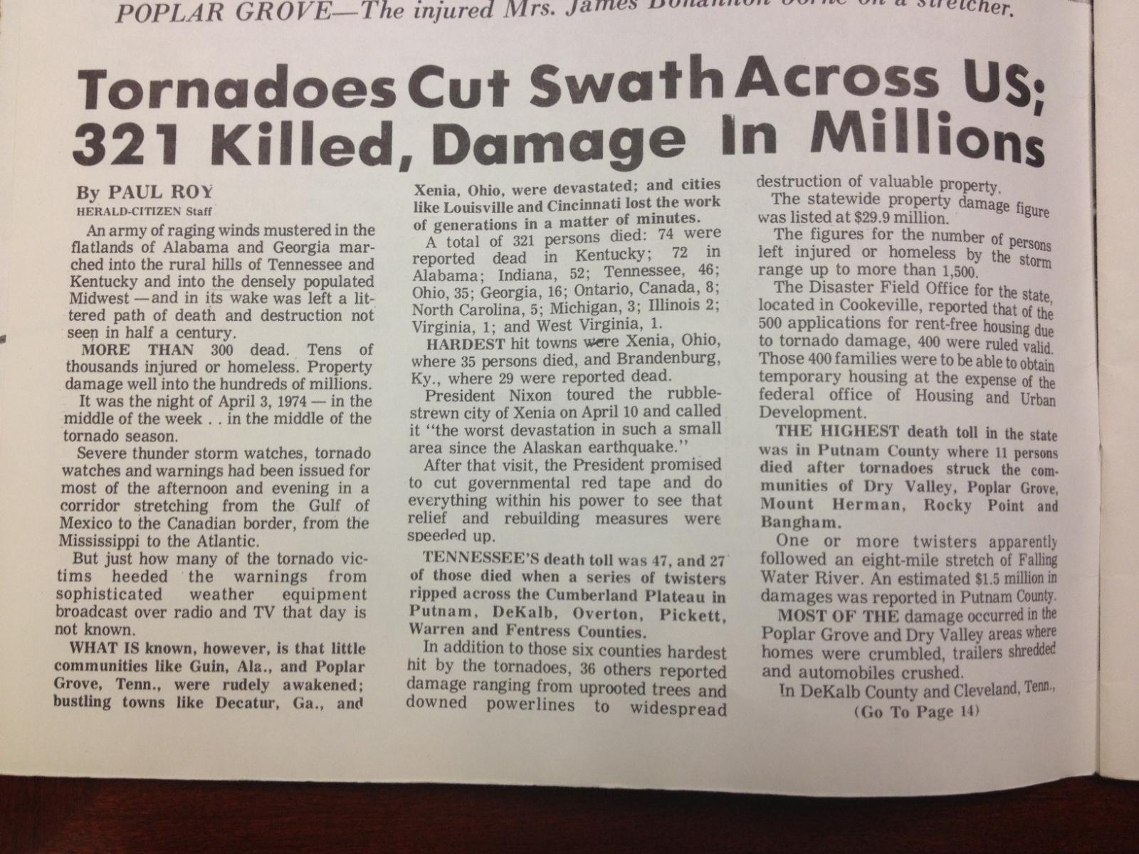
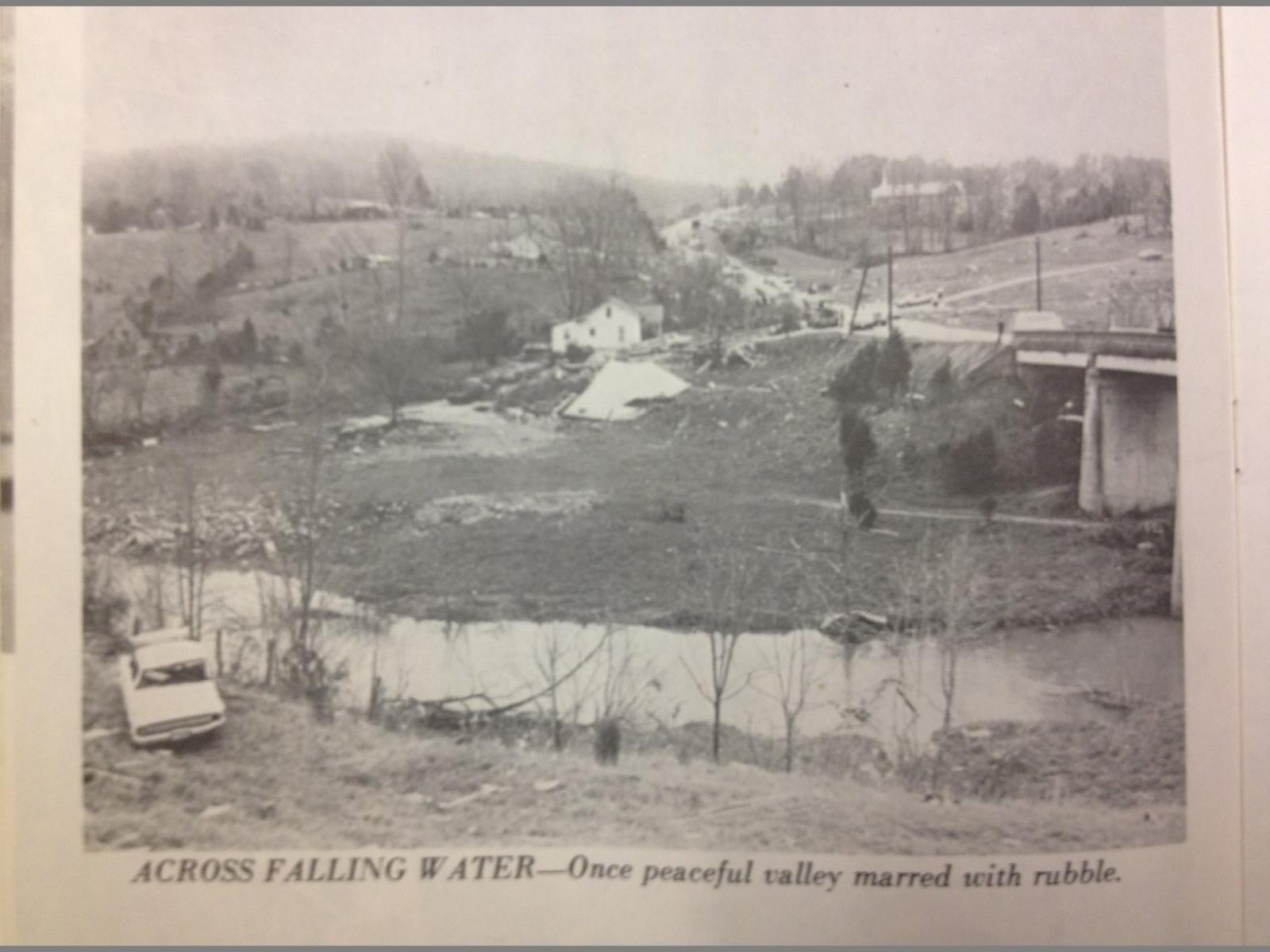
| 15 | 86 | White/Putnam/Overton | F4 | 1915 | 32 | 700 | 10 | 51 | |
| 16 | 82 | Pickett/Wayne KY | F4 | 1930 | 19 | 300 | 5 | 6 | |
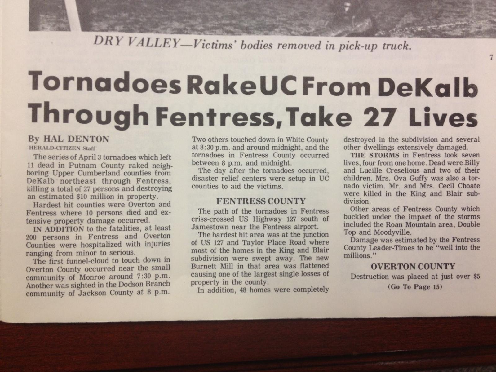
| 17 | 87 | Fentress | F4 | 1950 | 13 | 500 | 7 | 150 | |
| 18 | 99 | Franklin/Coffee/Grundy | F3 | 2000 | 20 | 100 | 0 | 1 | |
| 19 | 100 | Warren/Van Buren | F3 | 2015 | 16 | 100 | 1 | 1 | |
| 20 | 91 | Giles/Marshall/Bedford | F1 | 2100 | 28 | - | 0 | 0 | |
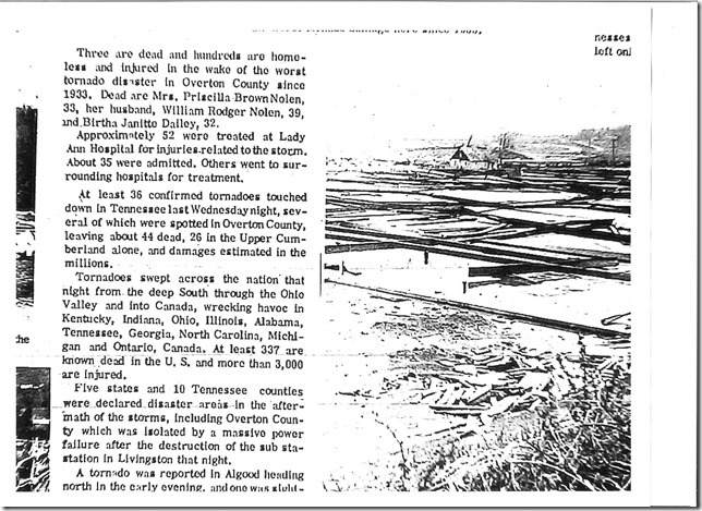
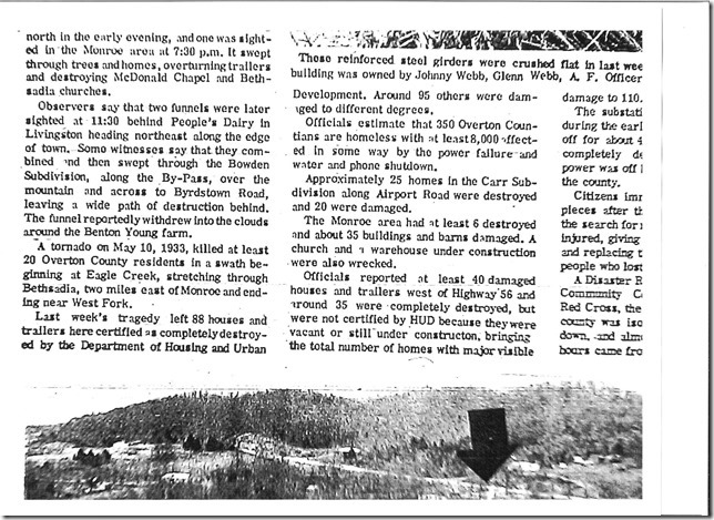
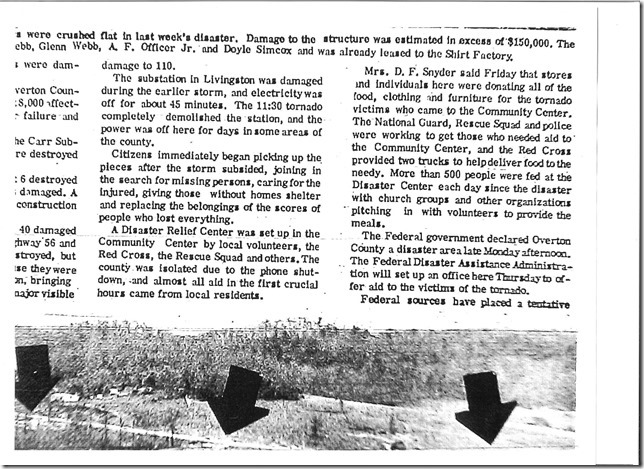
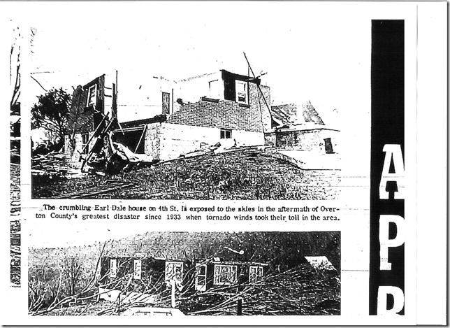
| 21 | 85 | Overton | F3 | 2230 | 13 | 400 | 3 | 120 | |
| 22 | 90 | White/Putnam | F1 | 2245 | 3 | - | 0 | 0 | |
| 23 | 92 | Warren/White | F1 | 2245 | 7 | - | 0 | 1 | |
| 24 | 93 | White/Cumberland | F3 | 2330 | 26 | 300 | 0 | 28 | |
| 4/3/1974 Davidson Tornado | |||||||
| Map # | Counties | Rating | Time (CST) | Length (mi) | Width (yds) | Fatalities | Injuries |
| 67 | Davidson | F2 | 1618 | 12 | 400 | 0 | 0 |
|
From SIGNIFICANT TORNADOES 1680-1995 by THOMAS P. GRAZULIS: Moved northeast at the southeast edge of Nashville, tearing apart and unroofing large homes, trailers, and businesses at or near the "edge o' Lake" subdivision. Most NWS personnel today would rate this as an (E)F3 tornado. Damage totalled $1,000,000. |
|||||||
Photos taken near Percy Priest Lake courtesy of Niki Gentry (original photographer unknown)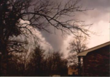  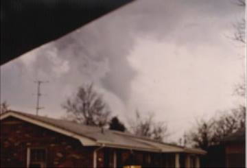  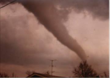  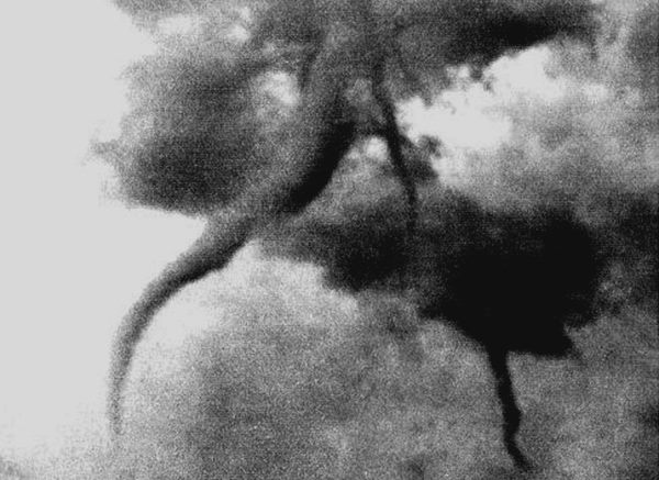 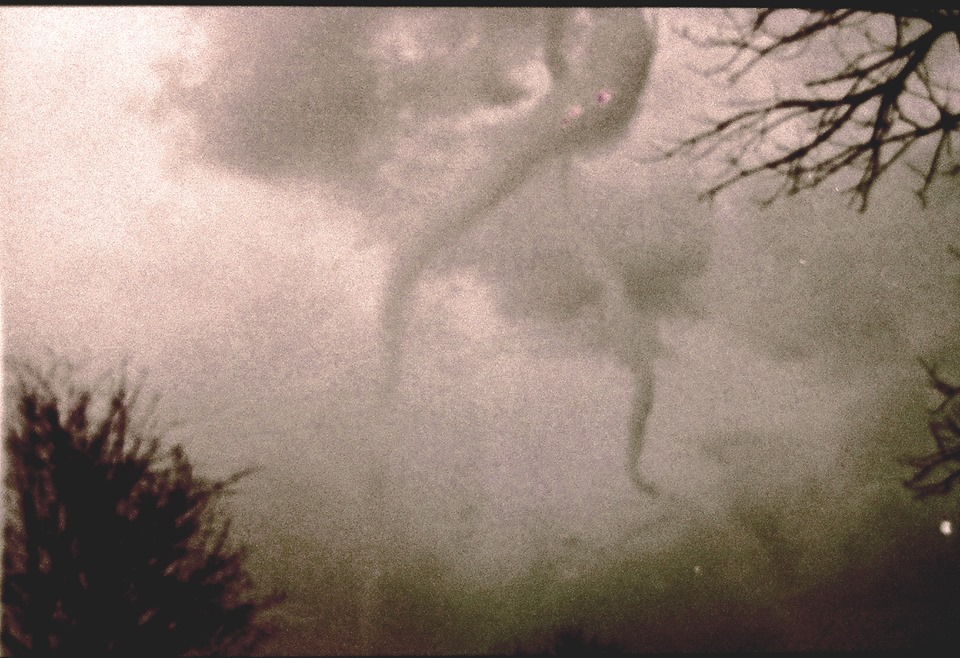   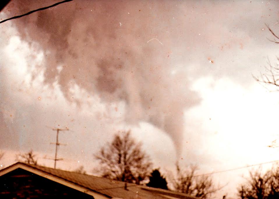 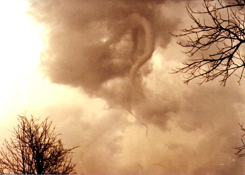 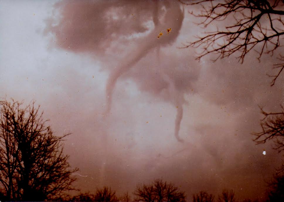 |
|||||||
| 4/3/1974 Wilson/Trousdale/Smith Tornado | |||||||
| Map # | Counties | Rating | Time (CST) | Length (mi) | Width (yds) | Fatalities | Injuries |
| 68 | Wilson/Trousdale/Smith | F3 | 1700 | 21 | 300 | 0 | 0 |
| From SIGNIFICANT TORNADOES 1680-1995 by THOMAS P. GRAZULIS: Moved northeast from 3 miles northwest of Lebanon, passing along the east edge of Trousdale County, hitting Dickson Springs in Smith County and then moving back into Trousdale County. At Dickson Springs, near-F4 damage occurred to a few of the half dozen homes that were destroyed. Damage totalled $1,000,000. | |||||||
| 4/3/1974 Rutherford/Wilson Tornado | |||||||
| Map # | Counties | Rating | Time (CST) | Length (mi) | Width (yds) | Fatalities | Injuries |
| 72 | Rutherford/Wilson | F3 | 1710 | 19 | 100 | 0 | 0 |
| From SIGNIFICANT TORNADOES 1680-1995 by THOMAS P. GRAZULIS: Moved east-northeast from 5 miles northwest of Murfreesboro, passing west of Lascassas and ending near Statesville. Damage was near-F4 intensity to three homes that were completely destroyed. Damaged totalled $200,000. | |||||||
| 4/3/1974 Limestone/Madison AL/Lincoln Tornado | |||||||
| Map # | Counties | Rating | Time (CST) | Length (mi) | Width (yds) | Fatalities | Injuries |
| 98 | Limestone/Madison AL/Lincoln | F4 | 1825 | 50 | 500 | 16 AL/6 TN | 250 |
| From SIGNIFICANT TORNADOES 1680-1995 by THOMAS P. GRAZULIS: Moved northeast from just north of the Tennessee River, 8 miles south-southwest of Athens, just a half mile north of the track of tornado #96, which passed by a half hour earlier. Up to 19 people were injured in one home. Tanner, Capshaw, and Harvest were hit by both tornadoes. Sixteen deaths occurred in Alabama. Two of the six deaths in Tennessee were in a church near "Vanntown", near Flintville. The tornado produced F3 or F4 damage for its entire path length. Nearly 1000 buildings were destroyed by these two tornadoes, but no effort was made to determine the exact number of buildings destroyed by the individual tornadoes. The funnel dissipated at the Franklin County line. | |||||||
| 4/3/1974 Cannon/De Kalb Tornado | |||||||
| Map # | Counties | Rating | Time (CST) | Length (mi) | Width (yds) | Fatalities | Injuries |
| 80 | Cannon/DeKalb | F3 | 1830 | 15 | 100 | 1 | 23 |
| From SIGNIFICANT TORNADOES 1680-1995 by THOMAS P. GRAZULIS: Moved northeast from Sycamore to Dowelltown. A woman was killed in a trailer at Sycamore. Most of the property losses were in Dowelltown, where the post office, a factory, and 18 homes were severely damaged or destroyed. A death by heart attack (not counted) also occurred at Dowelltown. | |||||||
| 4/3/1974 Lincoln/Franklin/Coffee Tornado | |||||||
| Map # | Counties | Rating | Time (CST) | Length (mi) | Width (yds) | Fatalities | Injuries |
| 97 | Lincoln/Franklin/Coffee | F4 | 1900 | 36 | 400 | 5 | 20 |
| From SIGNIFICANT TORNADOES 1680-1995 by THOMAS P. GRAZULIS: Moved northeast fron the southeast corner of Lincoln County, gradually intensifying as it crossed into Franklin County. Homes were leveled at Harmony, "Pleasant Ridge", and "Broadview". A woman and her son were killed in the basement of a home when a concrete block wall collapsed in Franklin County. Three people died in another home. The funnel passed over Tims Ford Lake and did minor damage in Coffee County. About 46 homes and 90 barns were destroyed in Franklin County. | |||||||
| 4/3/1974 Pickett/Scott/McCreary KY Tornado | |||||||
| Map # | Counties | Rating | Time (CST) | Length (mi) | Width (yds) | Fatalities | Injuries |
| 75 | Pickett/Scott/McCreary KY | F2 | 1915 | 20 | unknown | 0 | 0 |
| From SIGNIFICANT TORNADOES 1680-1995 by THOMAS P. GRAZULIS: Moved northeast from extreme east Pickett County, cutting a swath through Pickett State Park and other forest land. The track ended near Smith Town, Kentucky. | |||||||
| 4/3/1974 White/Putnam/Overton Tornado | |||||||
| Map # | Counties | Rating | Time (CST) | Length (mi) | Width (yds) | Fatalities | Injuries |
| 86 | White/Putnam/Overton | F4 | 1915 | 32 | 700 | 10 | 51 |
| From SIGNIFICANT TORNADOES 1680-1995 by THOMAS P. GRAZULIS: Moved northeast from "Macedonia" in northwest White County, passing 6 miles southeast of Cookeville and lifting 3 miles northeast of Hanging Limb in south Overton County. All deaths were in leveled homes in Putnam County, southeast of Cookeville. One person died a month after the tronado, a rarity today, but common at the turn of the century. Fifty homes were destroyed near Cookeville. | |||||||
| 4/3/1974 Pickett/Wayne KY Tornado | |||||||
| Map # | Counties | Rating | Time (CST) | Length (mi) | Width (yds) | Fatalities | Injuries |
| 82 | Pickett/Wayne KY | F4 | 1930 | 19 | 300 | 5 | 6 |
| From SIGNIFICANT TORNADOES 1680-1995 by THOMAS P. GRAZULIS: Moved northeast from near Faix, through southeast Moodyville and "Caney Creek" in Tennessee, ending east of Chanute. The funnel lifted west of Mt. Pisgah, in Kentucky. All deaths were at Moodyville, as homes were leveled. The five deaths were in two of 12 homes that were destroyed. Four died in one home. | |||||||
| 4/3/1974 Fentress Tornado | |||||||
| Map # | Counties | Rating | Time (CST) | Length (mi) | Width (yds) | Fatalities | Injuries |
| 87 | Fentress | F4 | 1950 | 13 | 500 | 7 | 150 |
| From SIGNIFICANT TORNADOES 1680-1995 by THOMAS P. GRAZULIS: Moved northeast from 2 miles southeast of Davidson to south-southeast of Jamestown, hitting 3 miles southwest of Sharp Place. The deaths occurred near the intersection of Highway 127 and Highway 52, as four different Jamestown subdivisions were torn apart. A tractor-trailer truck was thrown 100 yards into home. Deaths were in seven of the 48 homes which were destroyed. | |||||||
| 4/3/1974 Franklin/Coffee/Grundy Tornado | |||||||
| Map # | Counties | Rating | Time (CST) | Length (mi) | Width (yds) | Fatalities | Injuries |
| 99 | Franklin/Coffee/Grundy | F3 | 2000 | 20 | 100 | 0 | 1 |
| From SIGNIFICANT TORNADOES 1680-1995 by THOMAS P. GRAZULIS: Moved northeast from 4 miles northeast of Winchester, ending 10 miles west of Altamont at "Rutledge Hill", destroying one home and a trailer. | |||||||
| 4/3/1974 Warren/Van Buren Tornado | |||||||
| Map # | Counties | Rating | Time (CST) | Length (mi) | Width (yds) | Fatalities | Injuries |
| 100 | Warren/Van Buren | F3 | 2015 | 16 | 100 | 1 | 1 |
| From SIGNIFICANT TORNADOES 1680-1995 by THOMAS P. GRAZULIS: Moved northeast, passing south of Irving College. A pickup truck was blown from Highway 56, killing the driver in the Viola-Shiloh area. Two frame homes and four trailers were also destroyed. A pickup truck was carried and rolled 500 yards. Damage totalled $236,000. | |||||||
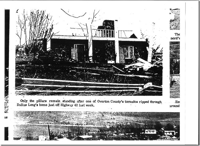
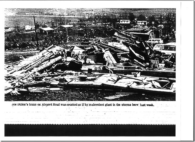
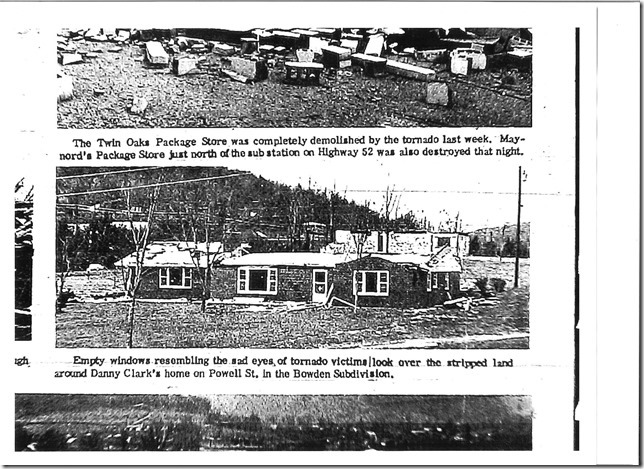
| 4/3/1974 Overton Tornado | |||||||
| Map # | Counties | Rating | Time (CST) | Length (mi) | Width (yds) | Fatalities | Injuries |
| 85 | Overton | F3 | 2230 | 13 | 400 | 3 | 120 |
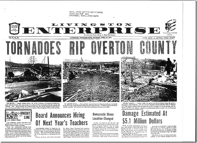
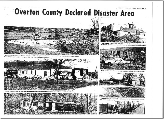
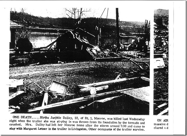
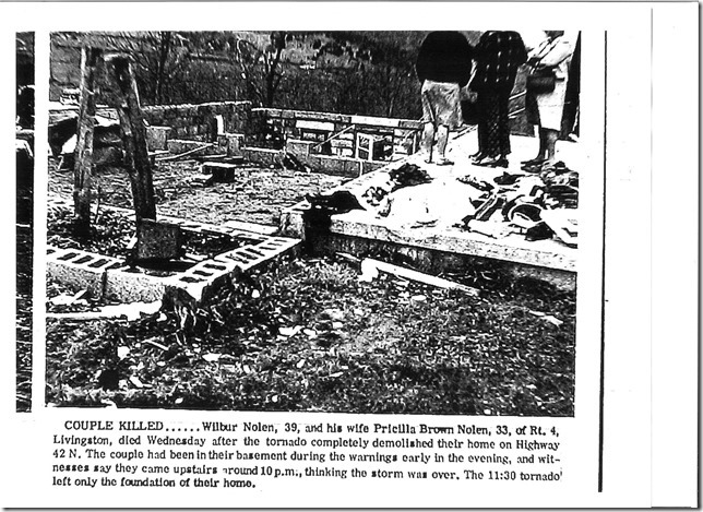
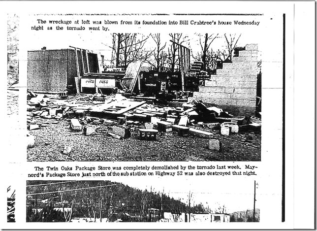
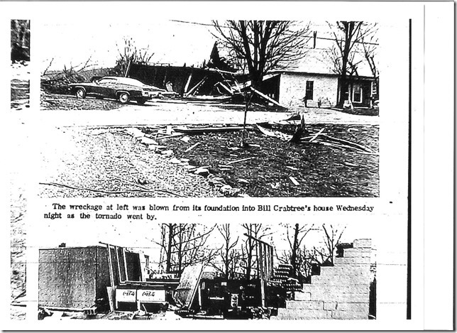
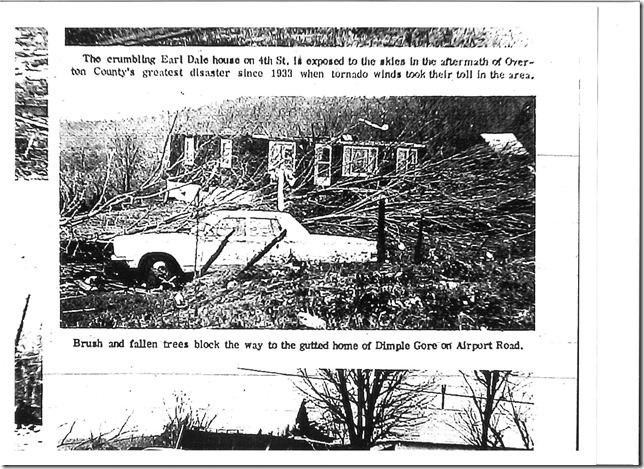
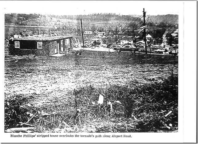
| From SIGNIFICANT TORNADOES 1680-1995 by THOMAS P. GRAZULIS: Moved northeast from southwest of Livingston to the northwest part of town, where two subdivisions were ripped apart. The three deaths were in two trailers, one on Highway 52 and the other on the Monroe Highway, outside the subdivisions. The funnel lifted near the Pickett County line, close to the Highway 42 and Highway 85 intersection. Over 275 residences were damaged. | |||||||
| 4/3/1974 White/Cumberland Tornado | |||||||
| Map # | Counties | Rating | Time (CST) | Length (mi) | Width (yds) | Fatalities | Injuries |
| 93 | White/Cumberland | F3 | 2330 | 26 | 300 | 0 | 28 |
| From SIGNIFICANT TORNADOES 1680-1995 by THOMAS P. GRAZULIS: Moved northeast, from east of De Rossett to near Highway 27. Homes were destroyed and people were injured at the west edge of Pleasant Hill, south of Mayland, and near Woody. At least 11 homes were destroyed, as were 18 trailers, 16 barns, and three businesses. | |||||||
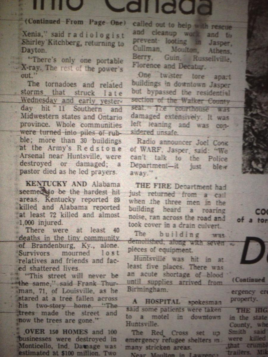
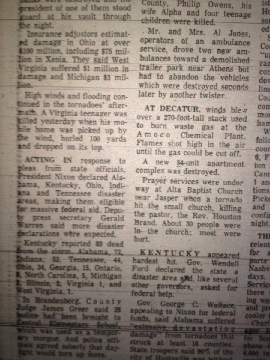
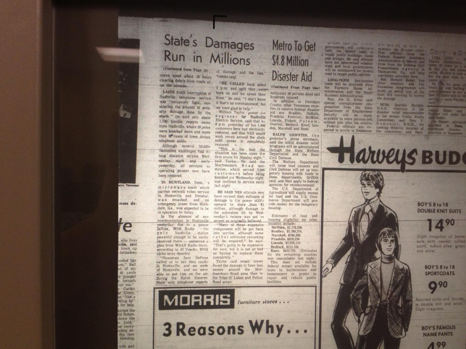
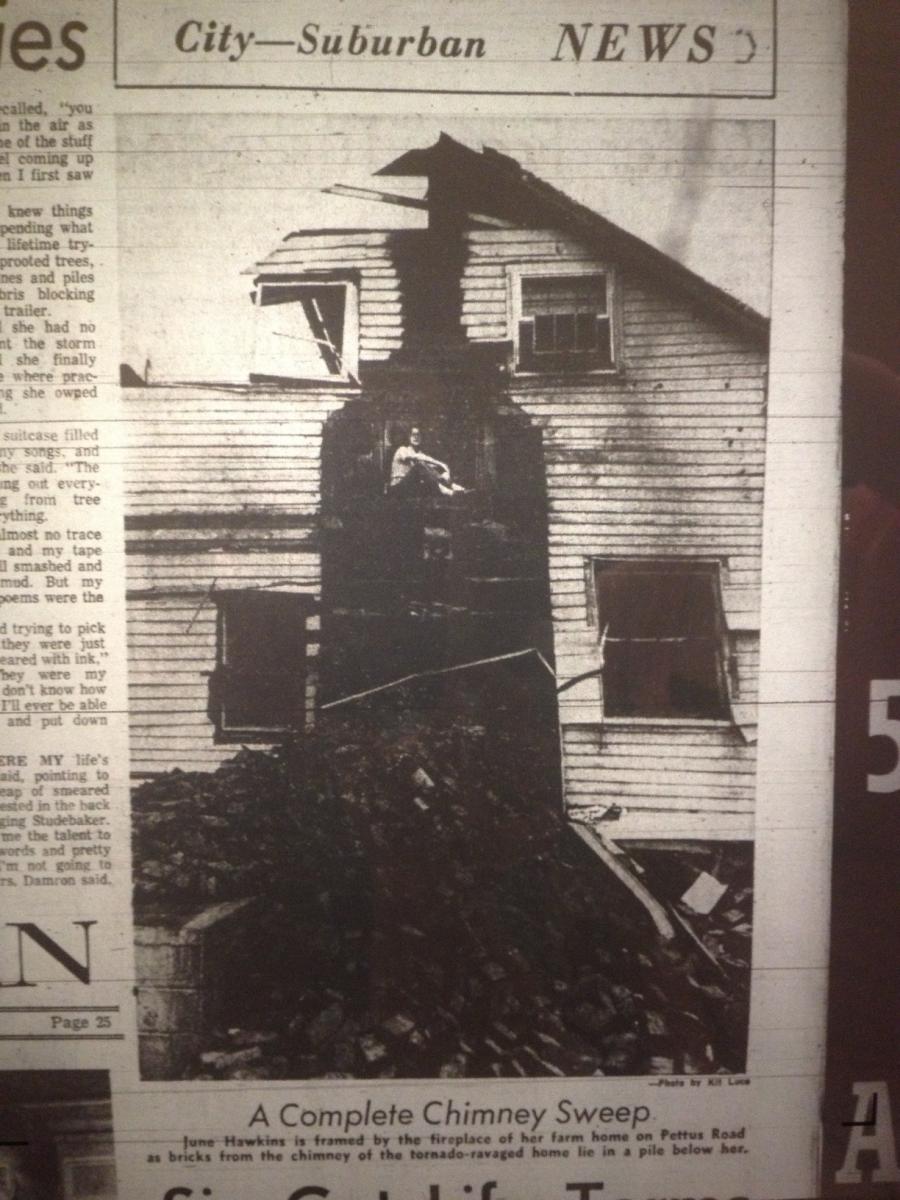
| Newspaper Articles | |||||
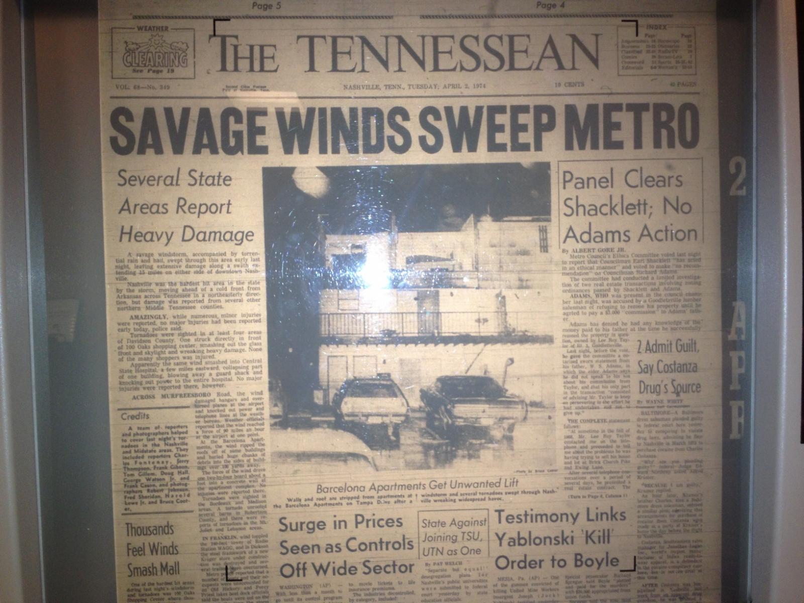
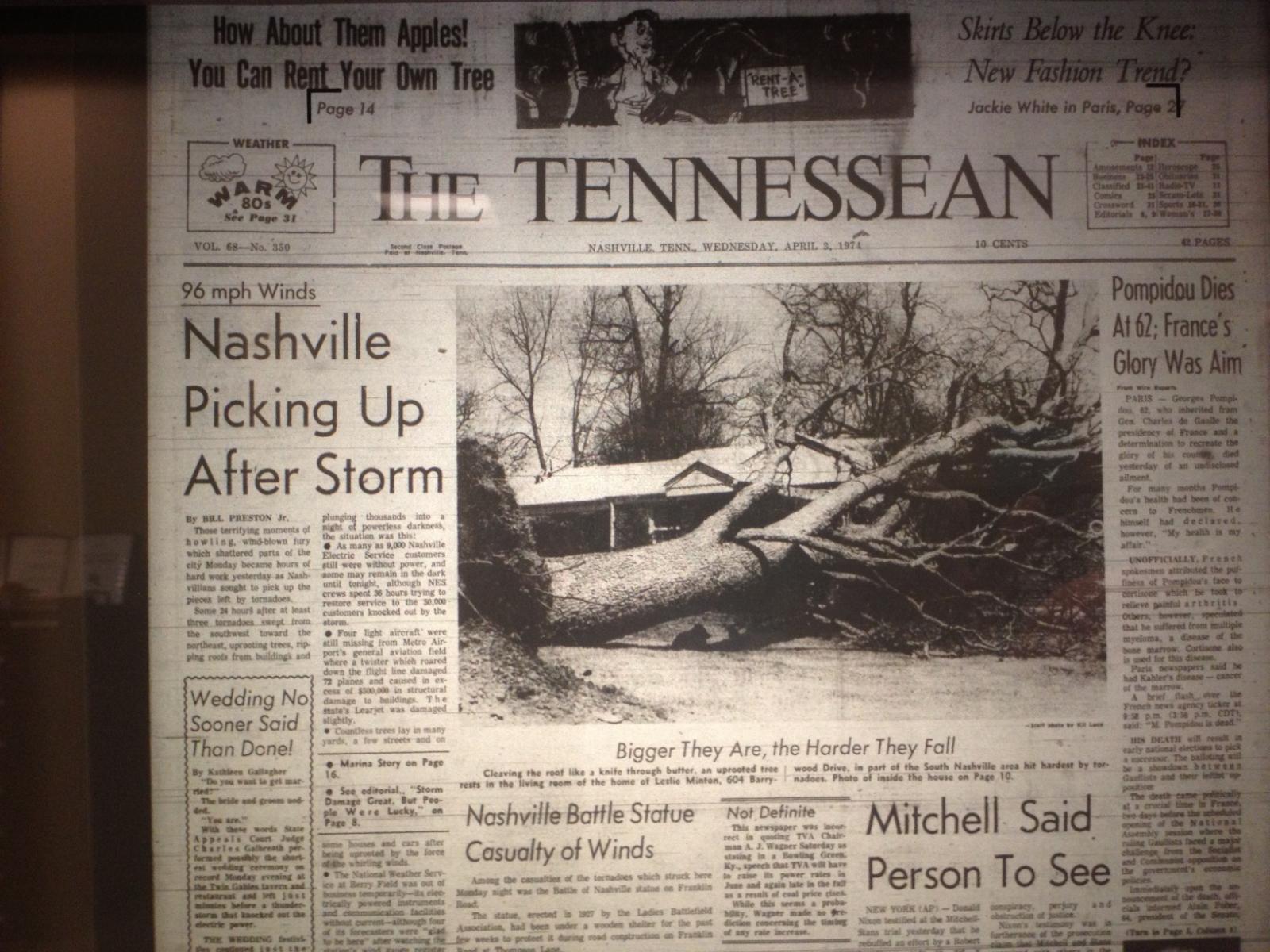
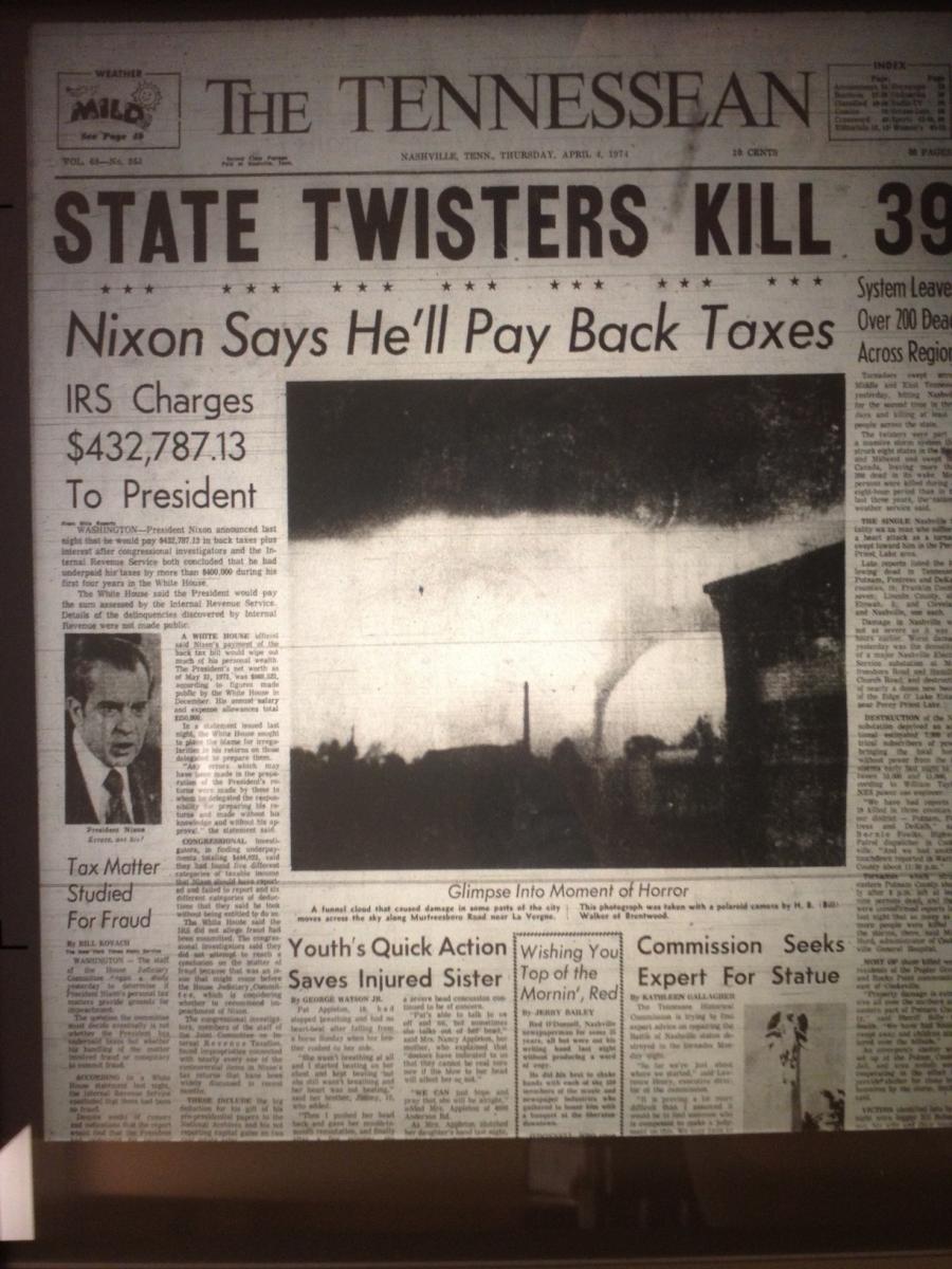
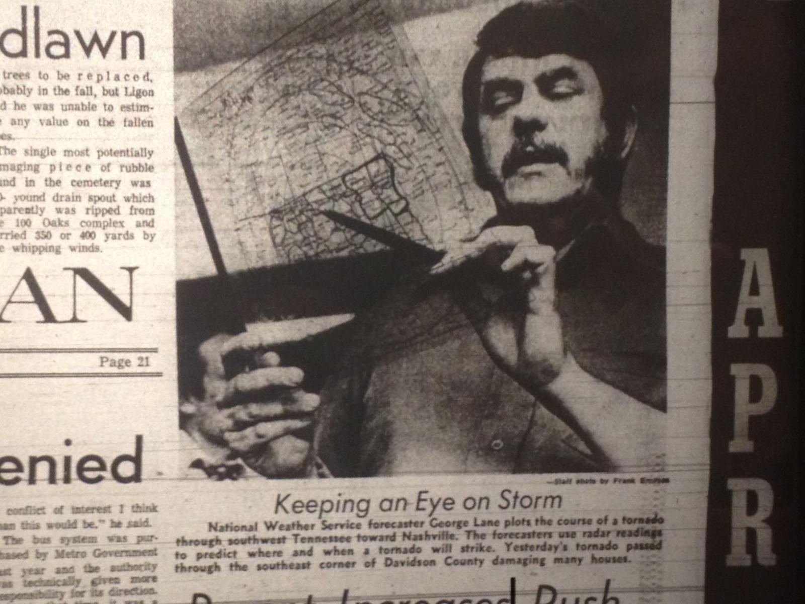
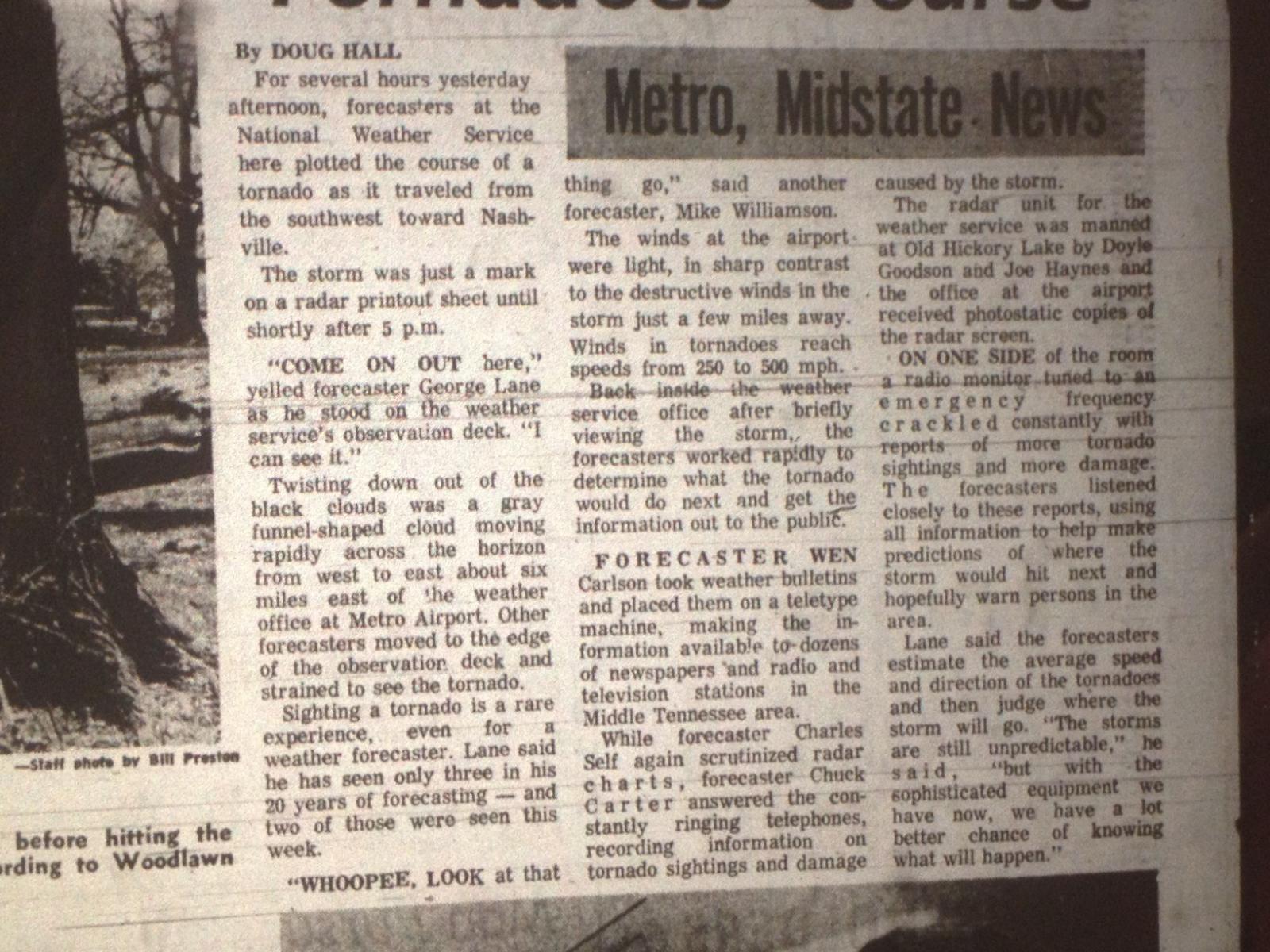
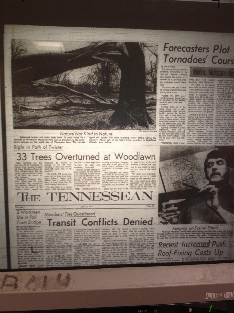
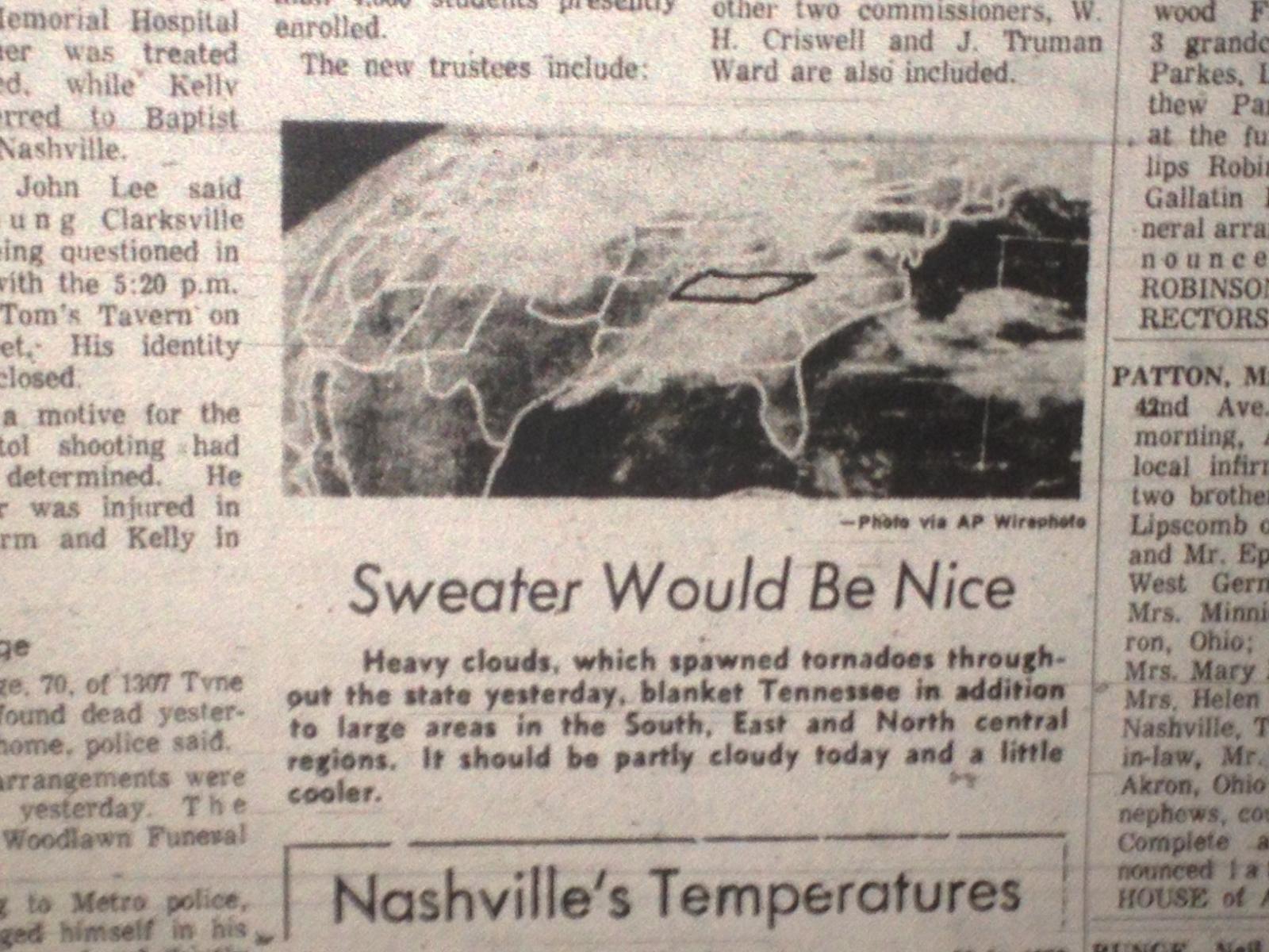
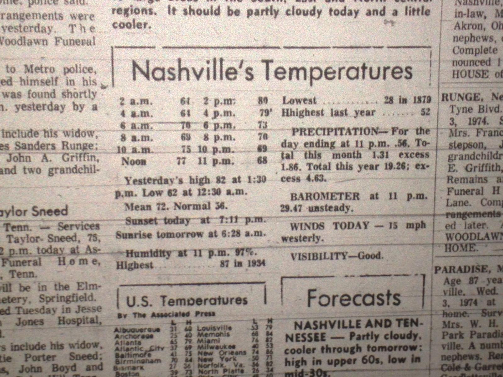
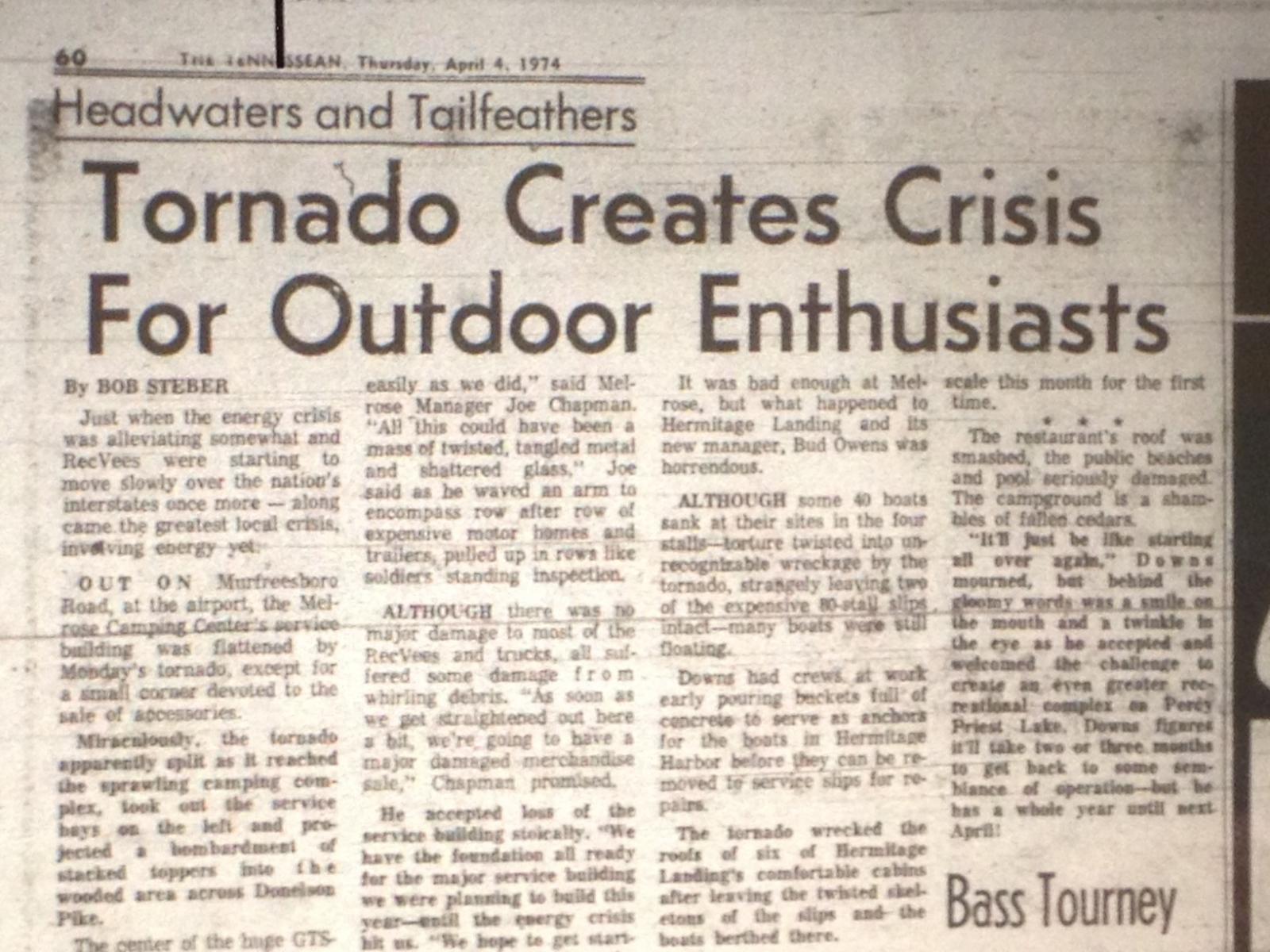
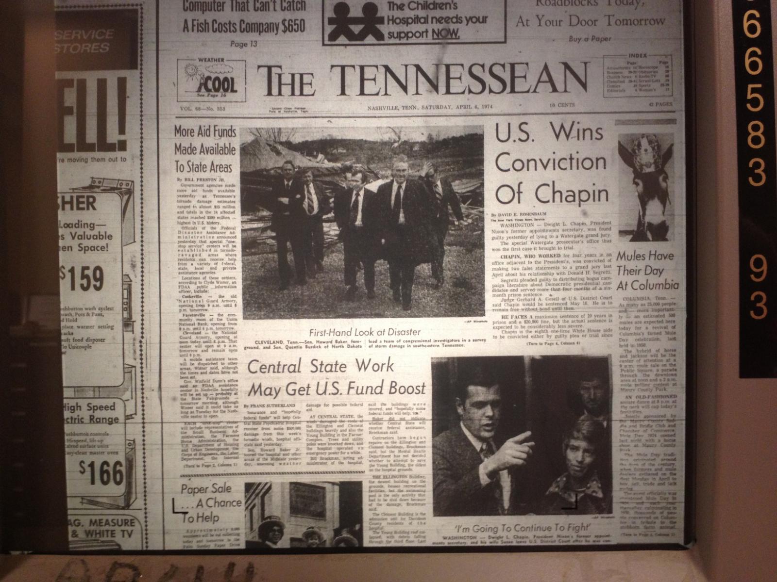
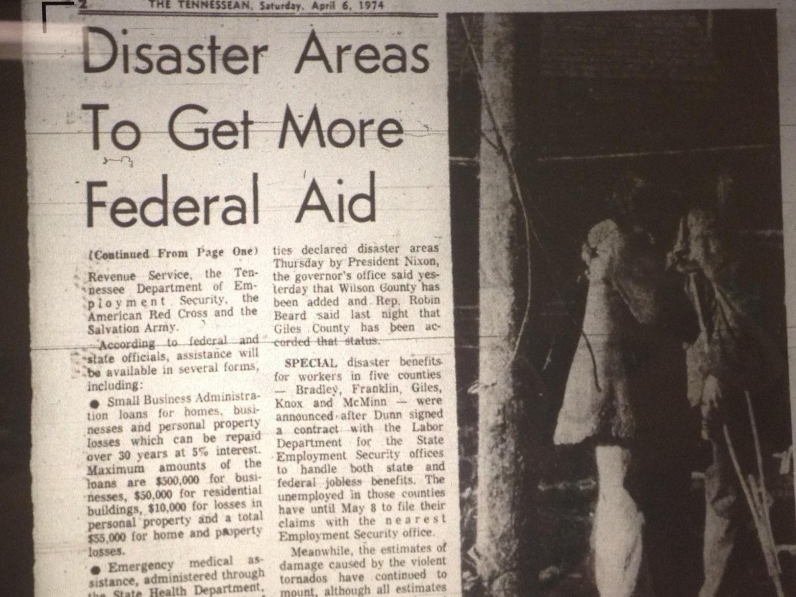
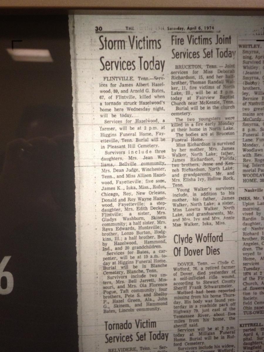
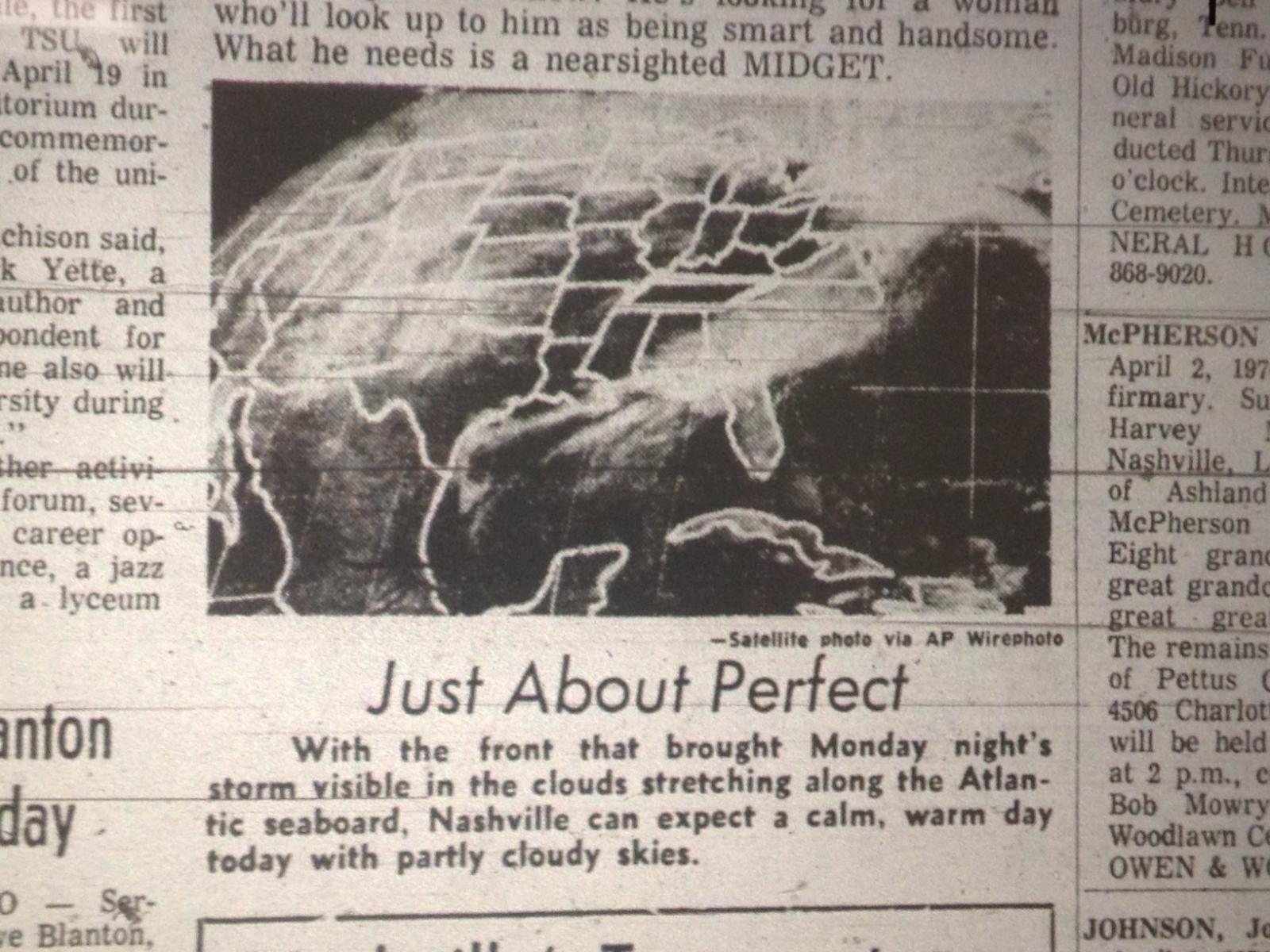
| The Tennessean: April 2-6 1974 | |||||
 |
 |
 |
 |
 |
 |
 |
 |
 |
 |
 |
 |
 |
 |
 |
 |
 |
 |
 |
 |
 |
 |
 |
 |
 |
 |
 |
 |
 |
|
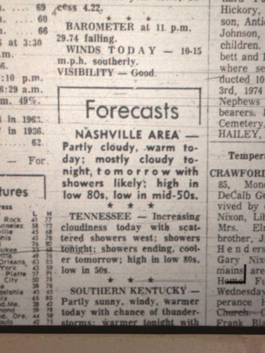
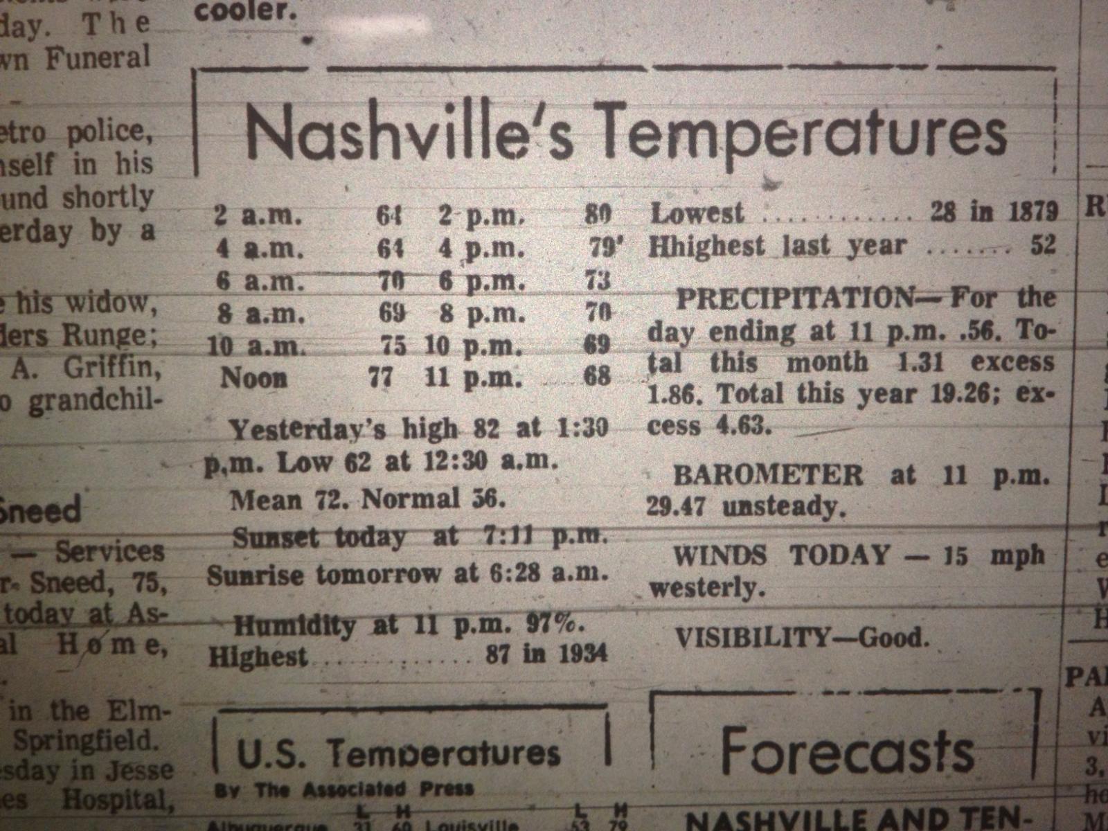
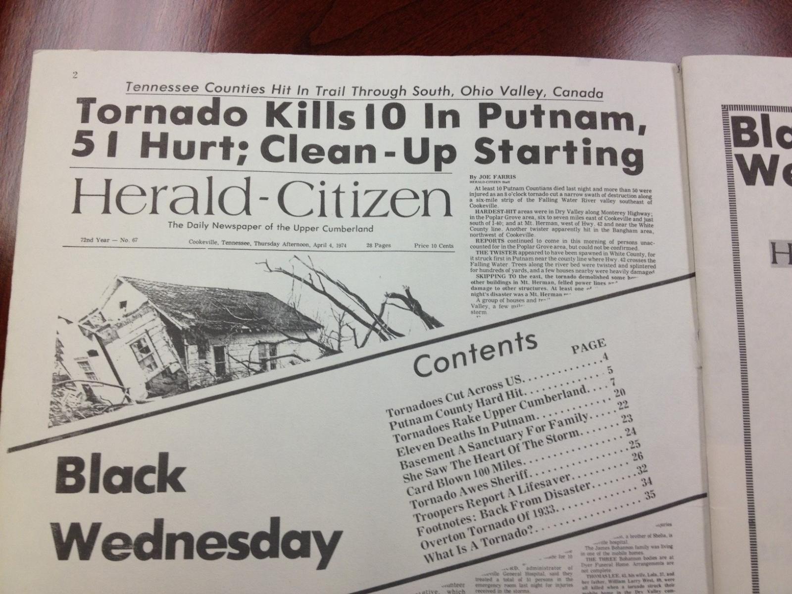
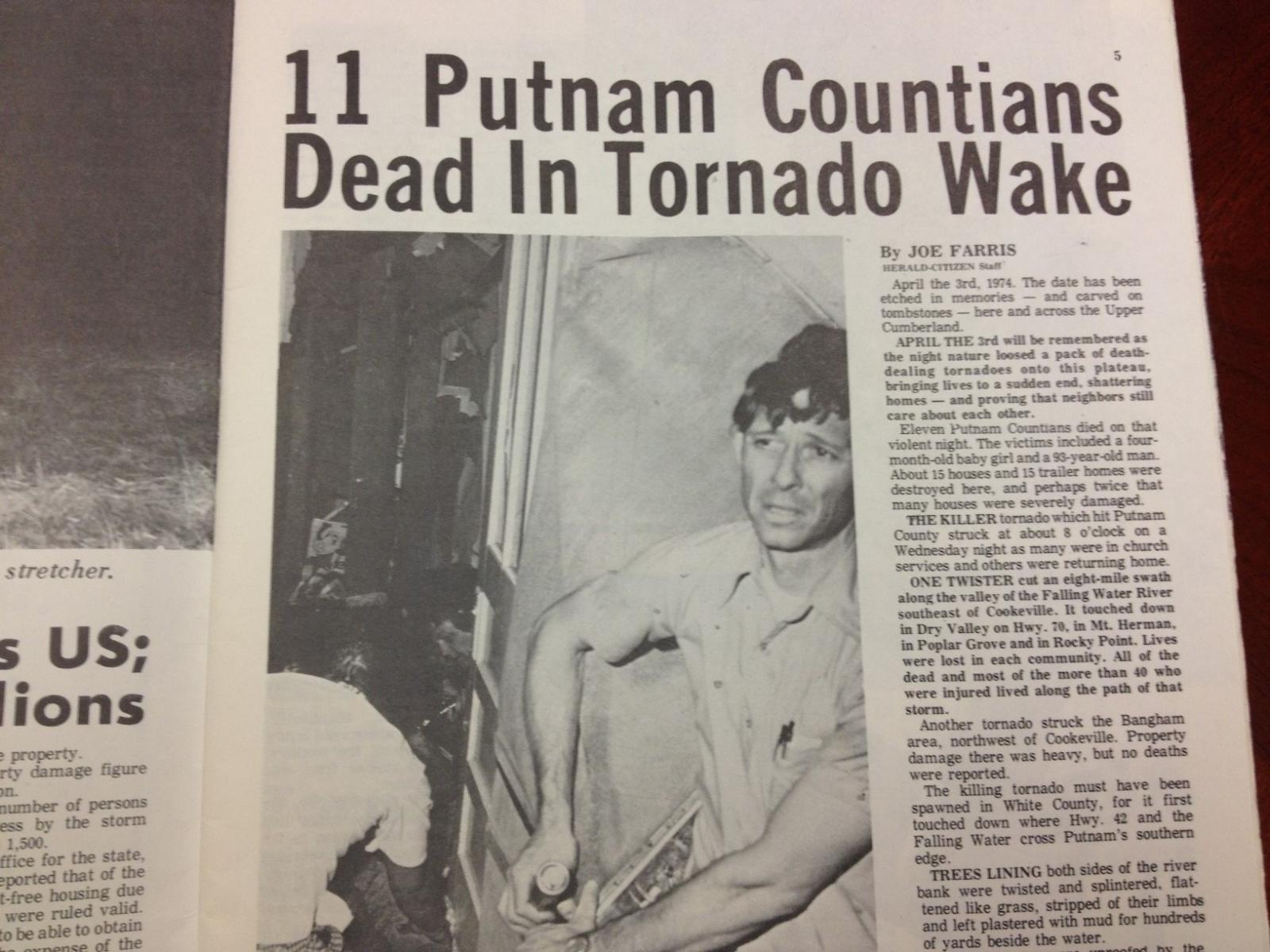
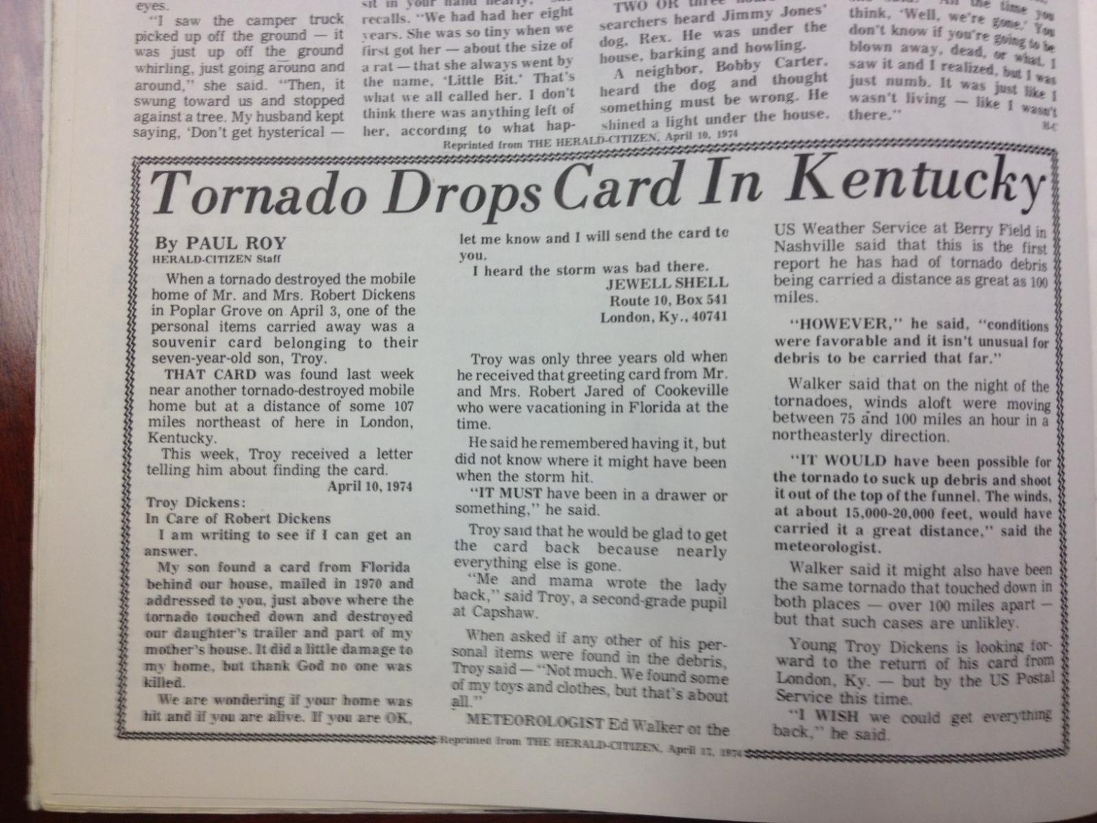
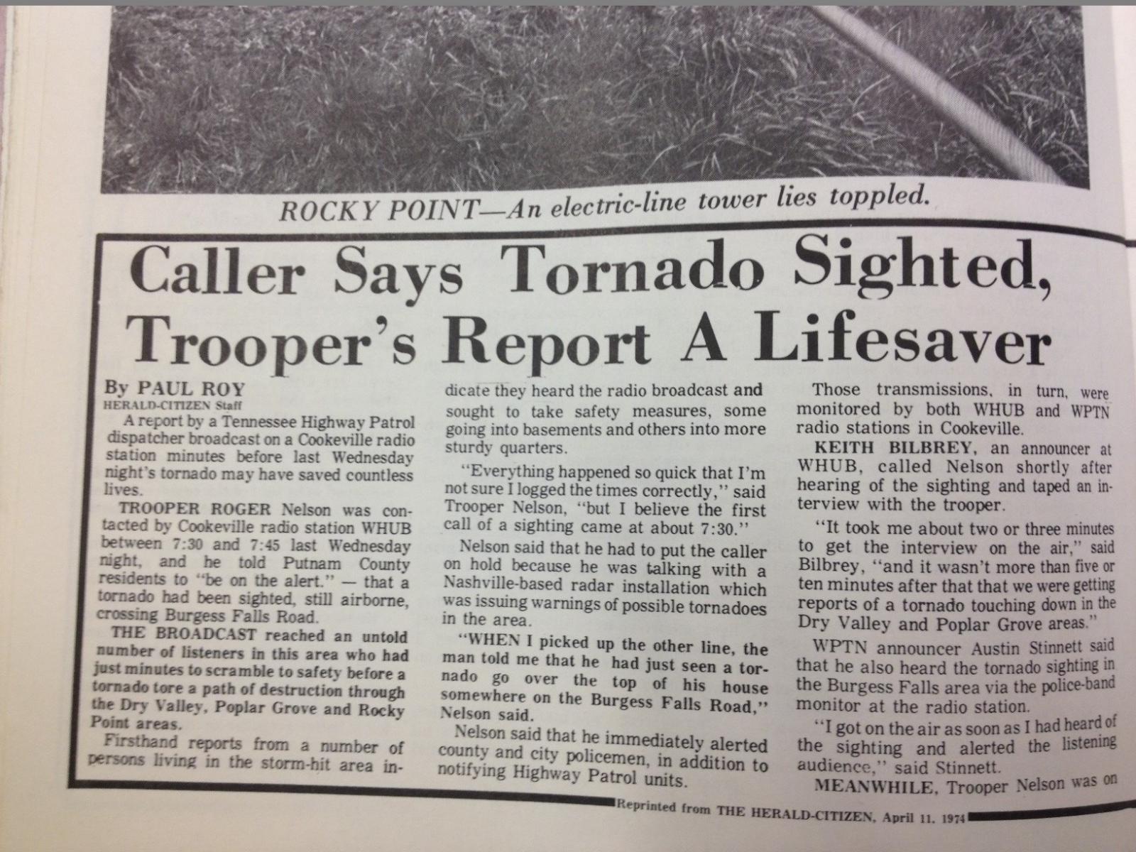
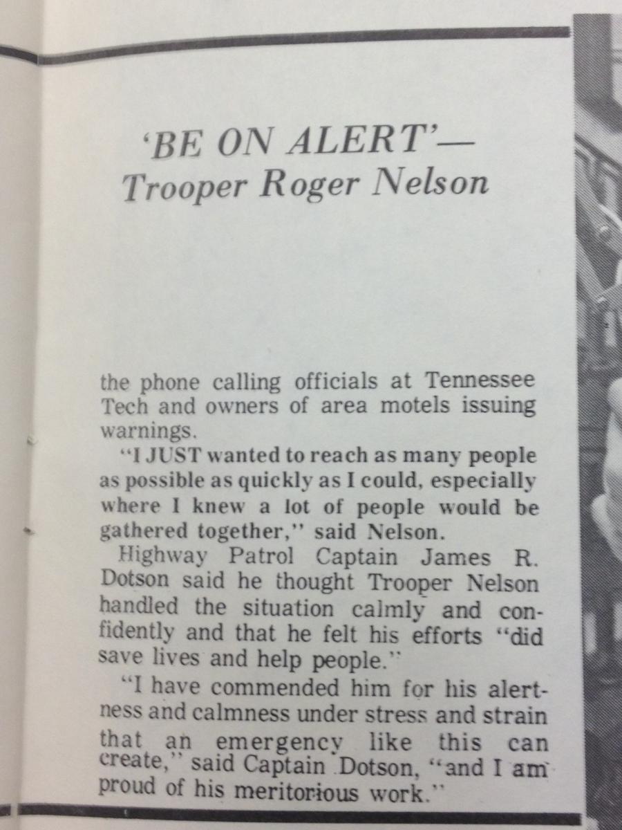
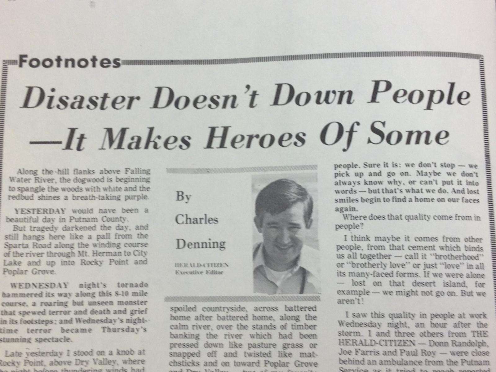
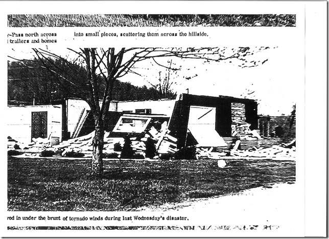
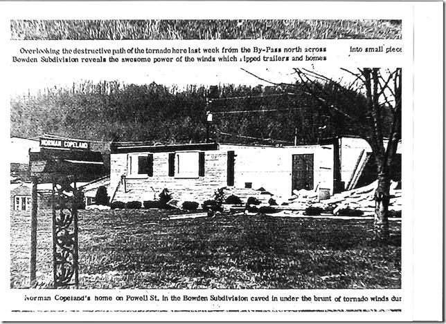
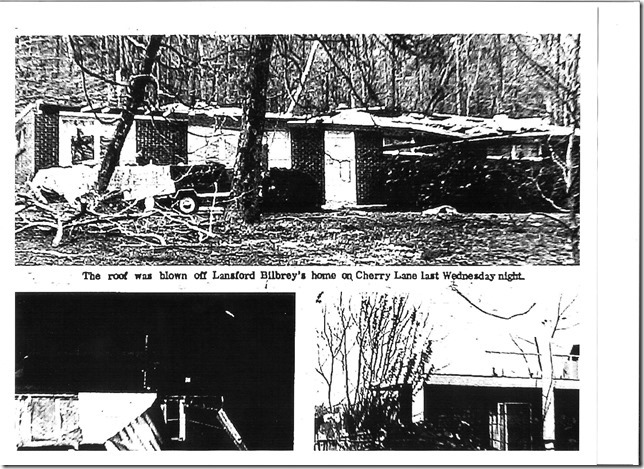
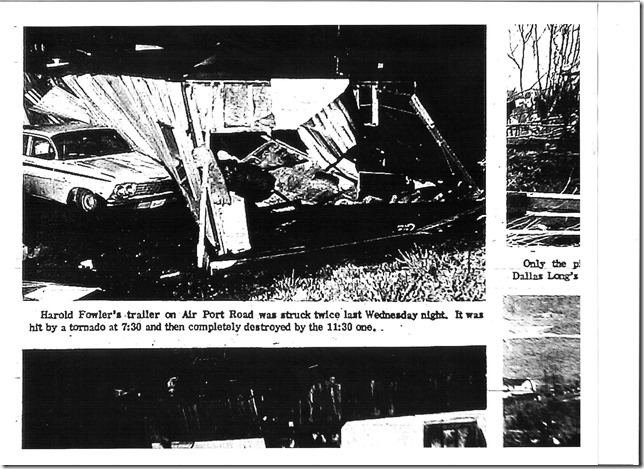
| Putnam Herald-Citizen: April 4-11 1974 | |||||
 |
 |
 |
 |
 |
 |
 |
 |
 |
 |
 |
 |
 |
 |
 |
 |
||
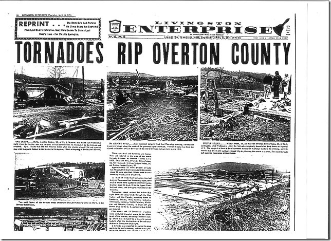
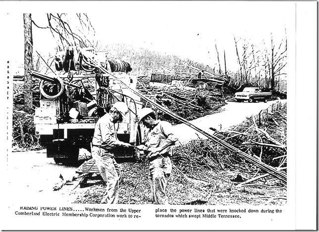
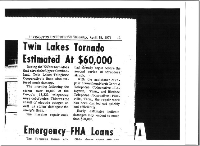
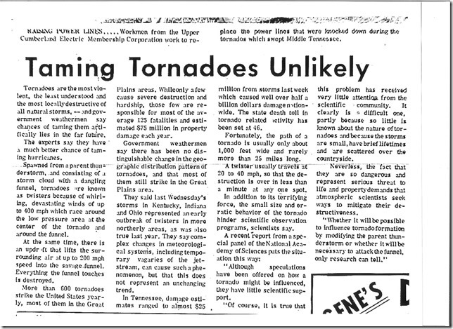
| Livingston Enterprise: April 11-18 1974 (courtesy of Tyler Allen) | |||||
 |
 |
 |
 |
 |
 |
 |
 |
 |
 |
 |
 |
 |
 |
 |
 |
 |
 |
 |
 |
 |
 |
 |
 |
 |
 |
 |
 |
 |
 |
 |
|||||
| Photos & Personal Accounts |
| I Remember: Super Tornado Outbreak April 3, 1974 Facebook Group |
| Jamestown TN F4 Tornado - Lost Jamestown Facebook Group |
| Videos |
| Nolensville TN F2 Tornado by John W Overbey Jr. |

