Nashville, TN
Weather Forecast Office
| April 25-26, 2011 Severe Storms |
| Reports & Outlooks | |||
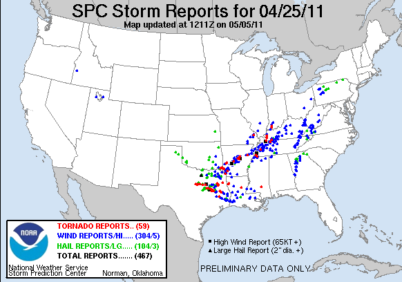
| SPC April 25 Storm Reports | SPC Event Archive | Rainfall Totals April 24-28, 2011 | |
| Original April 25-27, 2011 Webpage | All Local Storm Reports | Public Information Statements | |
| Humphreys County Microburst | |
| Counties: | Humphreys |
| Date: | April 26, 2011 |
| Time: | 12:15 AM CST |
| Winds: | 80-100 mph |
| Damage Path Length: | 7.5 miles |
| Damage Path Width: | Up to 1.5 miles |
| Fatalities: | 0 |
| Injuries | 0 |
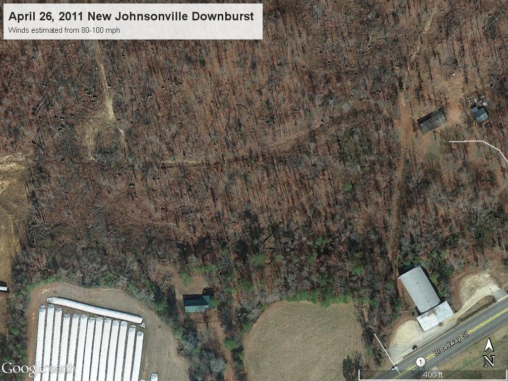
| Damage: SHAMBURGER (2015): Despite a NWS storm survey being conducted for this microburst, it is not included in official NCDC or Storm Data records. The NWS storm survey, along with radar imagery and aerial imagery from Google Earth, indicated this microburst began in Benton County, then crossed the Tennessee River into New Johnsonville before ending around 1.5 miles northeast of the Denver community. Thousands of trees were snapped or uprooted in a general southwest to northeast direction along the south and east sides of New Johnsonville in a swath up to 1.5 miles wide, and several homes received roof damage especially in the Woodlawn Road area. |
|
|
Photos:
|
|

US Dept of Commerce
National Oceanic and Atmospheric Administration
National Weather Service
Nashville, TN
500 Weather Station Road
Old Hickory, TN 37138
615-754-8500
Comments? Questions? Please Contact Us.


 Follow us on X
 Follow us on Facebook
 Follow us on YouTube
 OHX RSS Feed
