
Much higher than typical October temperatures will continue across coastal southern California up through the Bay Area and Central Valley through midweek resulting in result in Major to Extreme HeatRisk. A tropical depression is likely to form over the Gulf of America during the middle part of this week with further strengthening possible as it moves northeastward later this week. Read More >
Nashville, TN
Weather Forecast Office
| Reports & Outlooks | |||
| SPC Outlooks | SPC Storm Reports | SPC Event Archive | |
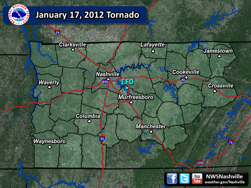
| EF0 Rutherford County Tornado | |
| Counties: | Rutherford |
| Time: | 1:27 PM CST |
| EF Scale: | EF0 |
| Damage Path Length: | 1.69 Miles |
| Damage Path Width: | 125 Yards |
| Fatalities: | 0 |
| Injuries: | 0 |
| Damage: Initial damage was noted at the Lamar Hill Access Area to Percy Priest Lake where dozens of mainly cedar trees were snapped or uprooted. The top of one cedar tree was broken off and thrown northwest into the lake. A nearly continuous 1.69 mile damage path was then noted heading to the east northeast. The most significant damage was along North Lamar Road near Victory Road. Several homes suffered moderate roof damage, a camper was blown on its side, and dozens more trees were snapped or uprooted. The last evidence of damage was near the intersection of North Lamar Road and Lamar Hill Road where a couple trees were snapped. |
|
|
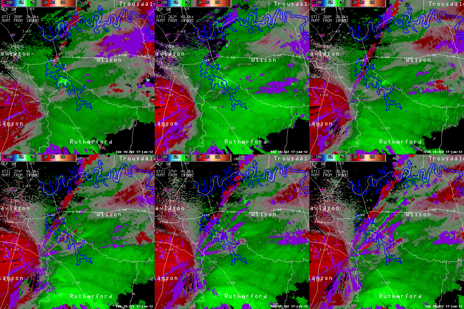
TBNA Radar Loop:
|
|

US Dept of Commerce
National Oceanic and Atmospheric Administration
National Weather Service
Nashville, TN
500 Weather Station Road
Old Hickory, TN 37138
615-754-8500
Comments? Questions? Please Contact Us.


 Follow us on X
 Follow us on Facebook
 Follow us on YouTube
 OHX RSS Feed