| Overview | |
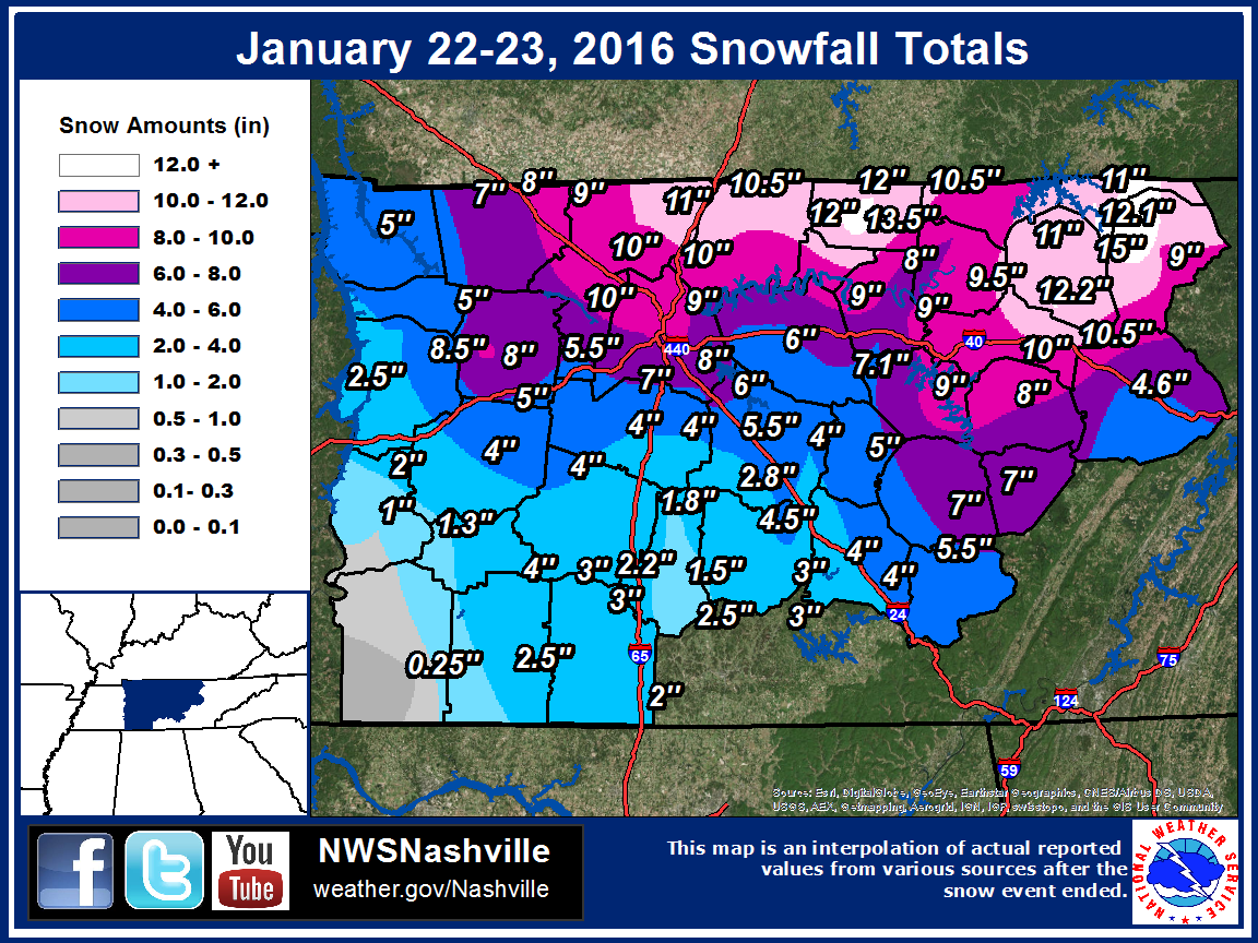
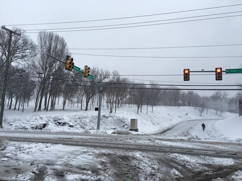
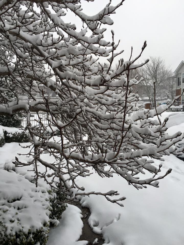
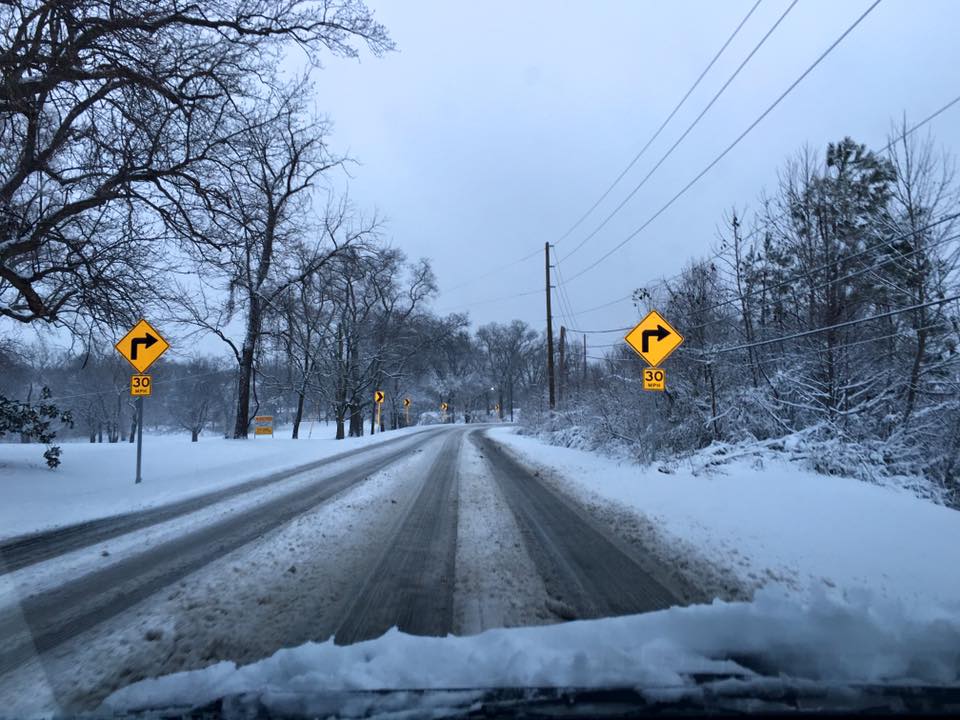
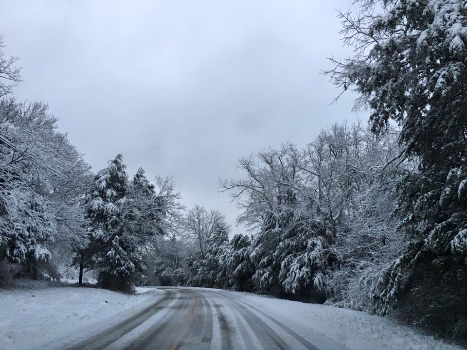
| A powerful upper level low pressure system moved across the Tennessee Valley on Friday, January 22, 2016. Light to moderate rain developed ahead of this system and spread across Middle Tennessee late in the day on Thursday, January 21. Temperatures below freezing north of I-40 lead to this rain falling as freezing rain, with ice accumulations up to 1/4" in the counties near the Kentucky border leading to numerous vehicle accidents and road closures. As the upper low approached and moved directly over Middle Tennessee during the morning on January 22, the rain and freezing rain began mixing with sleet and eventually changed to all snow from northwest to southeast across the region. Snow was heavy at times in many areas along and north of I-40, falling at up to 2 inches per hour at times during the morning and afternoon on January 22. Snow gradually ended from west to east across Middle Tennessee from the evening hours into Saturday, January 23, although light snow and flurries affected many areas even into the late evening on January 23. When all was said and done, snow had fallen across every county in Middle Tennessee, with a large range of snowfall totals from just a trace in southwest Wayne County up to an unofficial 15 inches in parts of Fentress County. In addition, much of the Nashville metro area received anywhere from 5 to 10 inches of snow, with 8 inches officially falling at the Nashville International Airport and 7.1 inches at the NWS Nashville office. The snow total of 8 inches at Nashville International Airport set a daily highest snowfall record for January 22. This also made the January 22-23, 2016 snowstorm the largest snowfall in Nashville in 28 years. Many other locations received their highest snow totals since the February 3-4, 1998 snow nearly 20 years prior. |
| Reports | |
| Local Storm Reports | Public Information Statement |
| NOHRSC Interpolated Snowfall Map | SPC Event Archive |
| Top 10 January Snowfalls in Nashville | ||
| Rank | Snow Total | Date |
| 1 | 8.5" | January 29, 1905 |
| 2 | 8.2" | January 6-7, 1988 |
| 3 | 8.0" | January 22-23, 2016 |
| 4 | 7.7" | January 18-19, 1936 |
| 5 | 7.7" | January 21-22, 1888 |
| 6 | 7.5" | January 21-22, 1966 |
| 7 | 7.5" | January 16-17, 1948 |
| 8 | 7.4" | January 5-6, 1960 |
| 9 | 7.1" | January 11-12, 1918 |
| 10 | 7.0" | January 16, 2003 |
| Top 20 All-Time Snowfalls in Nashville | ||
| Rank | Snow Total | Date |
| 1 | 17.2" | March 17-18, 1892 |
| 2 | 16.3" | February 2-3, 1886 |
| 3 | 15.0" | February 19-20, 1929 |
| 4 | 10.2" | December 31, 1963-January 1, 1964 |
| 5 | 10.2" | January 31-February 1, 1951 |
| 6 | 10.0" | February 25-26, 1894 |
| 7 | 9.2" | November 23-24, 1950 |
| 8 | 9.0" | February 13-14, 1902 |
| 9 | 8.8" | February 11-12, 1910 |
| 10 | 8.5" | January 29, 1905 |
| 11 | 8.5" | March 22-23, 1968 |
| 12 | 8.3" | February 6-7, 1979 |
| 13 | 8.2" | January 6-7, 1988 |
| 14 | 8.0" | January 22-23, 2016 |
| 15 | 8.0" | March 4-5, 1917 |
| 16 | 7.7" | January 18-19, 1936 |
| 17 | 7.7" | January 21-22, 1888 |
| 18 | 7.5" | January 21-22, 1966 |
| 19 | 7.5" | January 16-17, 1948 |
| 20 | 7.5" | February 11-12, 1895 |
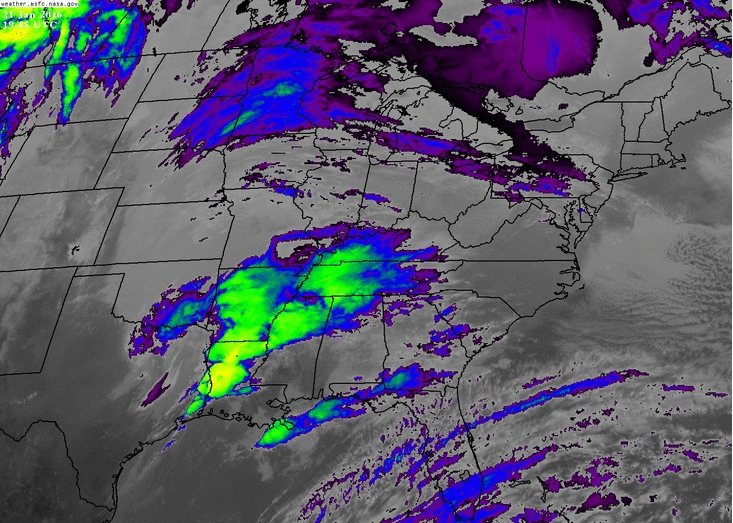
| Radar & Satellite Imagery | |
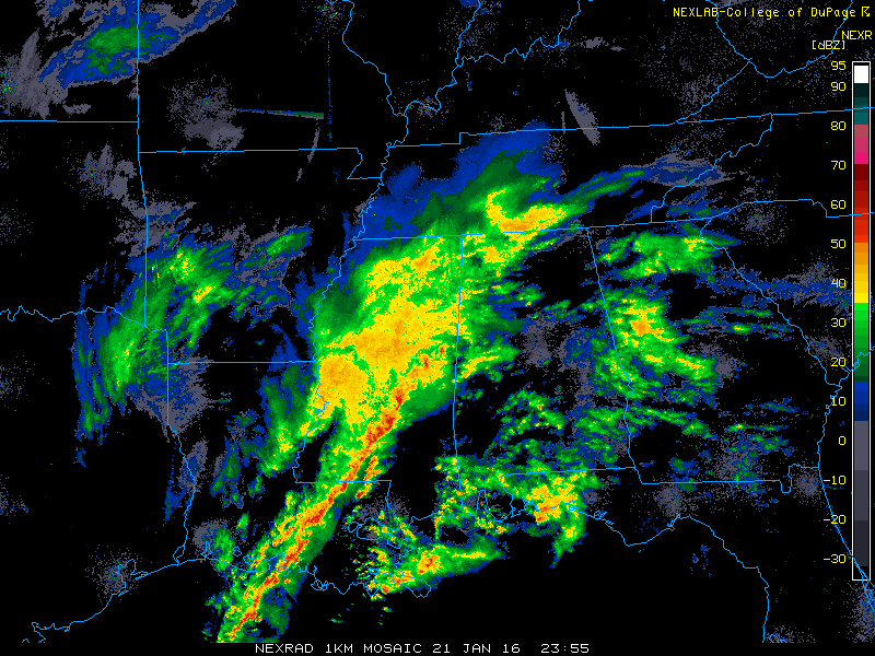 Radar Loop courtesy of College of Dupage & UCAR |
|
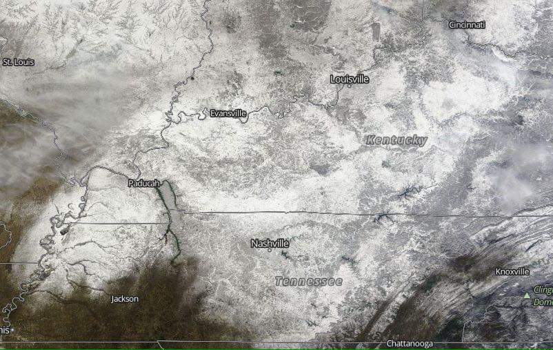 Snow Cover from Satellite Imagery |
|
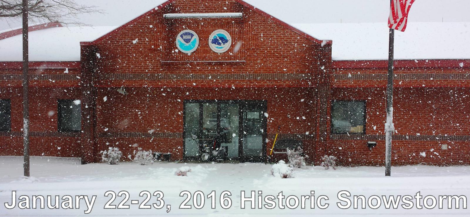
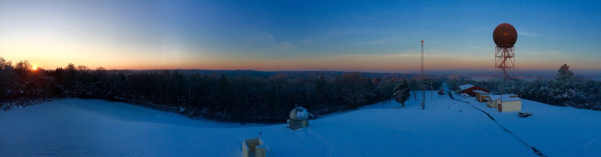
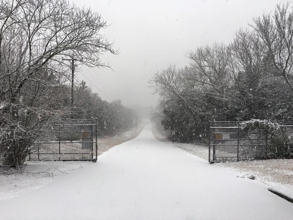
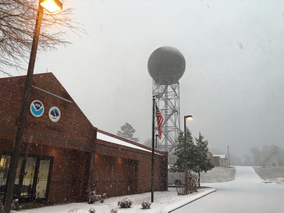
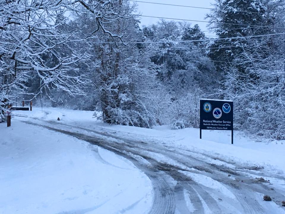
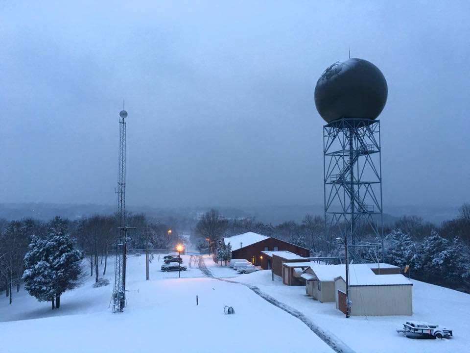
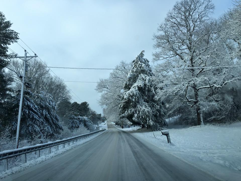
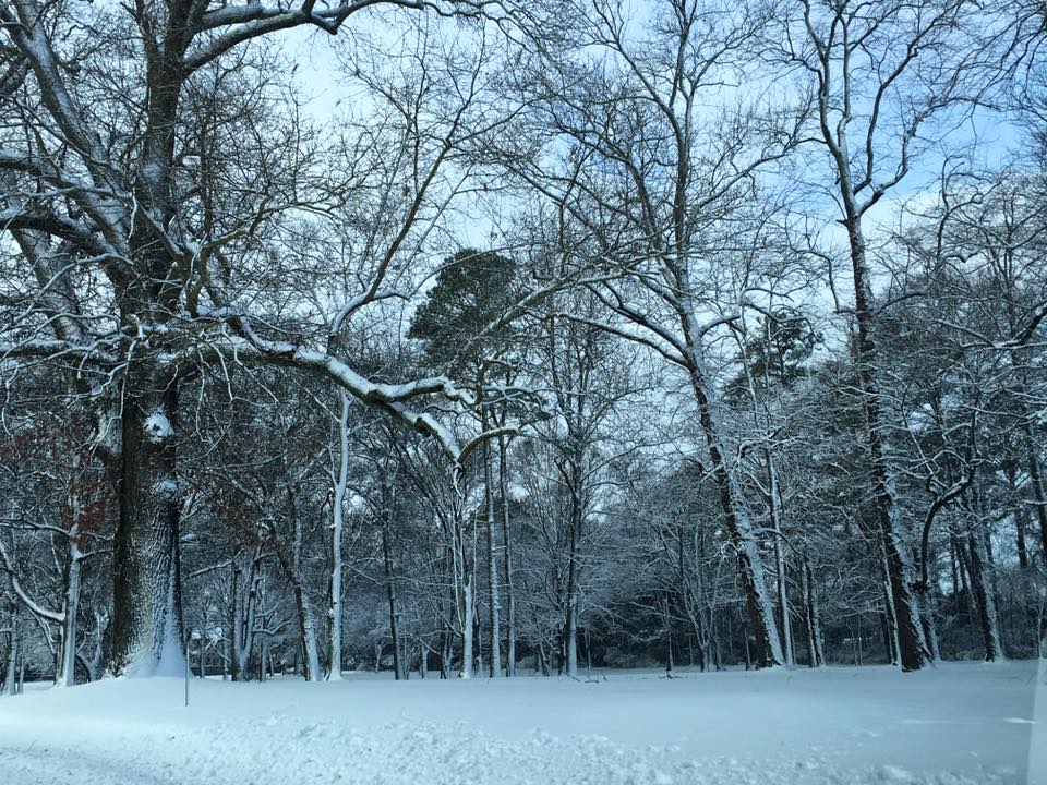
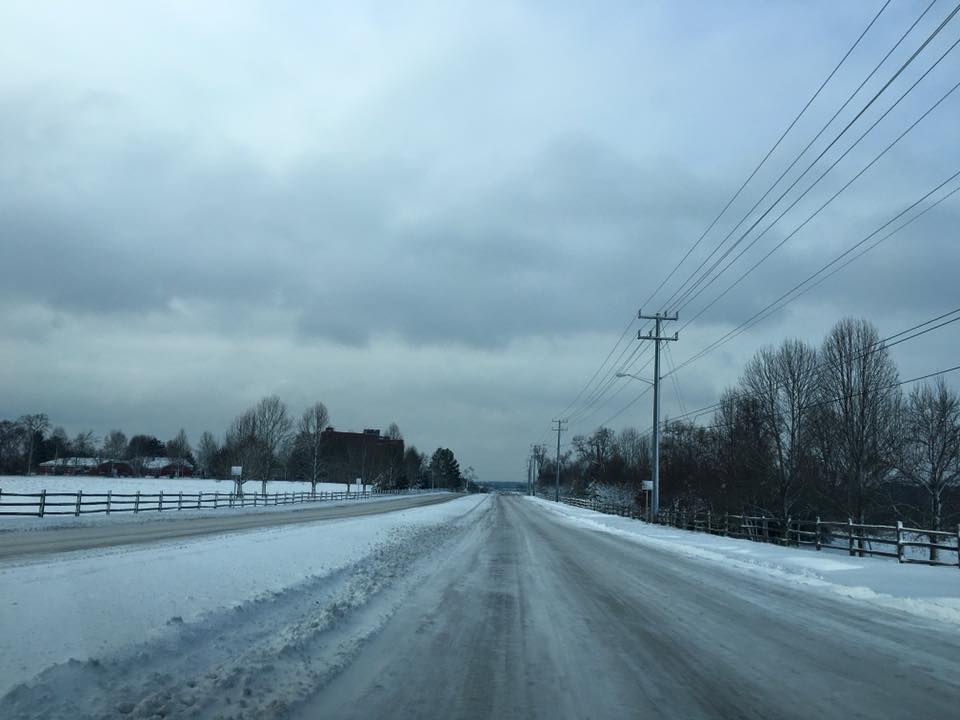
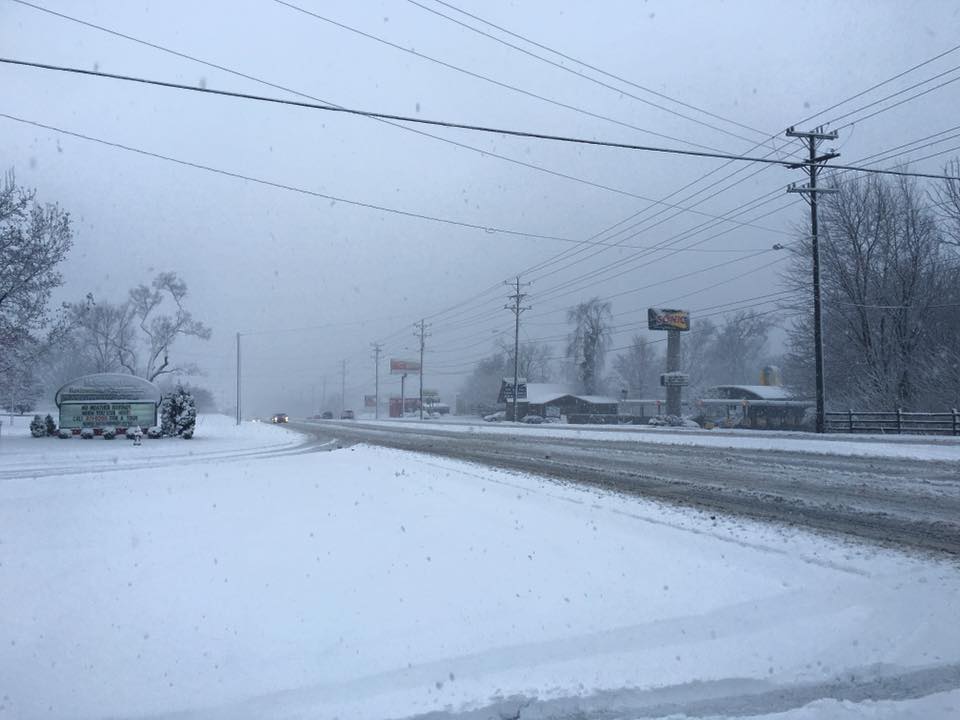
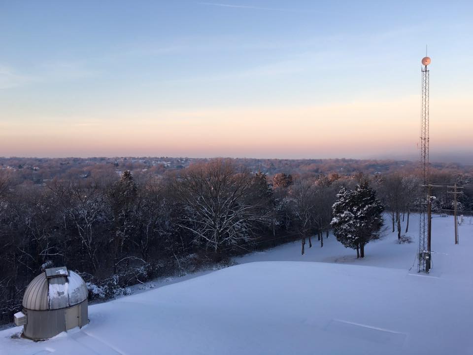
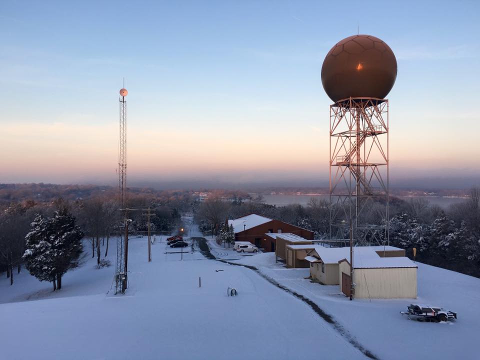
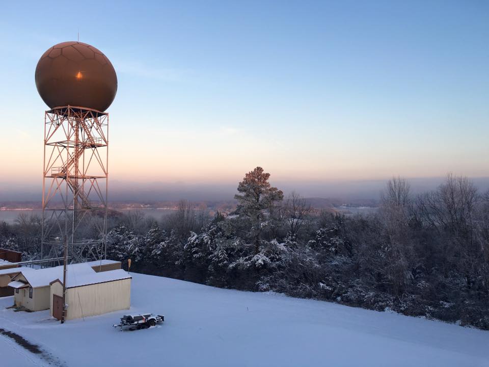
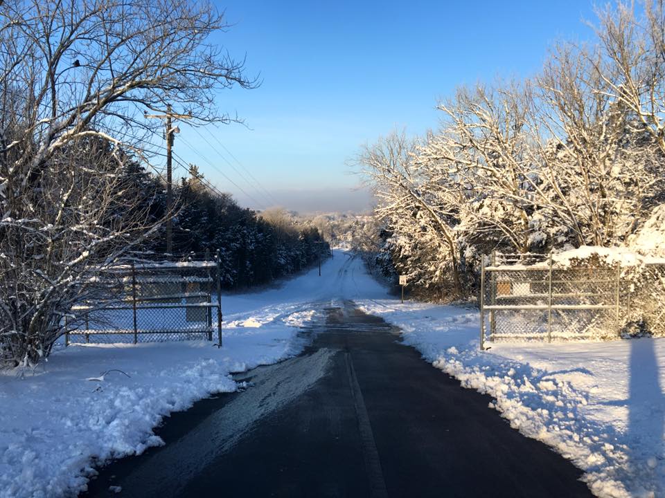
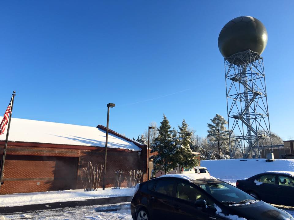
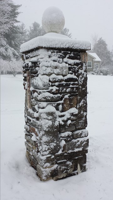
| Photos by NWS Nashville | |||||
 |
|||||
 |
 |
 |
 |
 |
 |
 |
 |
 |
 |
 |
 |
 |
 |
 |
 |
 |
 |
 |
 |
 |
 |
 |
 |
 |
 |
 |
 |
 |
 |