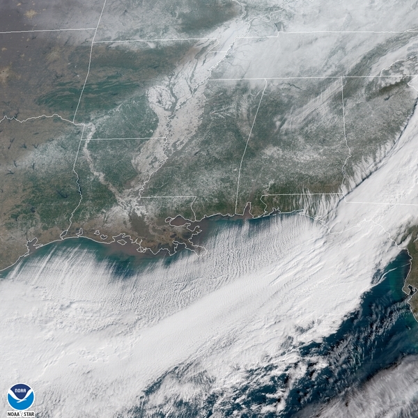
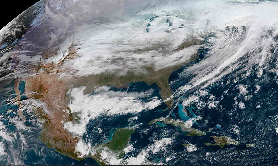
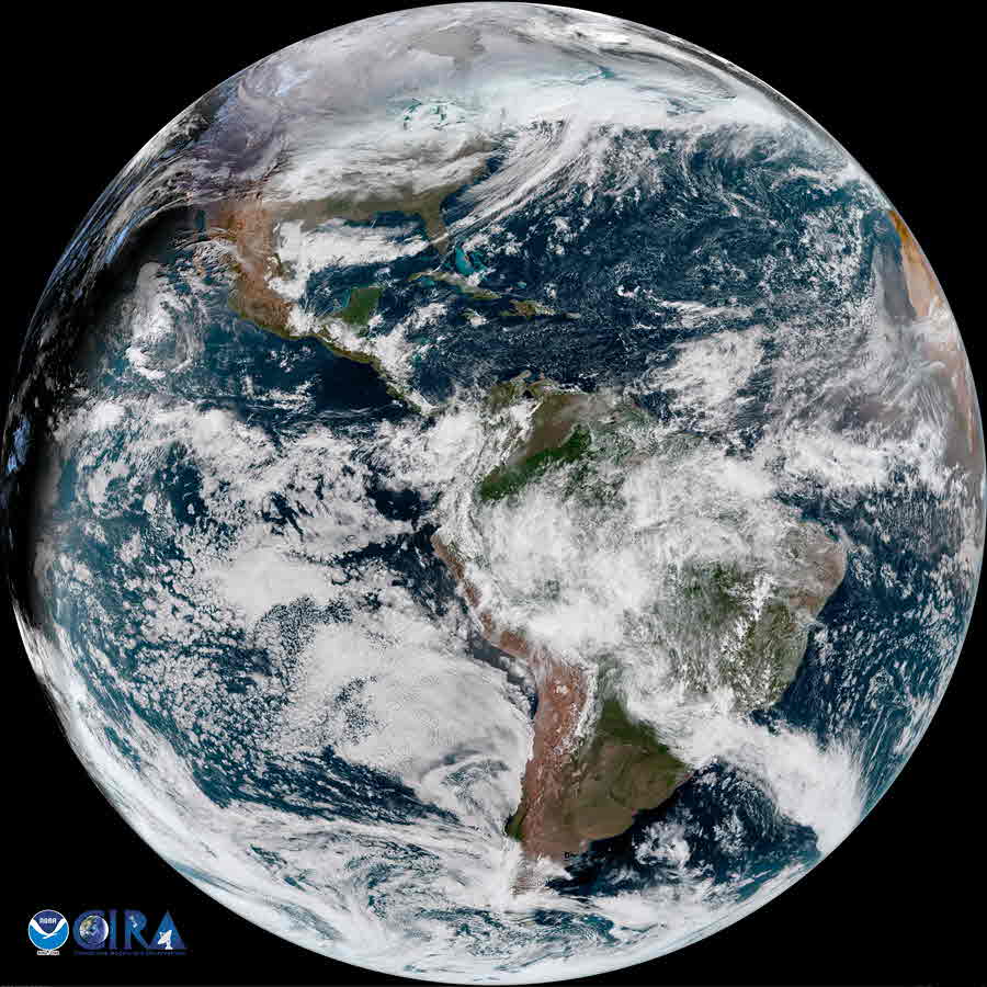
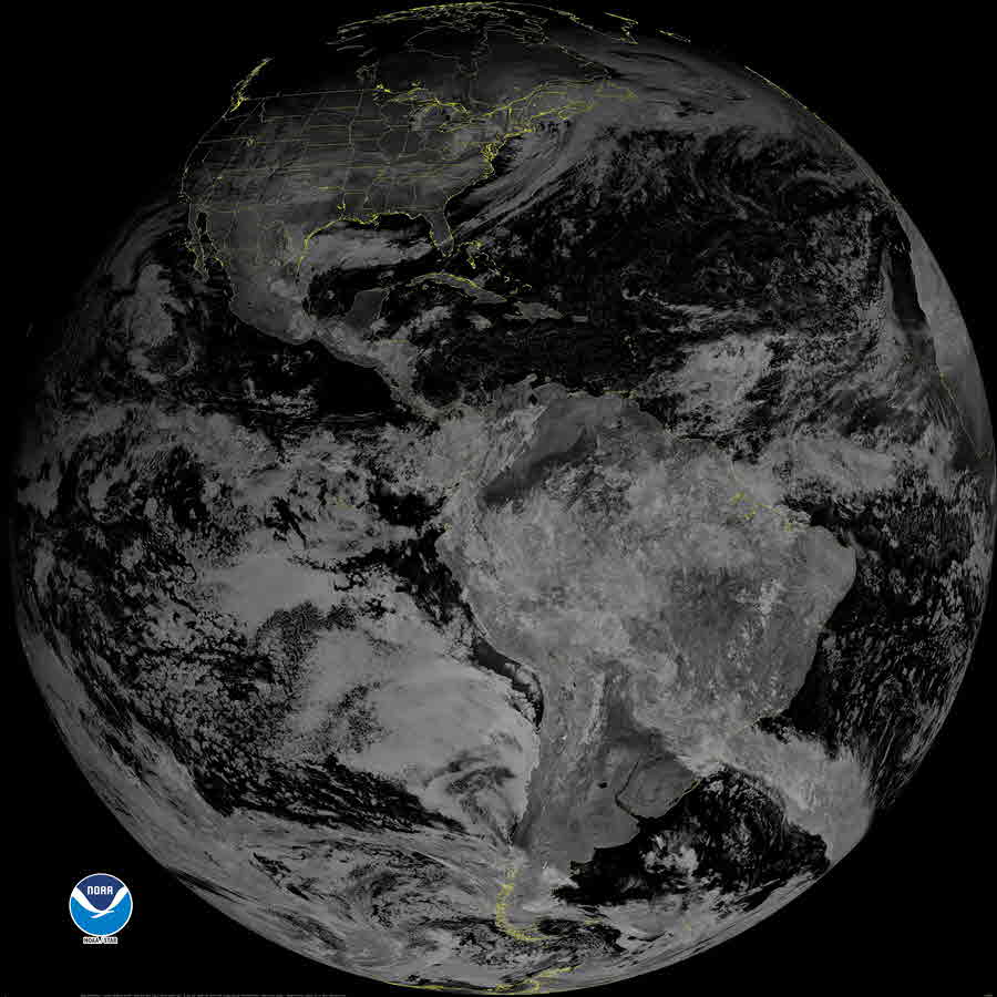
| GeoColor Channel |
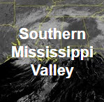
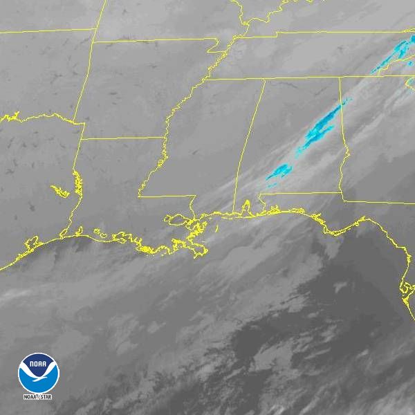
Southern Mississippi Valley View |
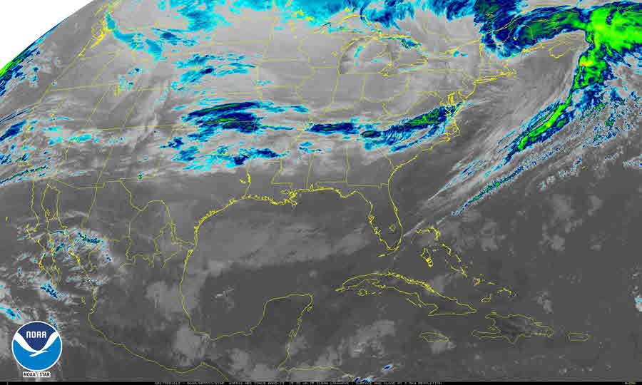
CONUS View |
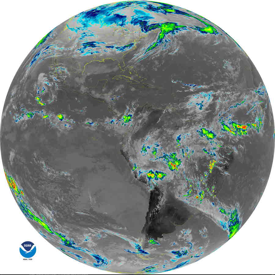
Full Disk View |
 |
 |
 |
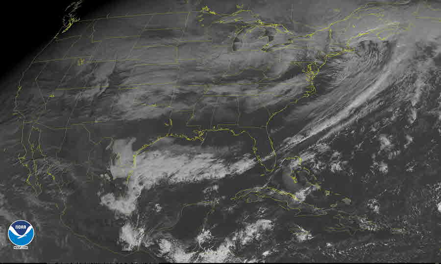
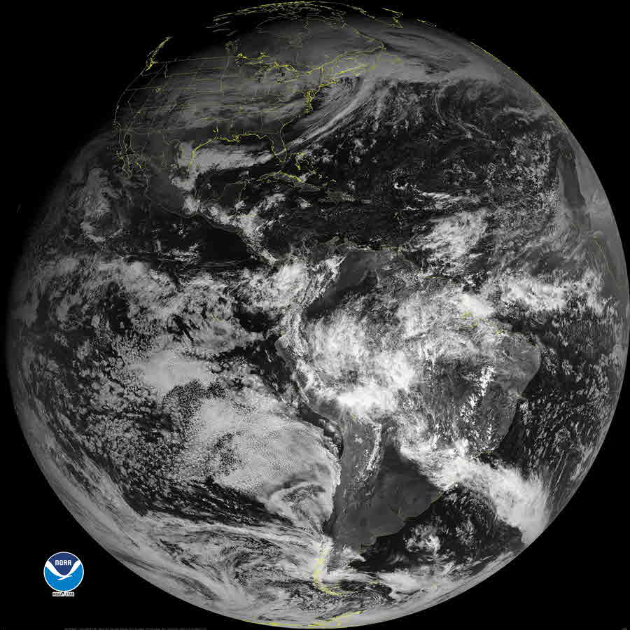
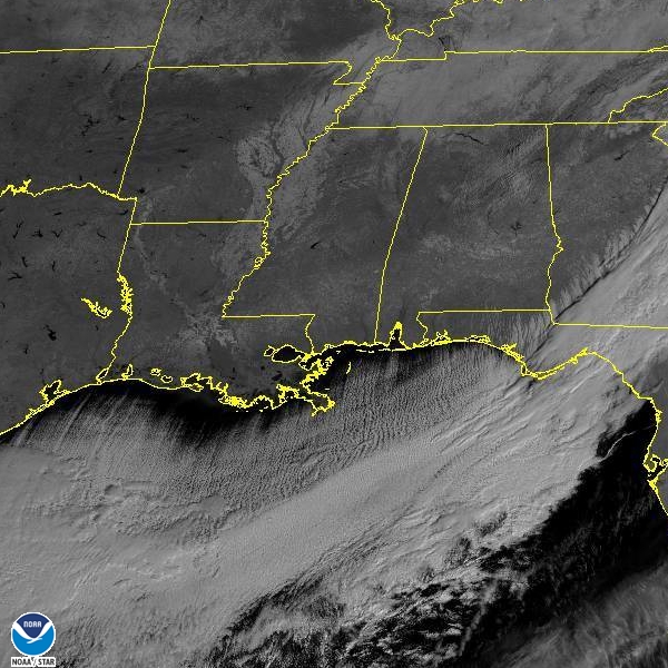
| GeoColor |
Loop |
Loop |
Loop |
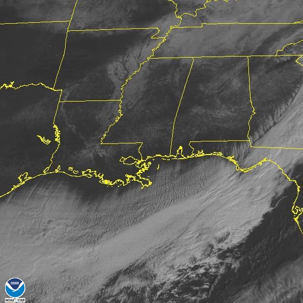
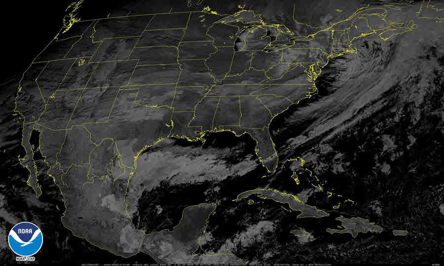
| Visible Channels |
Southern Mississippi Valley View |
CONUS View |
Full Disk View |
 |
 |
 |
| Visible Blue 0.47 μm (Band 1) |
Loop |
Loop |
Loop |
| Visible Red 0.64 μm (Band 2) |
Loop |
Loop |
Loop |
| Near Infrared (NIR) Channels |
Southern Mississippi Valley View |
CONUS View |
Full Disk View |
 |
 |
 |
| Veggie NIR Channel 0.86 μm (Band 3) |
Loop |
Loop |
Loop |
| Cirrus NIR Channel 1.37 μm (Band 4) |
Loop |
Loop |
Loop |
| Snow/Ice NIR Channel 1.6 μm (Band 5) |
Loop |
Loop |
Loop |
| Cloud Particle NIR Channel 2.2 μm (Band 6) |
Loop |
Loop |
Loop |
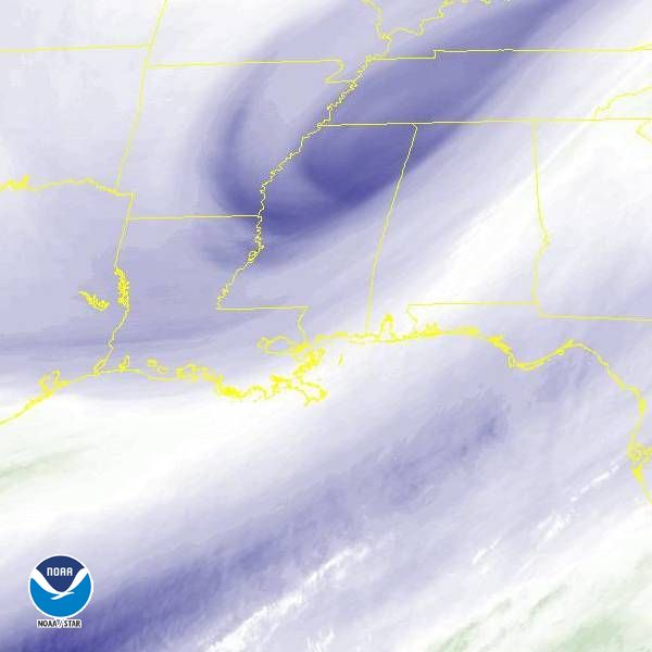
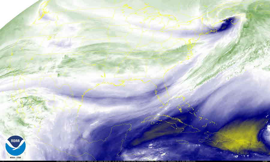
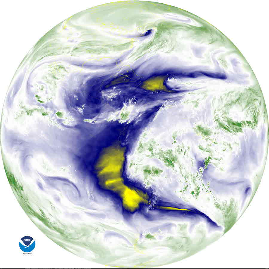
| Shortwave IR and Water Vapor Channels |
Southern Mississippi Valley View |
CONUS View |
Full Disk View |
 |
 |
 |
| Shortwave IR Channel 3.9 μm (Band 7) |
Loop |
Loop |
Loop |
| Upper Level Water Vapor Channel 6.2 μm (Band 8) |
Loop |
Loop |
Loop |
| Mid Level Water Vapor Channel 6.9 μm (Band 9) |
Loop |
Loop |
Loop |
| Lower Level Water Vapor Channel 7.3 μm (Band 10) |
Loop |
Loop |
Loop |
| Infrared (IR) Channels |
Southern Mississippi Valley View |
CONUS View |
Full Disk View |
 |
 |
 |
| Cloud Top IR Channel 8.4 μm (Band 11) |
Loop |
Loop |
Loop |
| Ozone IR Channel 9.6 μm (Band 12) |
Loop |
Loop |
Loop |
| Clean Longwave Window 10.3 μm (Band 13) |
Loop |
Loop |
Loop |
| Legacy Longwave Window 11.2 μm (Band 14) |
Loop |
Loop |
Loop |
| Dirty Longwave IR Window 12.3 μm (Band 15) |
Loop |
Loop |
Loop |
| Carbon Dioxide Longwave IR Window 13.3 μm (Band 16) |
Loop |
Loop |
Loop |