Frostbite occurs when your body tissue freezes. The most susceptible parts of the body are fingers, toes, ear lobes, and the tip of the nose. Symptoms include a loss of feeling in the extremity and a white or pale appearance. Get medical attention immediately for frostbite. The area should be SLOWLY rewarmed using warm, not hot, water.
Hypothermia occurs when your body temperature falls below 95°F. Determine your temperature with a thermometer.
Warning signs include uncontrollable shivering, memory loss, disorientation, incoherence, slurred speech, drowsiness and exhaustion.
Get medical attention immediately. If you can't get help quickly, begin warming the body SLOWLY. Warm the body core first, NOT the extremities. Warming extremities first drives the cold blood to the heart and can cause the body temperature to drop further--which may lead to heart failure.
If you are helping someone with hypothermia, get the person into dry clothing and wrap them in a warm blanket. Be sure to cover their head and neck.
Do not give the person alcohol, drugs, coffee, or any HOT beverage or food. WARM broth and food is better.
About 20% of cold related deaths occur in the home. Young children under the age of two and the elderly (those over the age of 65) are most susceptible to hypothermia.
Hypothermia can set in over a period of time. Keep the thermostat above 69°F, wear warm clothing, eat food for warmth, and drink plenty of water or fluids other than alcohol and caffeine to stay hydrated.
Avoid alcohol because it will LOWER your body temperature.
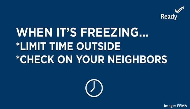
The best way to avoid hypothermia and frostbite is to stay warm and dry indoors and outdoors. If you must go outside, wear several layers of loose-fitting, lightweight, warm clothing. Trapped air between the layers will insulate you. Remove layers to avoid sweating and chill. Outer garments should be tightly woven, water repellent and hooded. Wear a hat because much of your body heat can be lost from your head. Cover your mouth to protect your lungs from extreme cold. Mittens, snug at the wrist, are better than gloves. Try to stay out of the wind.