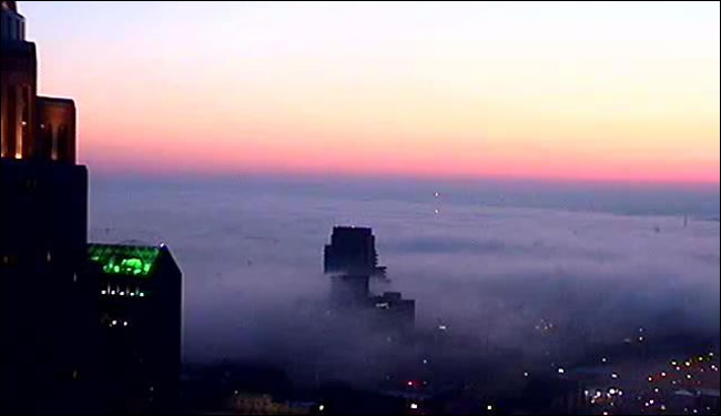
Radiation fog is a very common type of fog throughout the United States. It is most prevalent during the fall and winter. It forms overnight as the air near the ground cools and stabilizes. When this cooling causes the air to reach saturation, fog will form. Fog will first form at or near the surface, thickening as the air continues to cool. The layer of fog will also deepen overnight as the air above the initial fog layer also cools. As this air cools, the fog will extend upward. The most favored areas for fog development are sheltered valleys where there is little to no wind and locations near bodies of water. Wind would disrupt the formation of radiation fog. Radiation fog is usually patchy, tends to stay in one place and goes away the next day under the sun’s rays. Thicker instances of radiation fog tend to form in valleys or over calm bodies of water.
A special kind of radiation fog, called “tule” (TOO-lee) fog, occurs each winter in the Central Valley of California. The combination of a cool, moist layer of air from the Pacific close to the surface, clear skies above and light winds results in exceptionally thick fog on many nights from late October through February. This phenomenon is often visible on satellite.

