
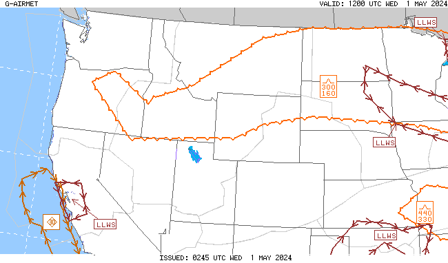
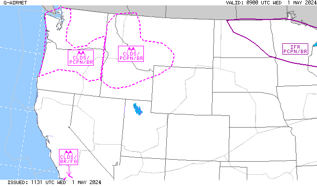
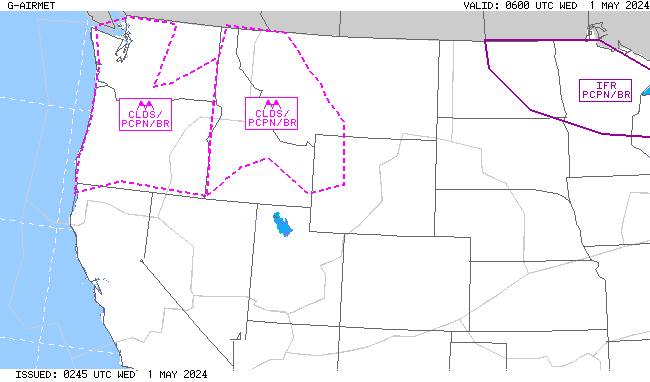
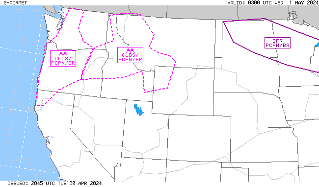
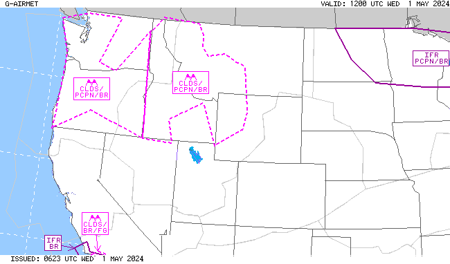
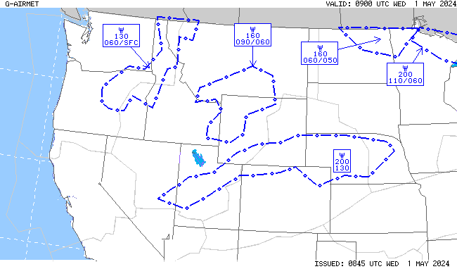
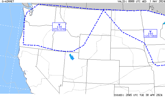
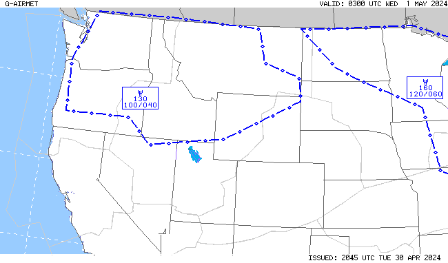
A heat wave over the Southwest will intensify this week, peaking and expanding into the Intermountain West and northern High Plains this weekend. Critical to extremely critical fire weather conditions are forecast from the Northwest and the northern Great Basin this weekend. Particularly Dangerous Situation Red Flag Warnings have been issued. Read More >
Denver CWSU
Center Weather Service Unit
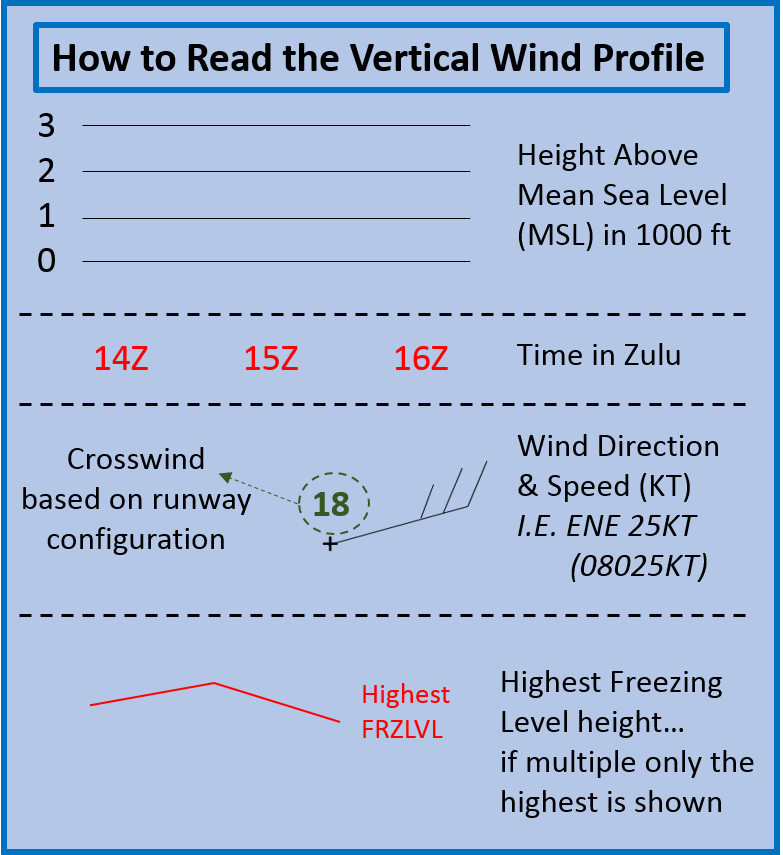
CPRDefault Runway is None |
 |
|
|
|
 |
 |
|
|
|
 |
 |
|
|
|
|
|
|
|
|
|
|
|
|
|
 |
 |
|
|
|
 |
 |
|
|
|
 |
 |
|
|
|
 |
 |
|
|
|
Return to CWSU ZDV homepage here.
US Dept of Commerce
National Oceanic and Atmospheric Administration
National Weather Service
Denver CWSU
2211 West 17th Avenue
Longmont, CO 80501-9763
Comments? Questions? Please Contact Us.


