
| Hover over or click station to get METAR and TAF (if available). | Flight Categories: |
KBIS - Bismarck Municipal Airport
Forecast valid from 0300 GMT 8 Dec 2025 to 0000 GMT 9 Dec 2025
Latest observation at 0352 GMT 8 Dec 2025
For situational awareness. Not to be used for flight planning purposes
| Potential Impact | None | Slight | Moderate | High |
| Time | 0352Z | 08/05Z | 08/06Z | 08/07Z | 08/08Z | 08/09Z | 08/10Z | 08/11Z | 08/12Z | 08/13Z | 08/14Z | 08/15Z | 08/16Z | 08/17Z | 08/18Z | 08/19Z |
|---|---|---|---|---|---|---|---|---|---|---|---|---|---|---|---|---|
| VIS | 10 | >6 | >6 | >6 | >6 | >6 | 5 | 5 | 5 | 5 | >6 | >6 | >6 | >6 | >6 | 6 |
| CIG | 14 | 15 | 15 | 15 | 15 | 15 | 9 | 9 | 9 | 9 | 90 | 90 | 90 | |||
| Cover | OVC | OVC | BKN | BKN | BKN | BKN | BKN | BKN | BKN | BKN | BKN | BKN | BKN | SCT | SCT | SCT |
| FltCat | MVFR | MVFR | MVFR | MVFR | MVFR | MVFR | IFR | IFR | IFR | IFR | VFR | VFR | VFR | VFR | VFR | VFR |
| WX | BR VCFG | BR VCFG | BR VCFG | BR VCFG | BLSN | |||||||||||
| WDir | 140 | 150 | 140 | 140 | 140 | 140 | 160 | 160 | 160 | 160 | 180 | 180 | 180 | 230 | 230 | 260 |
| WSpd | 8 | 5 | 7 | 7 | 7 | 7 | 6 | 6 | 6 | 6 | 7 | 7 | 7 | 13 | 13 | 14 |
| WGust | 23 | 23 | 25 |
FTUS53 KBIS 080315 AAA
KBIS 080314Z 0803/0824 15005KT P6SM OVC015
     FM080600 14007KT P6SM FEW008 BKN015
     FM081000 16006KT 5SM BR VCFG BKN009
     FM081400 18007KT P6SM BKN090 BKN150
     FM081700 23013G23KT P6SM SCT250
     FM081900 26014G25KT 6SM BLSN SCT250
| Potential Impact | None | Slight | Moderate | High |
| Time | OBS | 08/05Z | 08/06Z | 08/07Z | 08/08Z | 08/09Z | 08/10Z | 08/11Z | 08/12Z | 08/13Z | 08/14Z | 08/15Z | 08/16Z | 08/17Z | 08/18Z | 08/19Z |
|---|---|---|---|---|---|---|---|---|---|---|---|---|---|---|---|---|
| KDIK | WX | WX | ||||||||||||||
| KSDY | ||||||||||||||||
| KXWA | WX | WX | WX | WX | WX | |||||||||||
| KMOT | CIG | |||||||||||||||
| KMBG | CIG | CIG | CIG | CIG | CIG | CIG | CIG | CIG | CIG | CIG | CIG | CIG |
NOTE: TEMPO conditions in [brackets]. Keep in mind TEMPO conditions might be better (lower impact) than prevailing conditions.
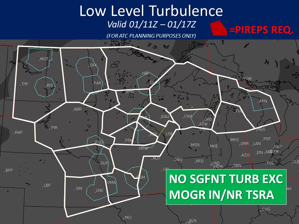
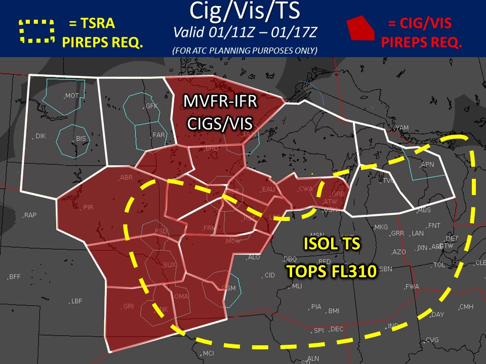
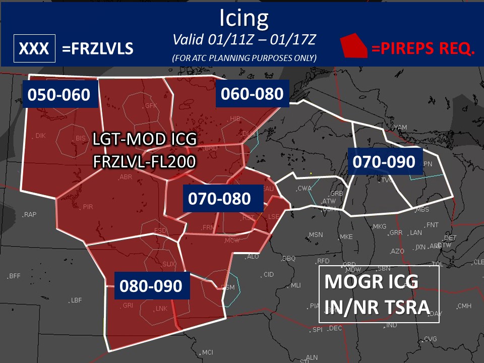
Bar graphs indicate the probability of selected flight category element. The color represents the difference (using 10% thresholds between categories) between the probability and the threshold required to make a categorical forecast. Solid black lines indicate the threshold value at each hour
Bar graphs indicate the probability of selected flight category element. The color represents the difference (using 10% thresholds between categories) between the probability and the threshold required to make a categorical forecast. Solid black lines indicate the threshold value at each hour
|
Tonight Cloudy then Patchy Fog Low: 6° |
Monday Slight Chance Wintry Mix and Patchy Blowing Snow High: 38° |
Monday Night Mostly Cloudy then Chance Rain/Freezing Rain Low: 24° |
Tuesday Rain and Breezy then Chance Rain and Windy High: 42° |
Tuesday Night Slight Chance Rain/Snow and Windy Low: 10° |
Wednesday 
Partly Sunny High: 17° |
Wednesday Night 
Snow Likely Low: 6° |