
Heavy to excessive rainfall is forecast for eastern Louisiana into central Alabama which could bring flash, urban, and riverine flooding Friday. Scattered severe thunderstorms with a few tornadoes, very large hail, and damaging winds are possible across parts of the Gulf Coast States Friday and Friday night. Read More >
Last Map Update: Fri, May. 17, 2024 at 3:07:49 am CDT


CoCoRaHS  |
Submit Storm Report  |
River Stages 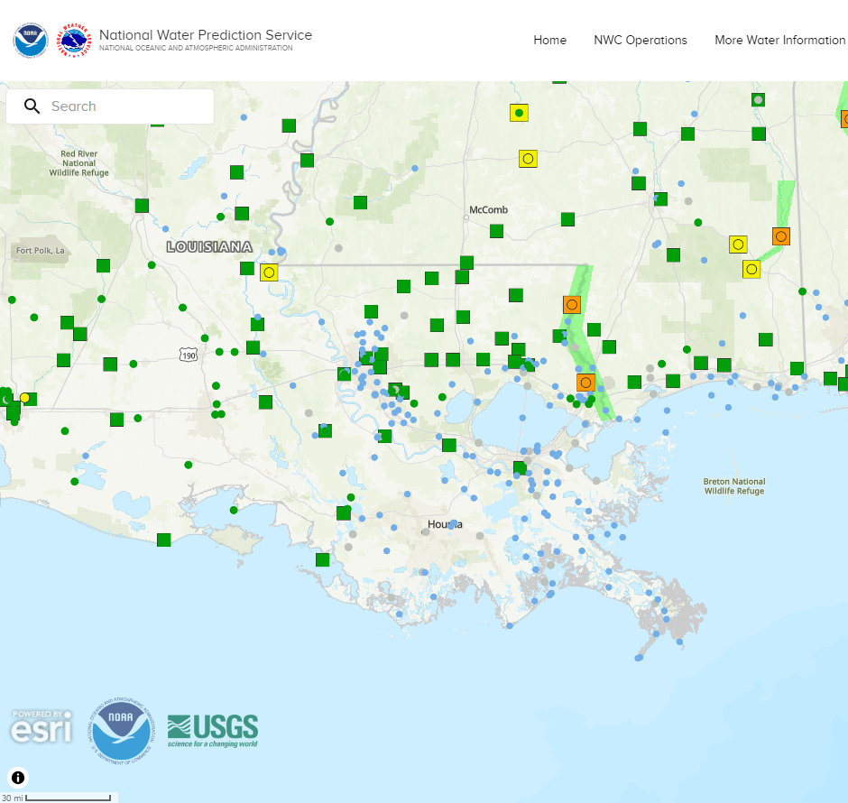 |
Current Weather Observations... | |||||||||||||||||||||||||||||||||||||||||||||||||||||||||||||||||||||||||||||||||||||||||||
|


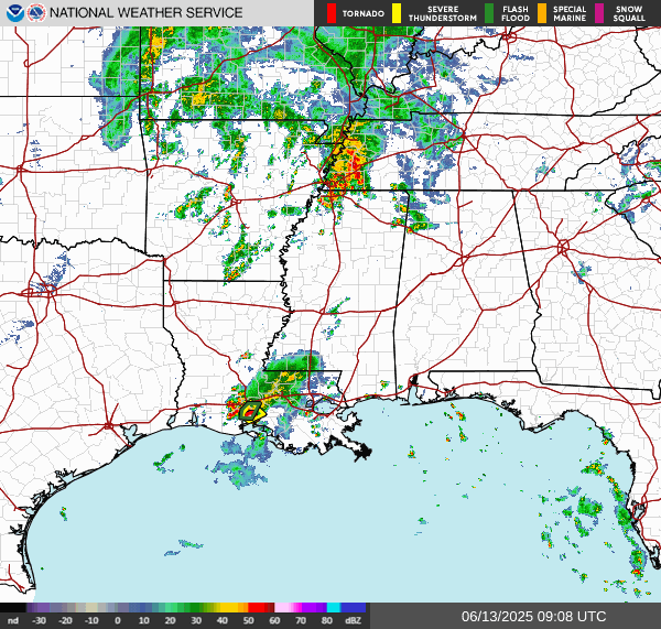 Regional Radar
 Weather Map
 Tropical Weather Outlook
 Graphical HWO
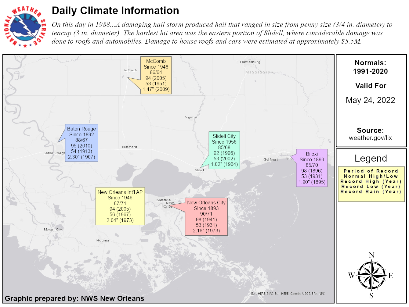 Climate Data for Today
 Follow us on YouTube