A couple of frontal boundaries will move east and south from the Plains to the Gulf and Atlantic coastlines. These boundaries will focus showers and thunderstorms through the weekend, with scattered severe thunderstorms from the Southern Plains and across the Gulf Coast states. Locally heavy rainfall may also occur, which may be welcome news across drought areas. Meanwhile, heat spreads westward. Read More >
New Orleans/Baton Rouge
Weather Forecast Office

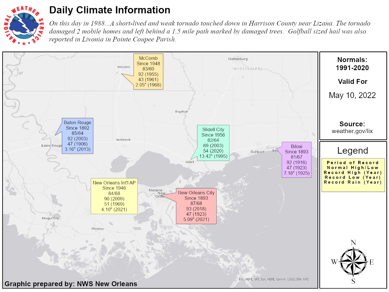
Climate Data for May 8 |
| Normal High* | Normal Low* | Record High | Record Low | Record Precipitation | |
|---|---|---|---|---|---|
| Baton Rouge (since 1892) | 84 | 63 | 96 (1922) | 46 (1992) | 8.1 (1907) |
| Biloxi, MS (since 1893) | 81 | 66 | 90 (1896) | 47 (1992) | 5.41 (1972) |
| McComb, MS (since 1948) | 82 | 60 | 92 (2003) | 44 (1992) | 2.4 (1995) |
| New Orleans - City (since 1893) | 86 | 68 | 94 (2018) | 50 (1911) | 10.94 (1995) |
| New Orleans Intl Airport - MSY (since 1871) | 84 | 67 | 91 (2018) | 48 (1992) | 12.24 (1995) |
| Slidell, LA (since 1956) | 81 | 64 | 91 (1956) | 51 (1999) | 1.89 (1991) |
Current Hazards
Outlooks
Fire Manager Quick Brief
Briefing Page
Storm Prediction Center
Extended Outlooks
Forecasts
Tropical Forecast
Forecast Discussion
Aviation Weather Forecast
Graphical Forecast
Weather Models and Maps
Fire Weather Forecast
Hourly Weather Graph
Air Quality Forecasts
Marine Forecast
Activity Planner
River Forecasts
US Dept of Commerce
National Oceanic and Atmospheric Administration
National Weather Service
New Orleans/Baton Rouge
62300 Airport Rd.
Slidell, LA 70460-5243
504.522.7330 985.649.0429
Comments? Questions? Please Contact Us.

