 |
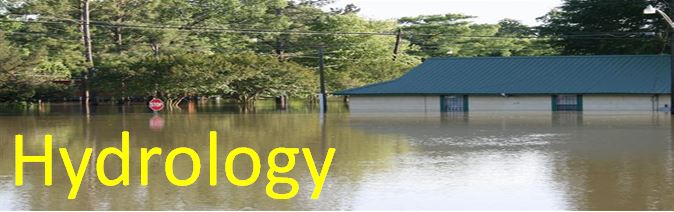
| River Information |
| Mississippi River | NWS 5 Day River & Lake Forecasts |
| Forecast | Extended Forecast River Watch Site Interactive Snow Information |
New Orleans | Shreveport | Jackson | Mobile | Lake Charles |
| USGS River Stage and Streamflow Data | USACE River Stage and Streamflow Data |
| Flood Outlooks | |
| NWS Hydrologic Outlooks | Regional/National Outlooks |
| New Orleans | Shreveport | Jackson | Mobile | Lake Charles | LMRFC |
| River Flood Products | |
| NWS Flood Watches | |
| New Orleans | Shreveport | Jackson | Mobile | Lake Charles | |
| NWS Flood Warnings | NWS Flood Followup Statements |
| New Orleans | Shreveport | Jackson | Mobile | Lake Charles | New Orleans | Shreveport | Jackson | Mobile | Lake Charles |
| Observed and Forecasted Precipitation Data | |
| Observed Rainfall | National/Regional Rainfall Forecasts |
| RRM Daily Radar Estimated |
Weather Prediction Center WPC Rainfall Percentile Guidance: 6 | 24 | LMRFC |
| Hydrologic Links | ||
| Flooding Reports | Drought Conditions | NOAA/NOS Tide Info |
|
Palmer Drought Severity Index
Drought Statement: New Orleans Shreveport | Jackson | Mobile | Lake Charles Drought statements updated as needed
|
||
| Other Links |
|
LMRFC | Archived Daily Weather Maps | CoCoRaHS Volunteer Rainfall Network |


