
Tropical Depression Nine is forecast to track toward the central U.S. Gulf Coast while strengthening into a tropical storm by early Wednesday and a hurricane on Thursday. Stay tuned to forecast updates. Much higher than typical October temperatures will continue across much of California through midweek. Temperatures are forecast to gradually cool beginning Thursday in Coastal California. Read More >
Lower Mississippi RFC
River Forecast Center
Forecasts of future precipitation are derived from weather models and from forecaster judgment. Although accuracy of precipitation forecasts can vary from weather system to weather system, such forecasts are important for river forecasts.

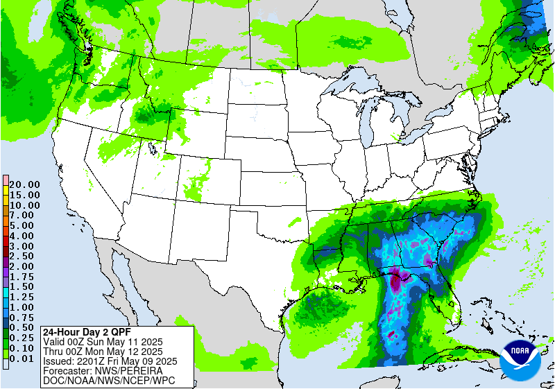
More national forecast precipitation options
Static images. Updates every 6-12hrs.
Forecast precipitation interactive maps
Gridded forecasts for future rainfall. Interactive maps with reduced functionality intended for mobile devices and tablets.


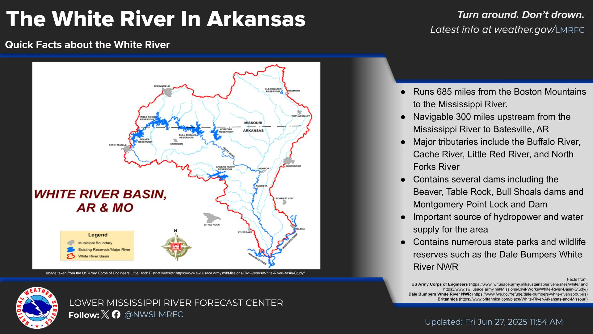 Water Story