
A slow moving front will produce a threat for heavy rainfall and severe weather from New Mexico into the western High Plains through the weekend. Heavy rainfall is also expected this weekend in South Florida. The Bering Sea storm continues to bring heavy precipitation, strong winds, and minor to major coastal flooding through the weekend across western Alaska. Read More >
Lower Mississippi RFC
River Forecast Center
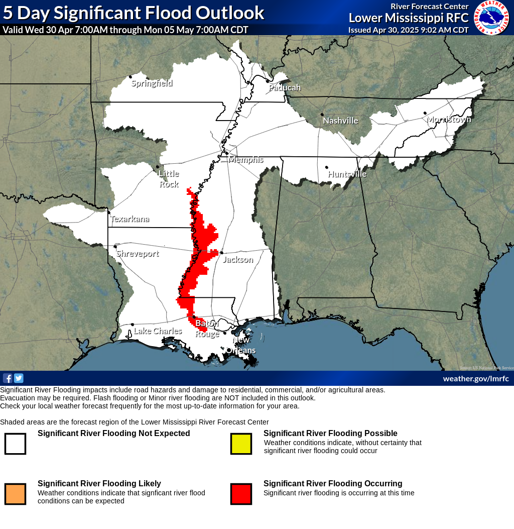
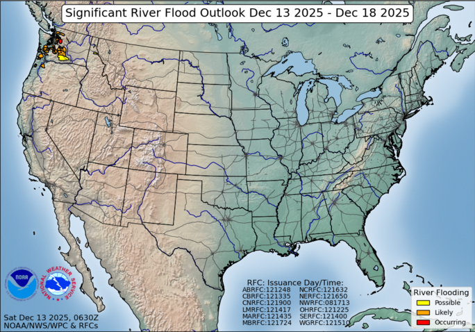
The 5-Day Significant River Flood Outlook indicates the probability of experiencing significant flooding (moderate flood stage or higher) over the next 5 days. Significant flooding is defined as flooding that causes impacts to roadways and structures.


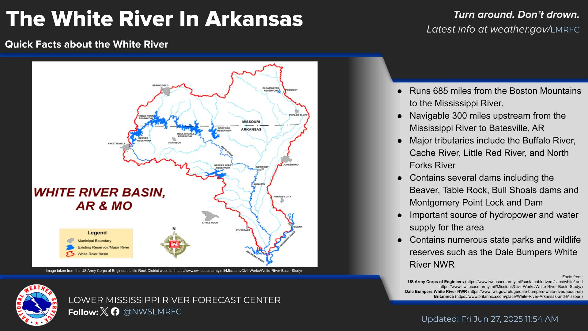 Water Story