
A High Risk (Level 4 of 4) of Excessive Rainfall has been issued for portions of east Texas into western Louisiana today. For weeks, heavy rainfall has fallen across the Gulf coast states so any additional rainfall today will likely lead to life threatening flash flooding. Severe thunderstorms capable of producing large hail, severe winds and tornadoes will also be possible in central Texas. Read More >
Last Map Update: Thu, May. 16, 2024 at 8:55:53 pm CDT


CoCoRaHS  |
Submit Storm Report  |
River Stages 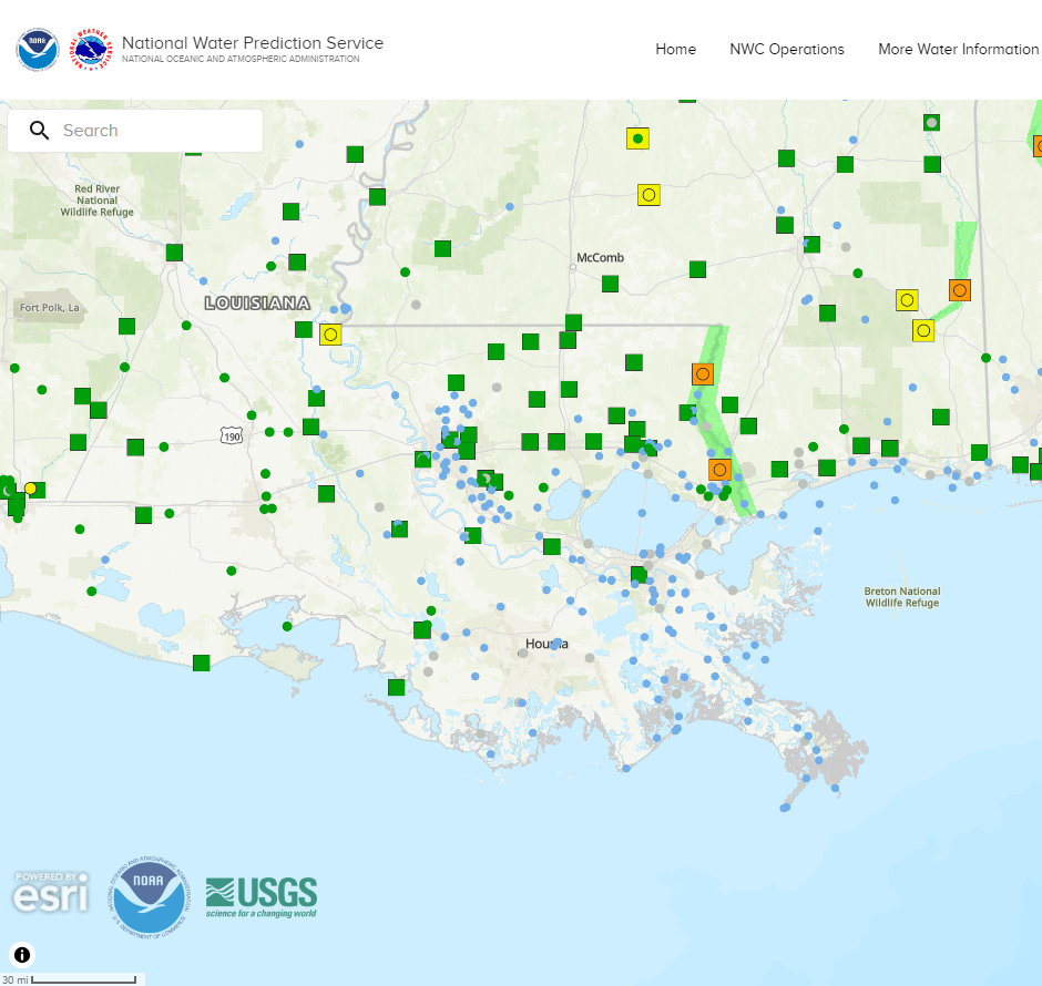 |
Current Weather Observations... | |||||||||||||||||||||||||||||||||||||||||||||||||||||||||||||||||||||||||||||||||||||||||||
|


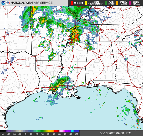 Regional Radar
 Weather Map
 Tropical Weather Outlook
 Graphical HWO
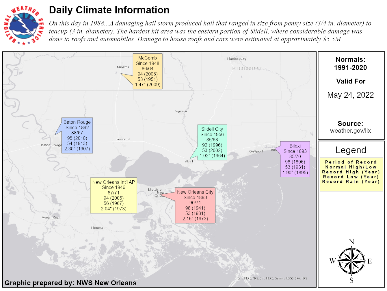 Climate Data for Today
 Follow us on YouTube