Dangerous, prolonged heat is ongoing in the Mid-South to Mid-Mississippi Valley and heat expands into the Northeast for a brief period today. Widely scattered instances of flash flooding due to heavy rains are forecast from northeast Kansas to much of Indiana. Scattered strong to severe thunderstorms are possible across parts of New England, northern Mid-Atlantic, and North Dakota. Read More >
| May 21, 2012 Severe Storms | ||||||||||||
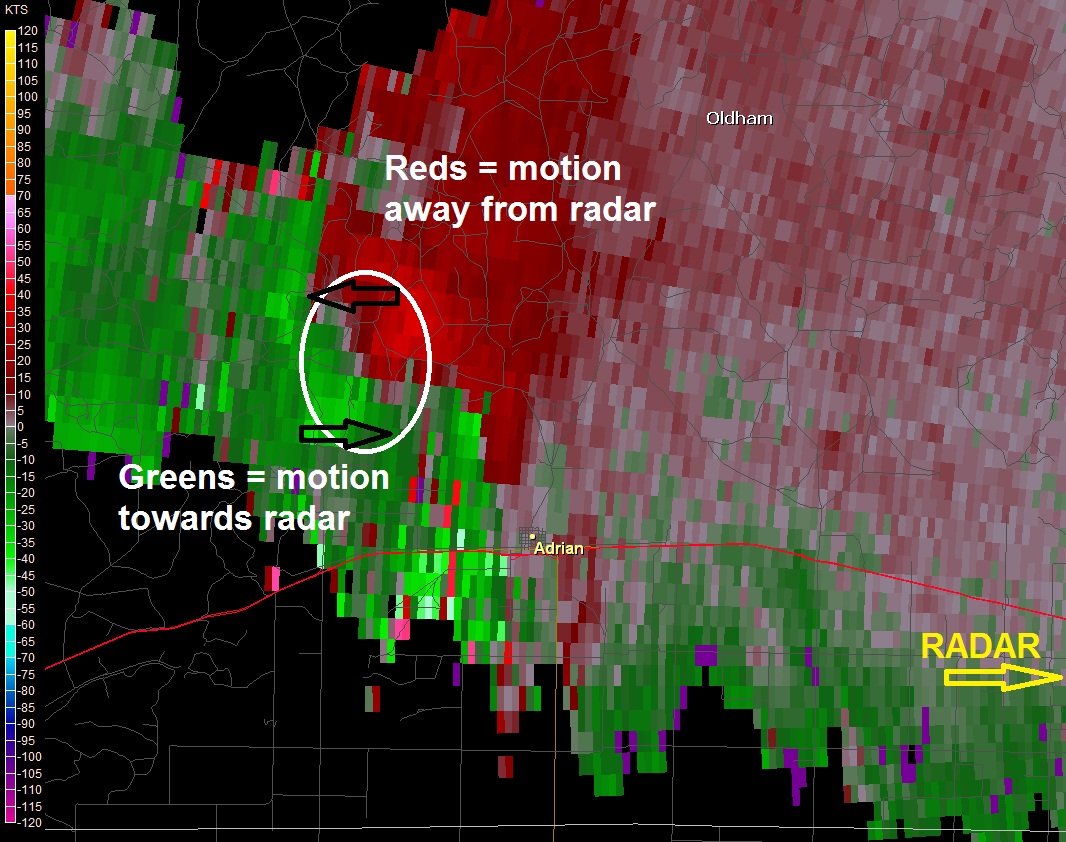
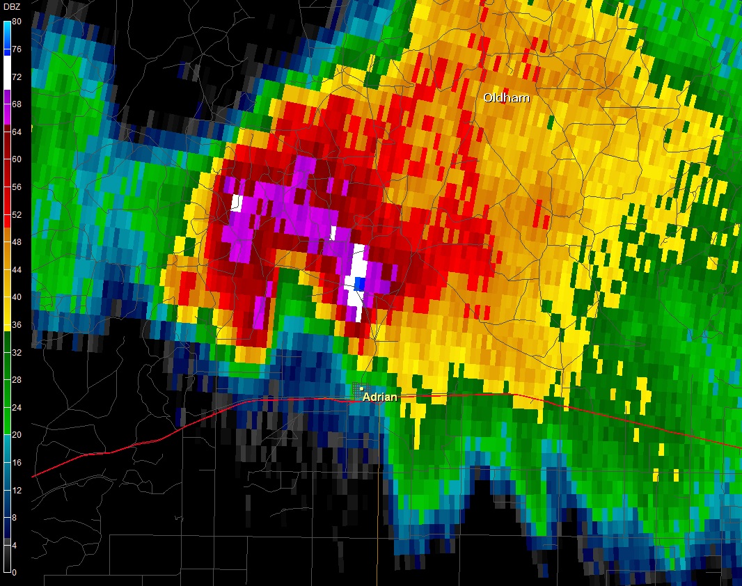
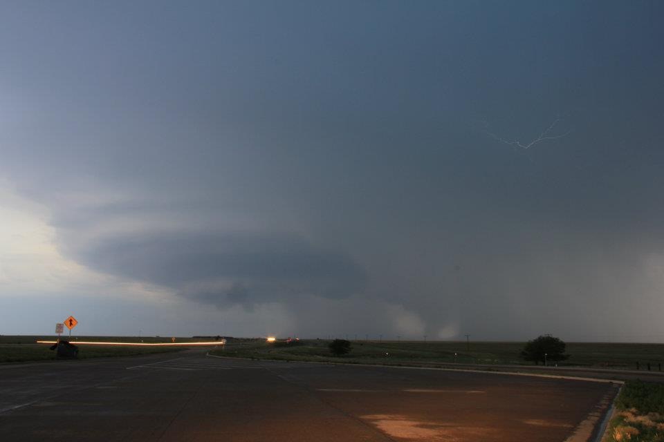
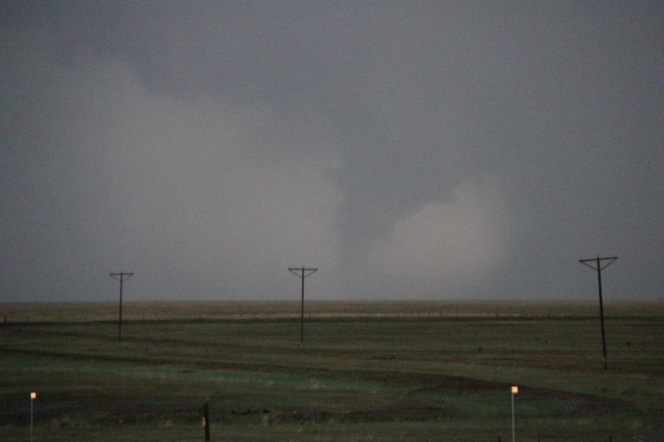
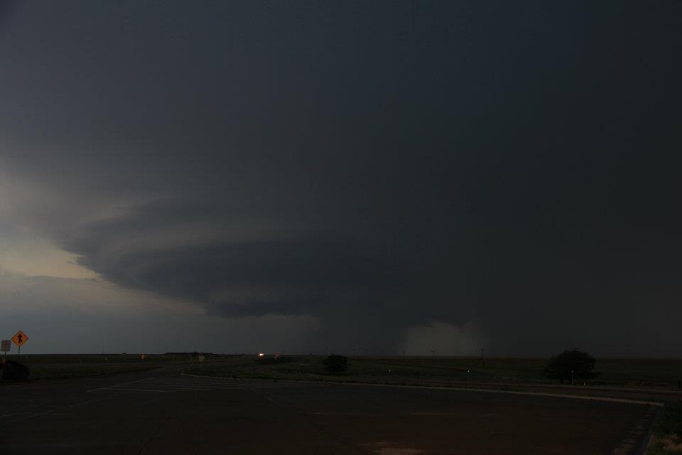
| The combination of an unstable air mass, a retreating frontal boundary, and an approaching upper-level disturbance ignited a round of severe thunderstorms across eastern New Mexico and the western Texas Panhandle. One supercell thunderstorm develop over Oldham County, Texas and slowly drifted southward. This storm produced a tornado 4 miles northwest of Adrian and hail up to the size of golfballs in Adrian. The tornado was rated EF-0 with winds estimated of 65 mph. It was on the ground for 3 minutes with a path length of 1,000 yards. The tornado was estimated to be 100 yards wide. The supercell thunderstorm eventually was overtaken by a line of storms moving out of eastern New Mexico. A squall line of thunderstorms became well-established across the southwestern Texas Panhandle and moved to the southeast. This line of storms quickly became a wind threat, and in fact, a 61-mph wind gust was recorded in downtown Amarillo. | ||||||||||||
 |
||||||||||||
| RADAR IMAGES | ||||||||||||
|
||||||||||||
| STORM IMAGES | ||||||||||||
|