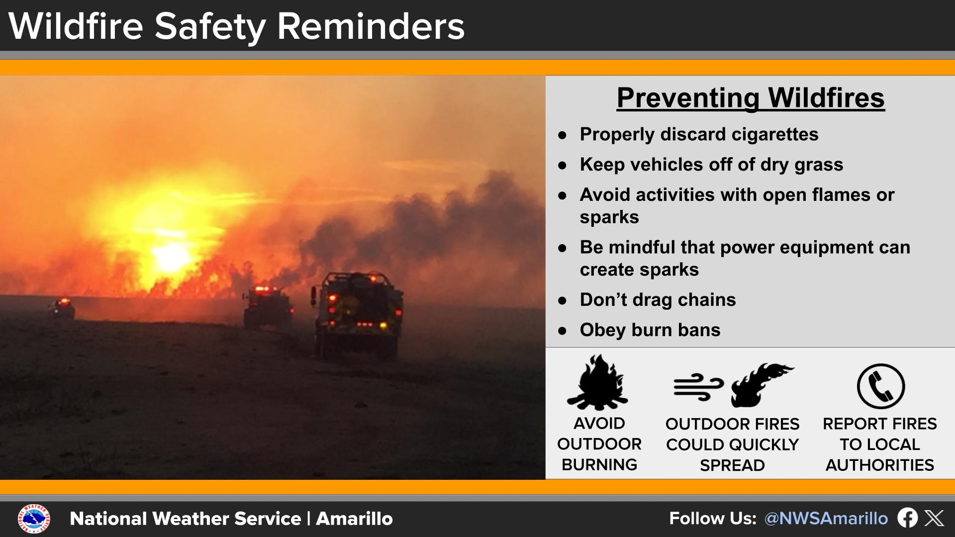
National Weather Service United States Department of Commerce

Tracking Storm System Across the Eastern U.S.

A storm system will continue to produce widespread showers and thunderstorms as it progresses eastward across the central U.S. into the Northeast through the weekend. There are risks of severe thunderstorms and excessive rainfall on Saturday from the Ozarks into the mid-Mississippi River Valley with potential for damaging winds, large hail, tornadoes, and flash flooding. Read More >

Click a location below for detailed forecast.

Last Map Update: Sun, Oct 19, 2025 at 9:10:16 am CDT

With increasingly dry and breezy conditions today and tomorrow and the fact that we have already had several unintentional fire starts over the last few weeks, it is important to remember steps we can all take to prevent wildfires. Some big ones that we might not think of right away include not dragging chains, not welding near dry grass, and keeping vehicles off dry grass.
Our winds will be breezy over the next couple days, with gusts generally around 20 to 30 mph in the afternoons. The breezy conditions combined with above normal temperatures and increasingly dry grasses will increase the risk for fire starts. Winds looks a little lighter Tuesday and Wednesday, with spotty chances for rain going toward the end of the week.

Text Product Selector (Selected product opens in current window)


Current Observations ( )
Location Sky/Weather Temp (°F) Dewpt (°F) RH (%) Wind (mph) Pressure (inHg) Remarks
 Amarillo
N/A
N/A
N/A
N/A
N/A
N/A
N/A
 Borger
N/A
N/A
N/A
N/A
N/A
N/A
N/A
 Canadian
N/A
N/A
N/A
N/A
N/A
N/A
N/A
 Dalhart
N/A
N/A
N/A
N/A
N/A
N/A
N/A
 Dumas
N/A
N/A
N/A
N/A
N/A
N/A
N/A
 Guymon
N/A
N/A
N/A
N/A
N/A
N/A
N/A
 Hereford
N/A
N/A
N/A
N/A
N/A
N/A
N/A
 Pampa
N/A
N/A
N/A
N/A
N/A
N/A
N/A
 Perryton
N/A
N/A
N/A
N/A
N/A
N/A
N/A
 Amarillo 9NNE
N/A
N/A
N/A
N/A
N/A
N/A
N/A
 Amarillo 7SSE
N/A
N/A
N/A
N/A
N/A
N/A
N/A
 Bootleg 11WNW
N/A
N/A
N/A
N/A
N/A
N/A
N/A
 Canadian 6E
N/A
N/A
N/A
N/A
N/A
N/A
N/A
 Clarendon 2WSW
N/A
N/A
N/A
N/A
N/A
N/A
N/A
 Claude 12SW
N/A
N/A
N/A
N/A
N/A
N/A
N/A
 Hereford 2NW
N/A
N/A
N/A
N/A
N/A
N/A
N/A
 McLean 1E
N/A
N/A
N/A
N/A
N/A
N/A
N/A
 Palo Duro SP
N/A
N/A
N/A
N/A
N/A
N/A
N/A
 Pampa 2E
N/A
N/A
N/A
N/A
N/A
N/A
N/A
 Umbarger 3NNE
N/A
N/A
N/A
N/A
N/A
N/A
N/A
Note: "N/A" or "MISG" will be displayed if values are not available. In the LOCATION column, click on links for a list of recent observations at sites of interest. In the WIND column, VRB is "variable" and G is "gust". In the REMARKS column, HX is "heat index", WCI is "wind chill index", and VSB is "visibility" (if shown).


Aviation Drought Fire Weather Hydrology Severe Weather Winter Weather
 
Climate Graphs Hourly Forecast Long Range Local Model Data Precip Maps Heat
 
Education Local Research News Skywarn Weather Calculator Weather Radio