| Click anywhere on the map for the forecast. Turn "on and off" the various weather parameters using the display options. Hover over a highlighted area to see the hazard. | Map Display Options | • Submit Report • | ||||||||||||||
|
Hazardous Weather Outlook Forecast Discussion Latest Conditions |
|
|
||||||||||||||
| La Crosse | Other Local Radars | ||||
STANDARD / ENHANCED |
Minneapolis |
Duluth |
Green Bay |
||
Des Moines |
Davenport |
Milwaukee |
|||
National  |
|||||
| Today's reports | Yesterday's reports | |
|
 |
 |
| [Details] | [Details] |
| Weather Predicition Center: Rainfall Outlooks | ||||||||
3 Day Total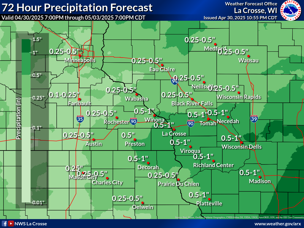 |
|
|||||||
| Storm Prediction Center: Advanced Tools | ||||||
Upper Air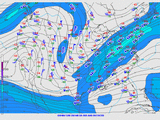 |
Soundings |
Short Range Ensemble |
SREF Plumes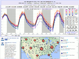 |
Storm Scale Ensemble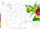 |
Analysis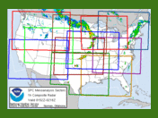 |
Climatology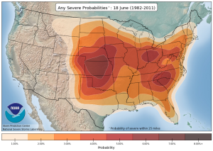 |


 Follow us on YouTube