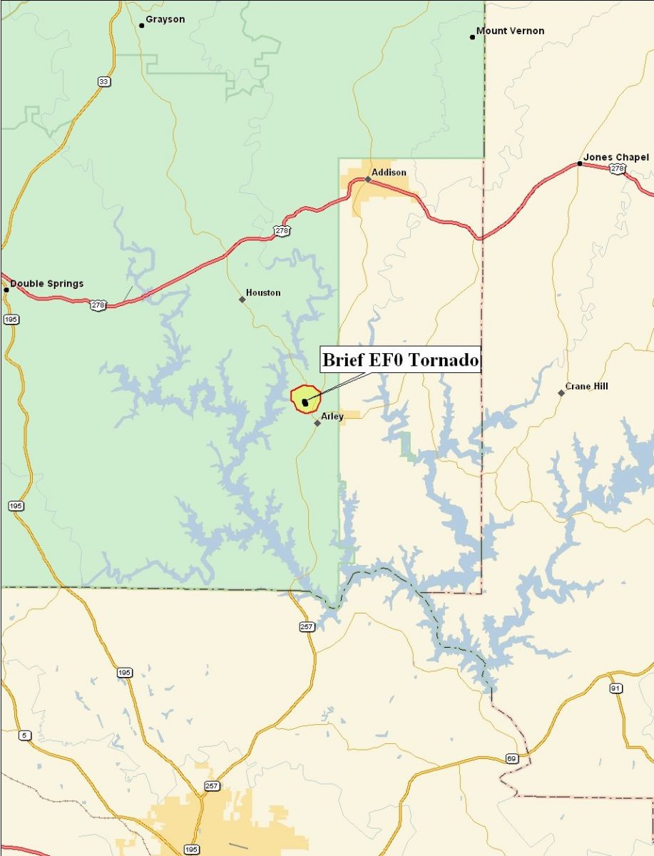
Arley Tornado - Winston County
August 24th, 2008
|
Rating:
(Click for EF Scale) |
EF-0
|
|
Estimated Maximum Wind:
|
70 MPH
|
|
Injuries/Fatalities:
|
None
|
|
Damage Path Length:
|
0.1 of a Mile
|
|
Maximum Path Width:
|
20 Yards
|
|
Approximate Start Point:
|
34.09/-87.22 at 6:24 PM
|
A National Weather Service damage assessment team has surveyed the storm damage and evaluated the images in Winston County. It was determined that the damage was the result of a tornado. Around 6:30 PM on August 24th an EF-0 briefly touched down in Arley. This brief tornado was captured on video in Arley. Several street signs were blown down. One sign was blown into a power pole snapping the pole. The tornado damage path length was less than 0.1 of a mile long and was 20 yards wide at its widest point. The tornado was rated an EF-0 on the Enhanced Fujita scale. Damage estimates were consistent with winds around 70 MPH.
Damage Path
Damage Photos


Tornado Picture Tornado Viewed from Smith Lake Tornado near Arley
Courtesy of Wendy Odom


Tornado Pics Viewed from Smith Lake - Courtesy of Wendy Odom


Funnel Cloud near Arley Tornado Viewed from Smith Tornado near Arley
Lake Courtesy of Wendy Odom


 Follow us on YouTube