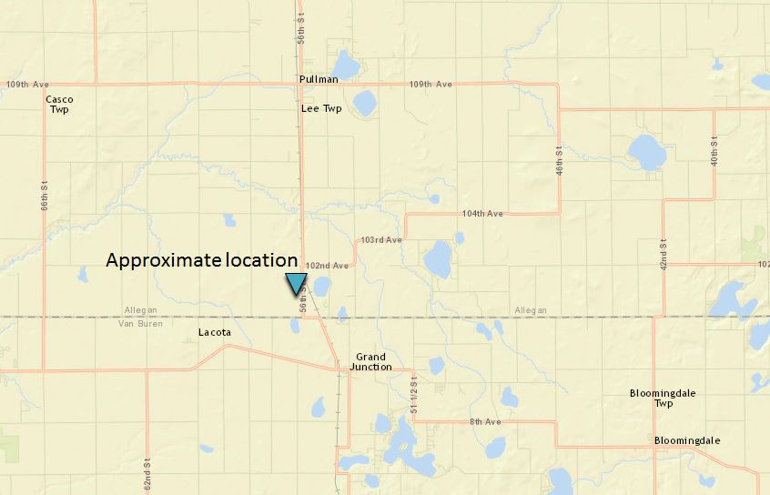
EF-0 Landspout Tornado near Grand Junction, MI, on June 30, 2017
|
Landspout Tornado: Near Grand Junction, MI *** Details are preliminary and may change ***
Track Map
|
||||||||||||||||
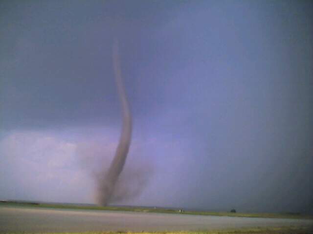
A colloquial expression, dating back to 1985, for a tornado that does not arise from organized storm-scale rotation and therefore is not associated with a wall cloud (visually) or a mesocyclone (on radar). Landspouts typically are observed beneath cumulonimbus or towering cumulus clouds (often as no more than a dust whirl), and essentially are the land-based equivalents of waterspouts. (NWS Glossary and AMS Glossary)
It is a rapidly rotating column of air that rises from the ground into the cloud of a shower or thunderstorm. Depending on atmospheric humidity, the funnel cloud made of condensed water droplets may or may not reach the ground, but dust whirls are often apparent at the ground. Landspouts are typically "weak" (EF-0 rated with winds less than 85 mph) but are still strong enough to cause minor damage and injury by lofting objects and knocking down tree limbs. Landspouts are most common in the High Plains but do occasionally occur in Michigan.
A landspout forms through a process not too dissimilar from a waterspout or fair-weather dust devil. Subtle, virtually imperceptible pre-existing rotation near the ground underneath an updraft can be contracted and vertically stretched as the column of air rises into a shower or storm cloud. This contraction of rotation increases the rate of spin, like a figure skater pulling their arms inward.
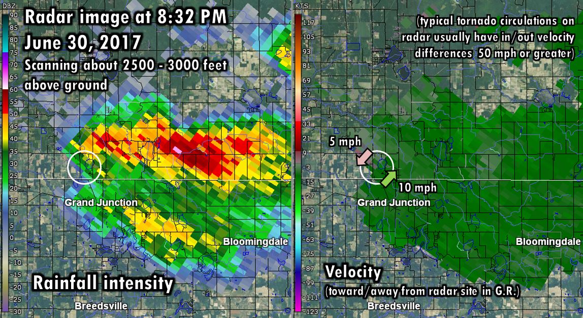
The low-level rotation is very narrow and does not extend far into the cloud, and is usually overshot by the radar beam or too small to be resolved. The parent shower or thunderstorm is usually not strong enough to warrant a warning for large hail or damaging winds. For these reasons, advance tornado warnings for landspouts are practically impossible. Since landspouts are usually weak and short-lived, they often diminish before reports are relayed and warnings can be issued. However, local authorities can sound outdoor warning sirens at their discretion to provide notice to those nearby.
More "typical" and more dangerous tornadoes are caused by rotating thunderstorm updrafts called mesocyclones that are wider, taller, persistent, and rotate faster. This storm-scale rotation originates from wind shear that creates a tendency for atmospheric "spin" around a horizontal axis, which then gets tilted well above the ground by a storm's updraft into a circulation around a vertical axis. Research has found that a storm's downdraft plays an important part in generating rotation closer to the ground under a mesocyclone. Some research also suggests that the density of downdraft air (from a combination of temperature and humidity) in relation to the density of nearby updraft air is a potential factor in whether tornado development ultimately occurs. However, this part of the process is still not well understood. [Related reading]
Yes! Nature doesn't make things easy to categorize. Sometimes severe thunderstorms with mesocyclones can produce strong tornadoes over water (including Lake Michigan). While they may be called waterspouts or "tornadic waterspouts," the process of strong tornado development over water from a rotating thunderstorm is what makes it more like a "true" tornado and less like a typical waterspout. An extreme example happened on April 3, 1956, when an intense rotating thunderstorm developed a violent tornado over Lake Michigan, which made landfall in Allegan County as an F4, destroying the Saugatuck lighthouse and continuing all the way to Holland before dissipating. That was the tornado a half hour prior to the infamous Hudsonville-Standale F5. But no matter what we call these phenomena, if it's rotating fast enough to hurl objects around, it can cause injury.
Newaygo area: June 29, 2005
Schoolcraft area: May 10, 2006

Breckenridge area: May 25, 2006
[photo not available]
 |
Media use of NWS Web News Stories is encouraged! |
|