|
||||||||||||||||
|
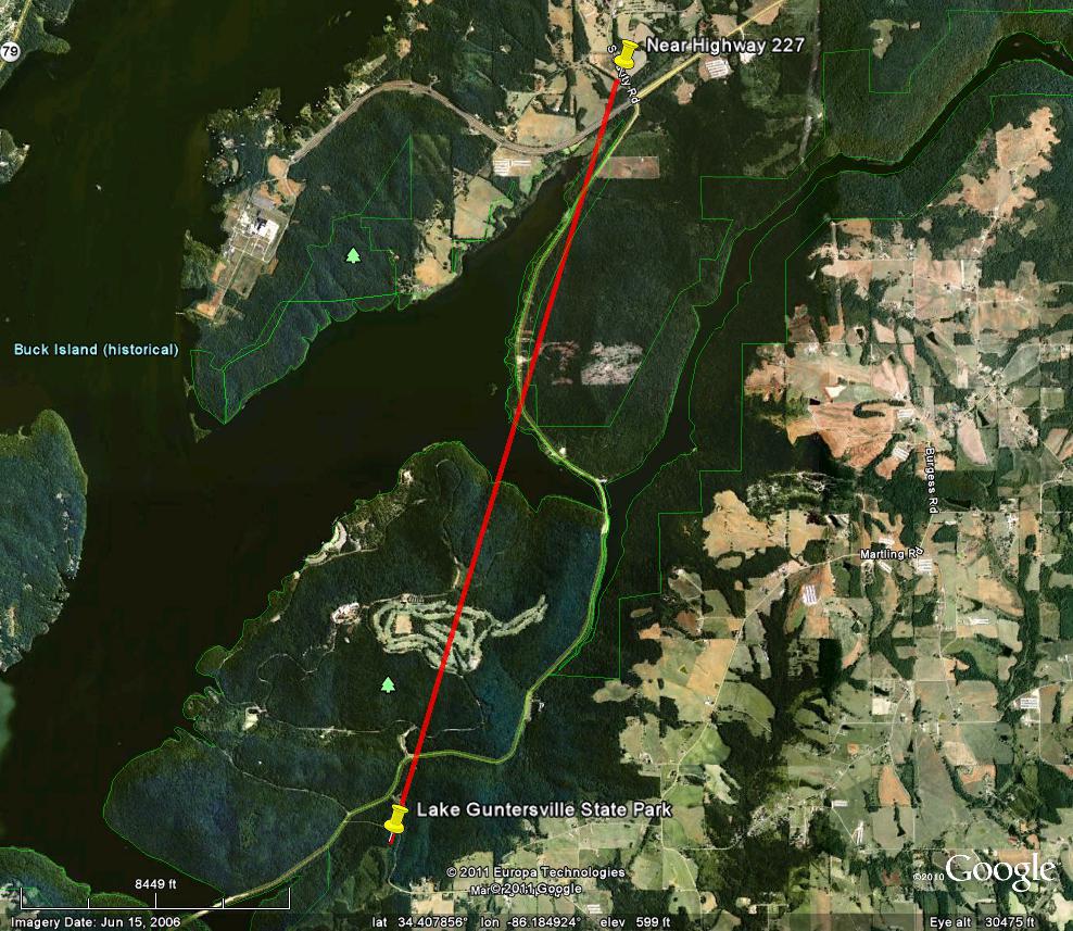
This short-lived tornado did most of its damage over portions of Lake Guntersville State Park, near the entrance and across the golf course. The tornado was separate from the EF-2 tornado responsible for the damage over the campground on the north side of the park. Many trees were snapped with a few larger pines uprooted. From the state park, the tornado continued briefly north-northeast, crossing Highway 227 before lifting near south Sauty Road and Highway 227. Damage along Highway 227 was mainly snapped trees. |
||||||||||||||||
|
||||||||||||||||


 Local Radar
 Weather Map
 Follow us on YouTube