Morgan, Marion, Hendricks and western Hancock Counties:
The storm that hit the Indianapolis metro area produced 5 tornadoes. The first tornado from the storm touched down briefly just southwest of Little Point in Northwest Morgan county. The second tornado was on the ground for about 5 miles from near Crown Center to just west of Monrovia in Morgan County. The third tornado touched down just north of Mooresville, east of Rte 267 and South of I-70. A fourth tornado began near just west of Heartland Crossing along Rte 67 and was on the ground off and on for 5 miles before picking up just west of Mooresville Rd. Near West Newton. The 5th and final tornado began near Harding and I465 and continued northeast across the south side of Indianapolis and picking up near Washington and I465 on the east side. The worst damage was found near Keystone between Raymond St. And Troy which was rated as F2. The tornado continued across 465 at Post Road and then lifted. Additional brief touchdowns (F0) occurred near 21st Street, 25th and Mittehoffer and German Church Road and 30th Street. The last touchdown occurred at 38th street and County Line where it crossed into Hancock County before lifting.
|
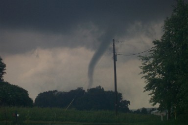
Tornado 3 miles west of Monrovia. Photos courtesy of Brett and Rebecca Everett |
 |
 |
 |
 |
|
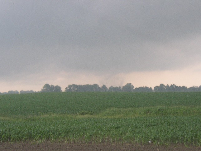
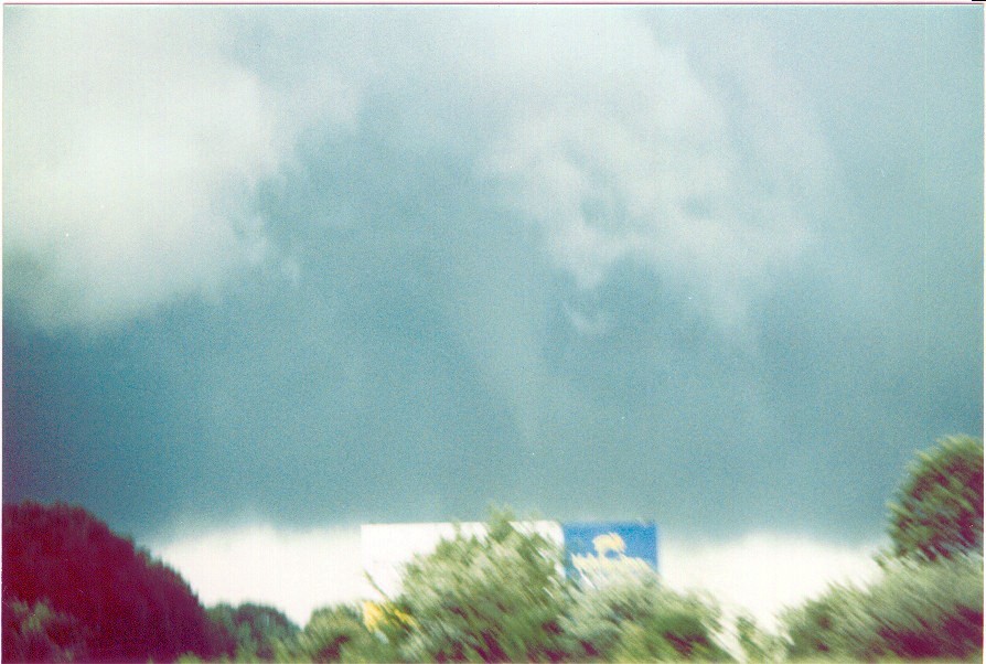
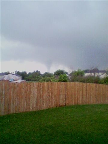
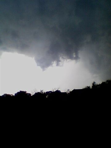
Tornado/Wall Cloud Pictures across Morgan/Hendricks and Marion counties from just north of Monrovia to around Camby. A larger view is not available for the first image. Photos courtesy of Gary Stofer and Dave Eaton |
 |
 |
 |
 |
 |
 |
 |
 |
 |
 |
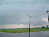
| Tornado pictures from near Little Point to just north of Monrovia. Photos courtesy of Eric Wasson |
 |
 |
 |
 |
 |
 |
 |
 |
|
Tornado 1/4 of a mile north east of Mooresville in Hendricks County in the Mares Meadows area . Photos courtesy of Allen Tinsley |
 |
 |
|
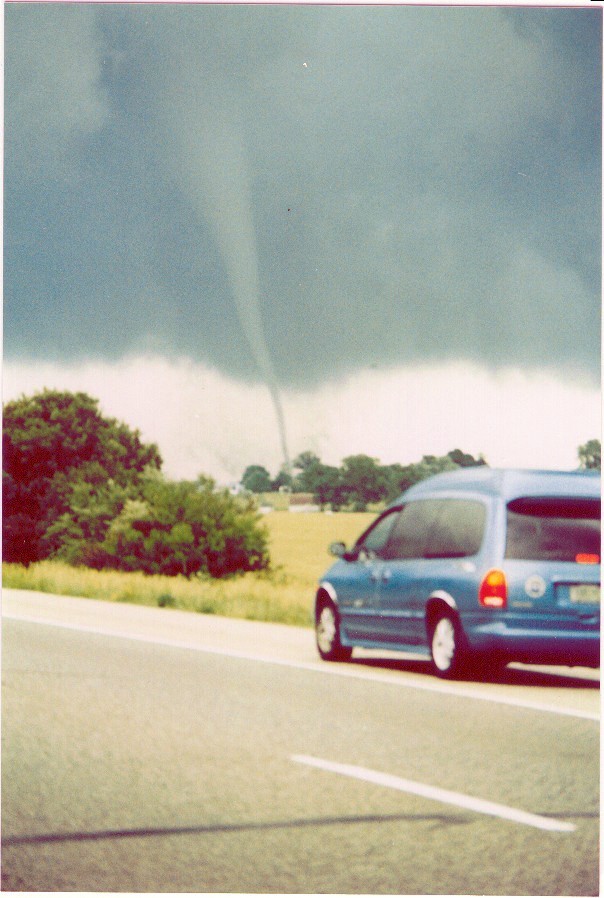
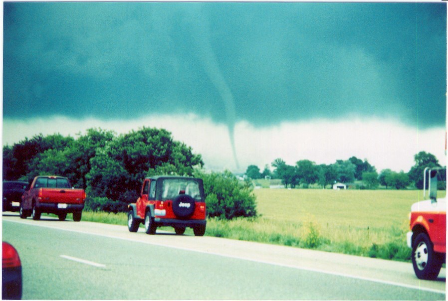
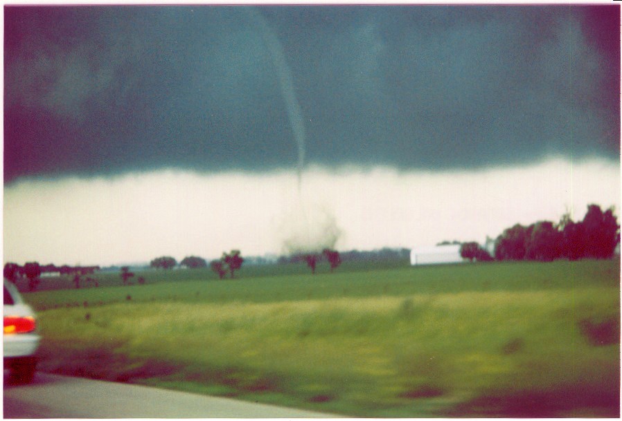
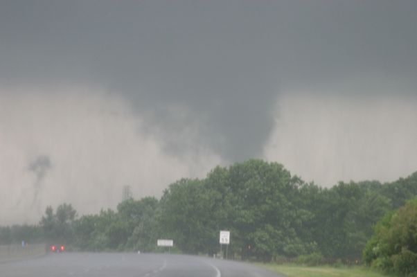
Tornado just north east of Mooresville moving northeast along SR 267 near I-70. Photos courtesy of Chris and Becky Kuhlman |
 |
 |
 |
 |
|
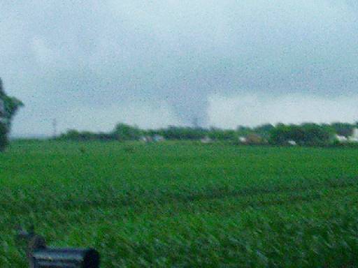
Tornado just west of Heartland Crossing near State Road 67. Photos courtesy of Steve Harman. |
 |
 |
 |
 |
 |
|
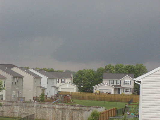
Tornado just south of I-465 and moving east (first 3 pictures). Final picture is of the tornado moving northeast crossing I-465 along East Street (larger image not available). Photos courtesy of Chris and Becky Kuhlman. |
 |
 |
 |
 |
|
Wall Cloud and Tornado Pictures Near the Intersection of State Road 37 and Southport Rd. Photos taken by Gerry and Jamie Bielinski |
 |
 |
 |
 |
 |


 Follow us on YouTube