| December 11, 2008 Snow |
 |
 |
click on map for larger image
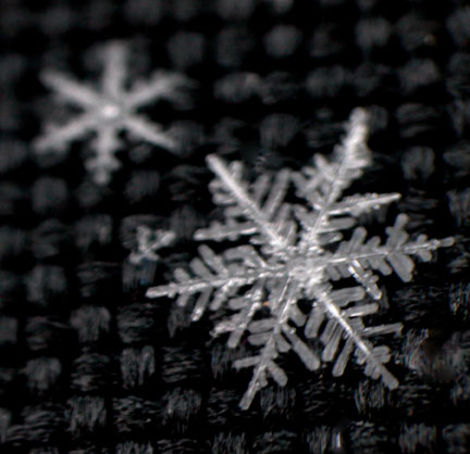
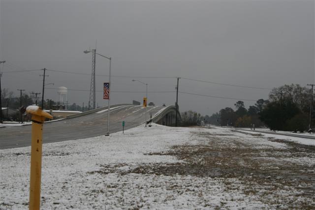
A cold upper level low pressure system moved across Southeast Texas and Southwest Louisiana during the morning hours of December 11, 2008. As cold air aloft associated with this system interacted with widespread rainfall ongoing over the area, precipitation began mixing with sleet and snow, and eventually changed over to all snow in many locations. Snow lasted for several hours, with numerous reports of large snowflakes to the size of half dollars, along with a few reports of thundersnow - lightning and thunder occurring during a snowstorm. When all was said and done, snowfall totals anywhere from a trace up to 6 inches were seen across the area.
Snowfall is rare across Southeast Texas and Southwest Louisiana, and when snow does fall little or no ground accumulation typically occurs. Therefore, this event easily set numerous snowfall records:
| Beaumont/Port Arthur | |
|
Earliest measurable snowfall on record for the fall/winter season (previous record: 12/22/89) |
|
|
All-time record snowfall total (1.8") for the month of December (previous record: 0.7" on 12/22/89) |
|
|
Only second time in history measurable snow has occurred in December |
|
| Lake Charles | |
|
Earliest measurable snowfall on record for the fall/winter season (previous record: 12/22/89) |
|
|
All-time record snowfall total (0.4") for the month of December (previous record: 0.2" on 12/22/89) |
|
|
Only second time in history measurable snow has occurred in December |
|
| Lafayette | |
|
First measurable snowfall ever recorded in December |
|
|
All-time record snowfall total (1.0") for the month of December (previous record: 0.0") |
|
| New Iberia | |
|
Earliest measurable snowfall on record for the fall/winter season (previous record: 12/22/89) |
|
|
All-time record snowfall total (0.8") for the month of December (previous record: 0.5" on 12/22/89) |
|
|
Only second time in history measurable snow has occurred in December |
|
|
12/11/08 Snow Reports |
|||
| TEXAS | LOUISIANA | ||
| Winnie | 5.5" | Opelousas | 6.0" |
| Lumberton | 4.0" | Washington | 6.0" |
| West Beaumont | 4.0" | Ville Platte | 5.0" |
| Woodville | 3.0" | Vidrine | 4.0" |
| Beaumont | 2.5" | Eunice | 3.0" |
| Wildwood | 2.2" | Oakdale | 3.0" |
| Groves | 2.0" | Church Point | 2.5" |
| Silsbee | 2.0" | Forest Hill | 2.0" |
| SE TX Regional Airport | 1.8" | De Quincy | 1.5" |
| Nederland | 1.0" | Vinton | 1.5" |
| Orange | 1.0" | Bunkie | 1.3" |
| Port Neches | 1.0" | Elmer | 1.2" |
| Jasper | 0.5" | Moss Bluff | 1.2" |
 |
Bell City | 1.0" | |
| Deridder | 1.0" | ||
| Jennings | 1.0" | ||
| Lafayette | 1.0" | ||
| Lake Arthur | 1.0" | ||
| Sam Houston Jones SP | 1.0" | ||
| Sulphur | 1.0" | ||
| Woodworth | 1.0" | ||
| New Iberia | 0.8" | ||
| Abbeville | 0.5" | ||
| L.C. Salt Water Barrier | 0.4" | ||
| Lake Charles | 0.4" | ||
| Leesville | 0.2" | ||
| Alexandria 911 Center | T | ||
|
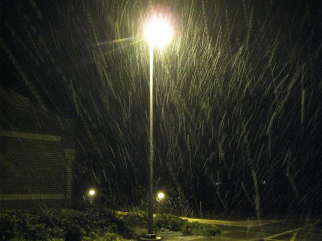
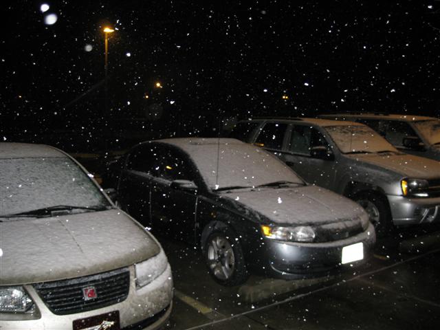
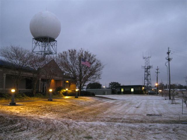
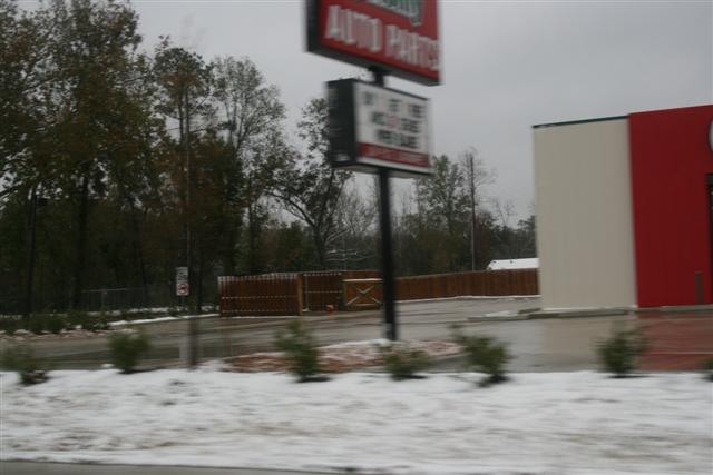
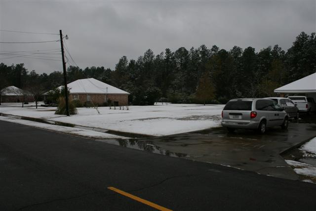
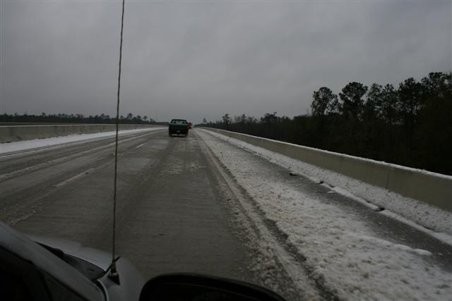
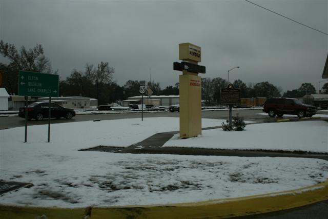
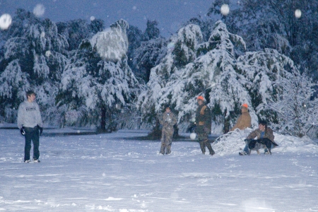
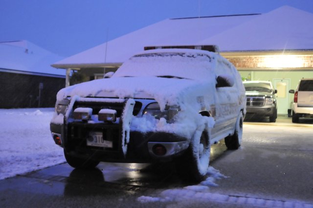
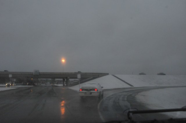
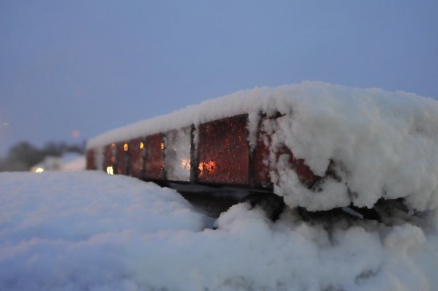
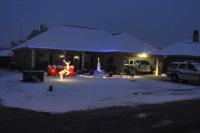
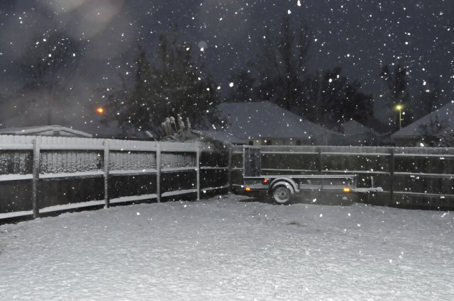
12/11/08 Snow Pictures |
|||||
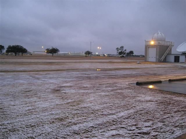
| NWS Lake Charles | |||||
 |
 |
 |
 |
 |
 |
|
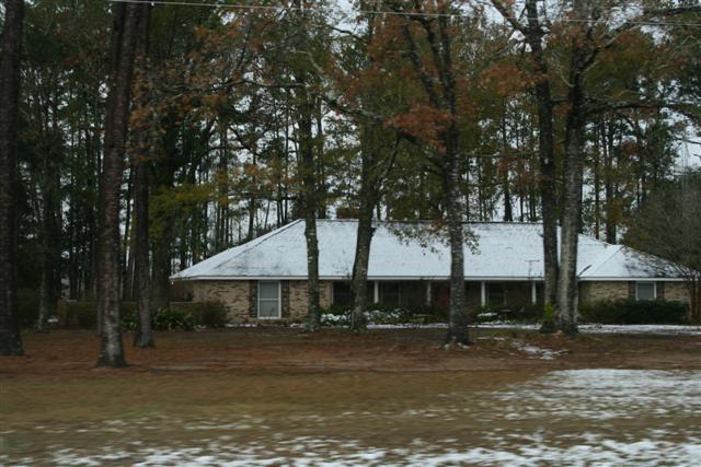
Calcasieu Parish |
|||||
 |
 |
 |
 |
 |
 |
|
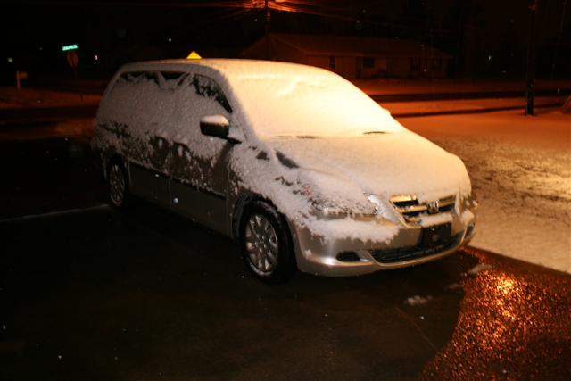
Beauregard Parish |
|||||
 |
 |
 |
 |
||
|
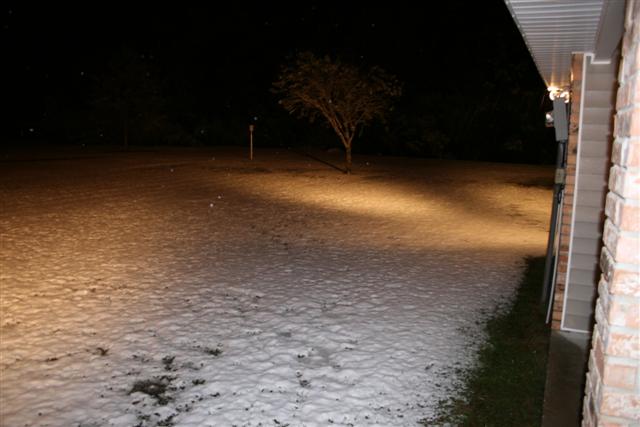
Allen Parish |
|||||
 |
 |
 |
 |
 |
 |
|
Evangeline Parish (Ville Platte area, courtesy of KALB-TV) |
|||||
 |
 |
||||
|
Lafayette Parish (Carencro area, courtesy of KLFY-TV) |
|||||
 |
 |
 |
 |
 |
 |

