A storm will track north of the Great Lakes Friday with widespread rain showers across the Eastern U.S. along and ahead of its cold front. Further south along the front isolated severe thunderstorms are possible. A Pacific storm will continue moving across the Northwest U.S. into Friday with additional low elevation rain, gusty winds, and mountain snow. Read More >
New Orleans/Baton Rouge
Weather Forecast Office
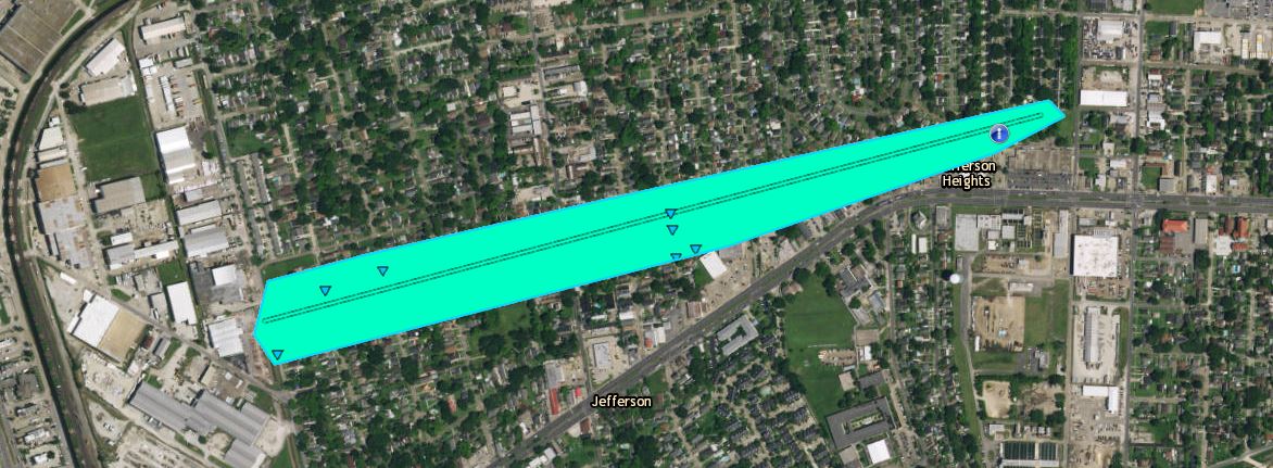
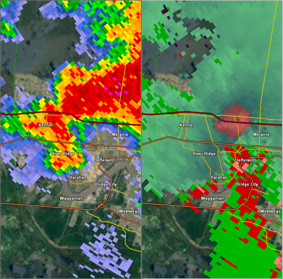
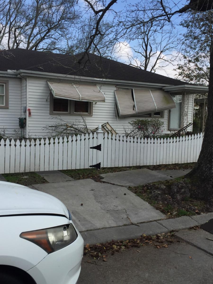
Elmwood to Old Jefferson, LA Tornado - February 7, 2017
|
Rating:
|
EF-0
|
|
Estimated Maximum Wind:
|
80 mph
|
|
Injuries/Fatalities:
|
None
|
|
Damage Path Length:
|
0.95 miles
|
|
Maximum Path Width:
|
25 yards
|
|
Approximate Start Point/Time:
|
Elmwood, LA at 1051 AM CST
|
|
Approximate End Point/Time:
|
Jefferson, LA at 1053 AM CST
|
|
A National Weather Service Damage Assessment Team has surveyed the storm damage near Elmwood, LA, and Jefferson, LA. It has been determined the damage was the result of a tornado. The tornado has been rated an EF-0 on the Enhanced Fujita Scale. Damage estimates were consistent with winds of 80 mph. Tornado began near Elmwood and led to intermittent large tree limb and minor roof damage along a one mile path into the Old Jefferson area of Metairie. |
|
|
|
|
||||||||||
Current Hazards
Extended Outlooks
Outlooks
Fire Manager Quick Brief
Briefing Page
Storm Prediction Center
Forecasts
Marine Forecast
Activity Planner
River Forecasts
Tropical Forecast
Forecast Discussion
Aviation Weather Forecast
Graphical Forecast
Weather Models and Maps
Fire Weather Forecast
Hourly Weather Graph
Air Quality Forecasts
US Dept of Commerce
National Oceanic and Atmospheric Administration
National Weather Service
New Orleans/Baton Rouge
62300 Airport Rd.
Slidell, LA 70460-5243
504.522.7330 985.649.0429
Comments? Questions? Please Contact Us.