
Critical fire weather conditions, severe thunderstorms capable of producing severe wind gusts, large hail, strong tornadoes and heavy rainfall remain on tap for the central U.S. this evening. Flash flooding is also possible for portions of the Plains and Mississippi Valley. Very large hail up to 3 inches in diameter will be possible this evening across western Kansas. Read More >
| Overview | ||||||||||||||||||||||||||||||||||||||||||||||||||||||||||||
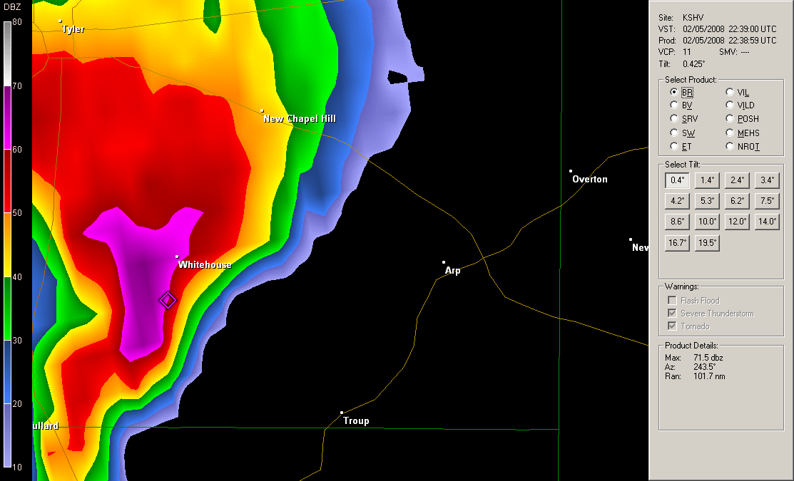
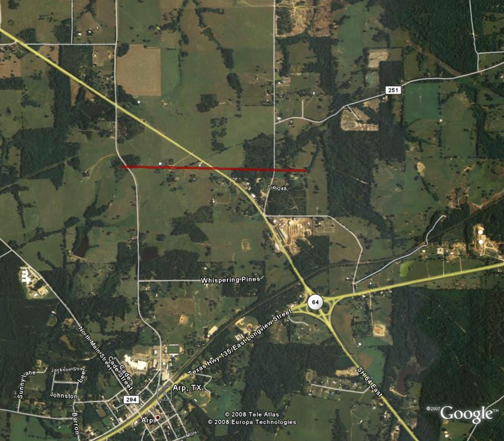
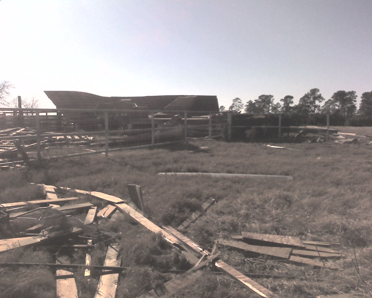
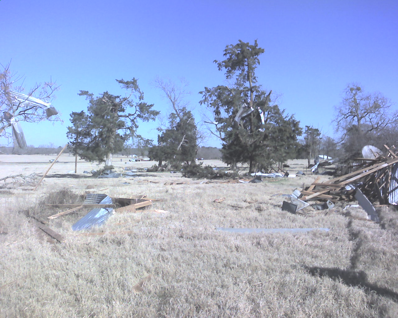
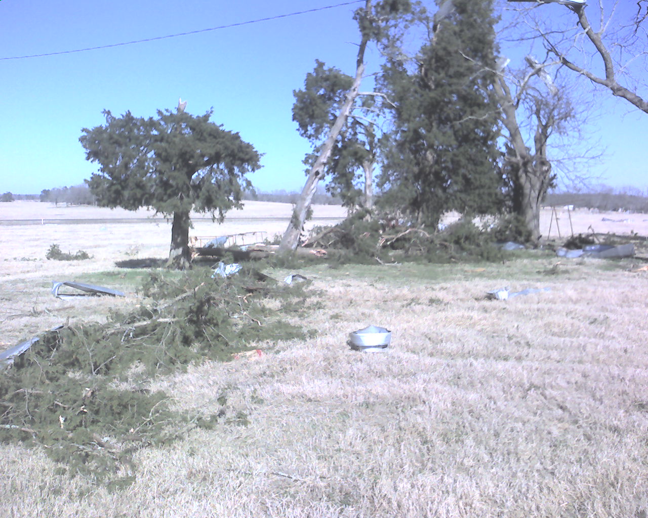
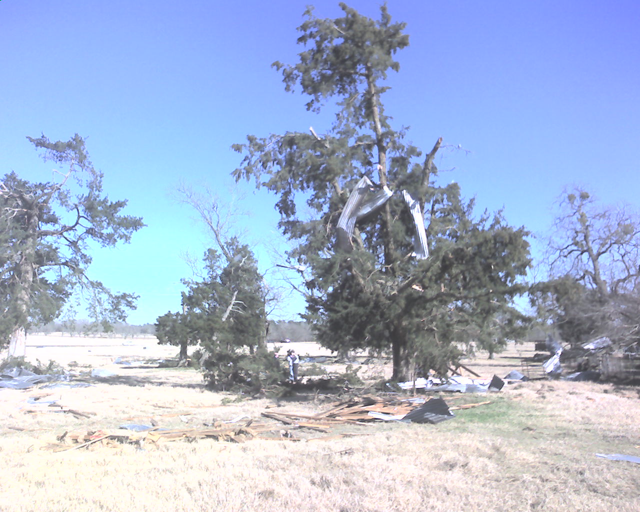
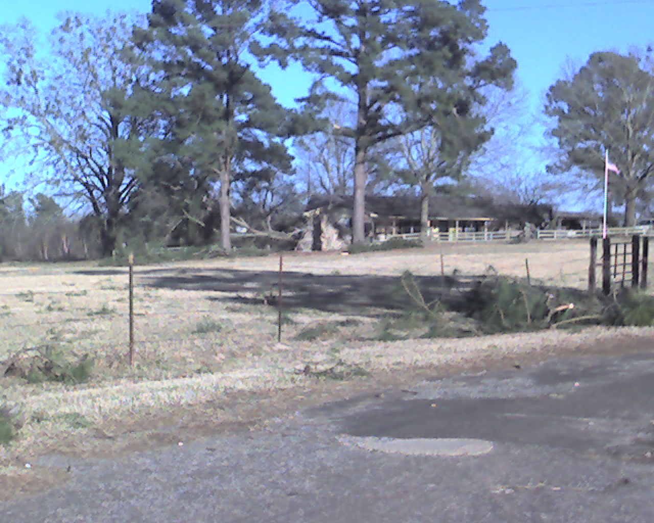
| The National Weather Service conducted a damage survey in an around the Arp, TX, area on Wednesday February 6th, 2008. The result of the damage survey show that an EF1 tornado with winds of 90-100 mph touched down 1 mile northeast of Arp and traveled along a path approximately 100 yards wide and 1 mile long. | ||||||||||||||||||||||||||||||||||||||||||||||||||||||||||||
|
TOTAL TORNADO COUNT = 1
|
||||||||||||||||||||||||||||||||||||||||||||||||||||||||||||
|
Tornado Table
Graphics
Photos
|
||||||||||||||||||||||||||||||||||||||||||||||||||||||||||||
| Back to Top | ||||||||||||||||||||||||||||||||||||||||||||||||||||||||||||


 Follow us on YouTube