
Heavy rain and widely scattered severe storms are expected over portions of the central and southern Plains into the Ohio Valley. Unseasonable warmth will continue for a few more days across the Midwest, Southeast, and Mid-Atlantic where several daily record highs could fall. Read More >
Grand Rapids, MI
Weather Forecast Office
Overview
A weather system located over central Canada spurned a frontal boundary that crossed Lake Michigan and caused strong thunderstorms Early morning September 21st, 2022. These storms caused gusty winds and severe hail.
Hail:
.png)
For more information go here:
If you are interested in the meteorological conditions of that day go here:
Hail Photos
As the storms intensifyed early the morning of the 21st, large hail occurred across central Michigan.
 |
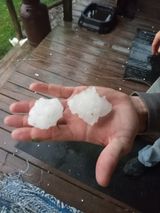 |
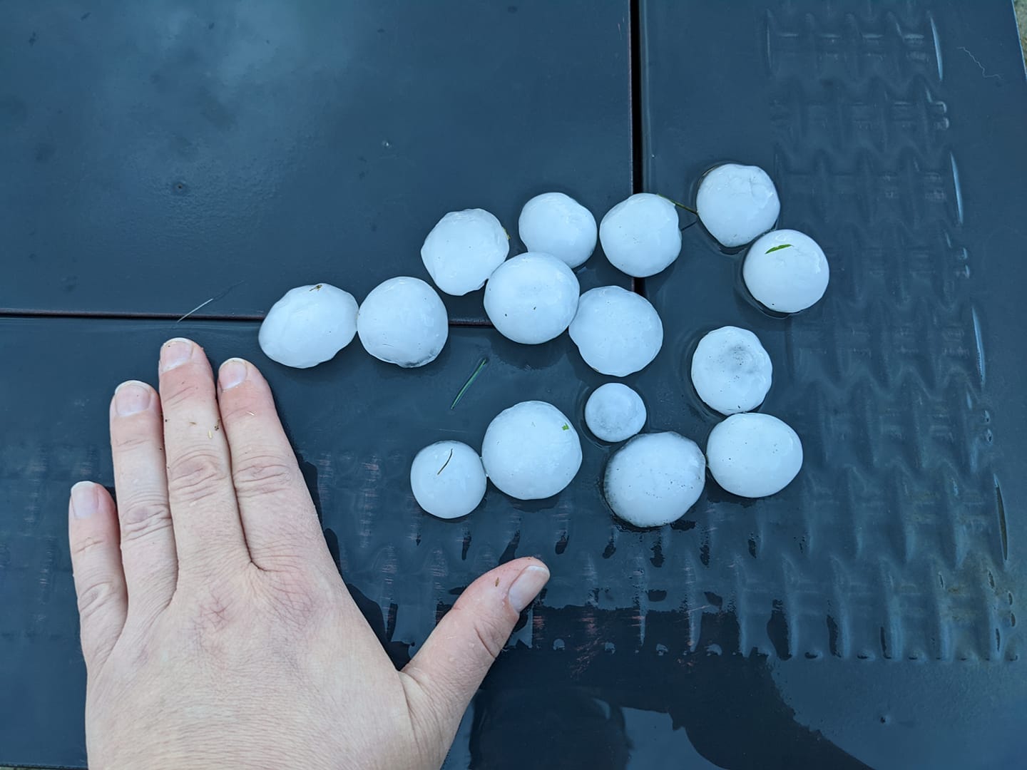 |
| Grant, MI Courtsey Becky Howard | Hail North of Clare and West of Gladwin Courtesy Angela Marie Issac |
Large Hail in Grand and Sand Lake, MI Courtesy of Tabitha Derby |
Radar
KGRR Reflectivity from 21st September, 2022 from 730AM to 9 AM
 |
Media use of NWS Web News Stories is encouraged! Please acknowledge the NWS as the source of any news information accessed from this site. |
|

US Dept of Commerce
National Oceanic and Atmospheric Administration
National Weather Service
Grand Rapids, MI
4899 Tim Dougherty Drive SE
Grand Rapids, MI 49512-4034
616-949-0643
Comments? Questions? Please Contact Us.


 Follow us on X
 Follow us on Facebook
 Follow us on YouTube
 GRR RSS Feed