
Dry and windy conditions, and some dry thunderstorms and lightning, may support hazardous fire activity in the northern Plains, high southern Plains and the Southwest this weekend. An active severe weather pattern is forecast for portions of the central and southern High Plains into the Upper Midwest through early the part of next week. Damaging winds, large hail, and tornadoes are possible. Read More >
Overview
April 22, 2016
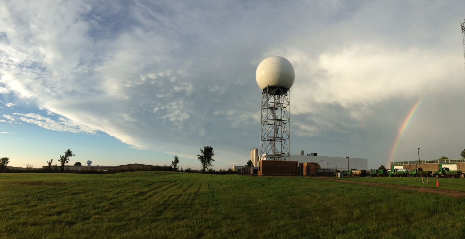
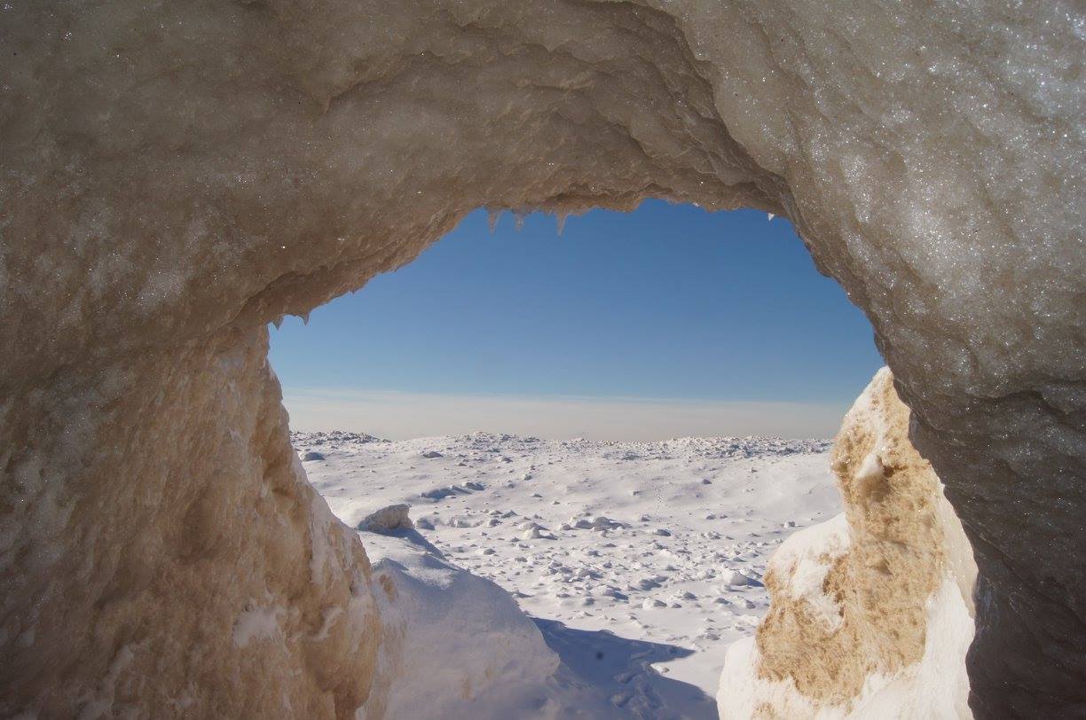
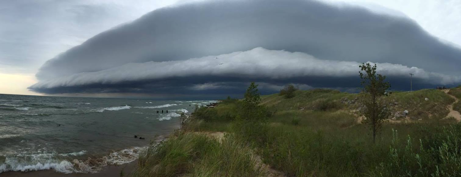
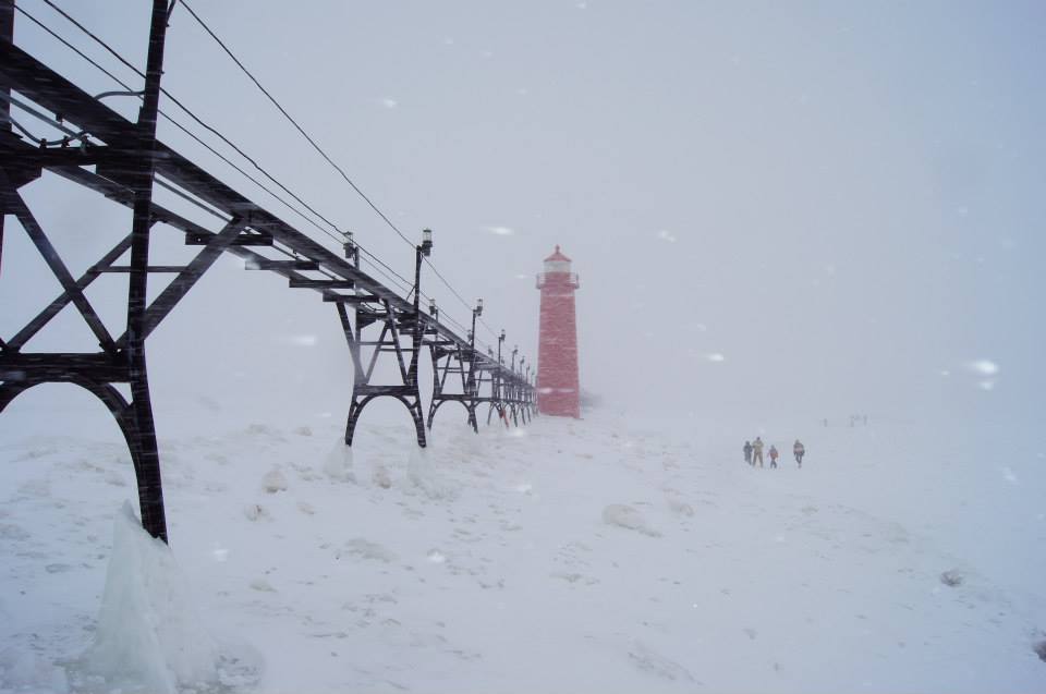
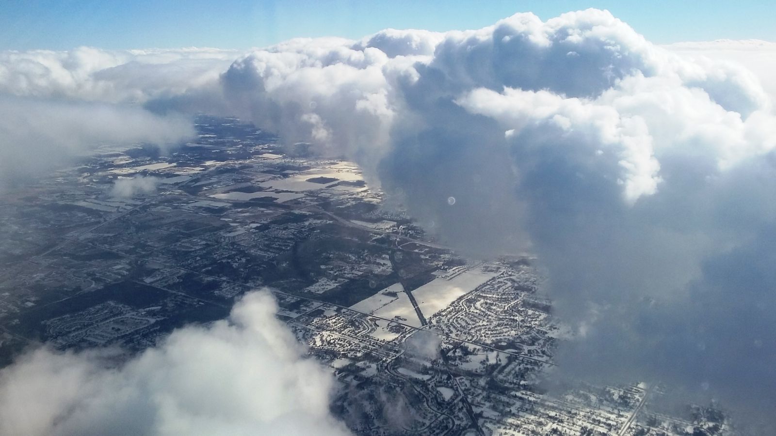
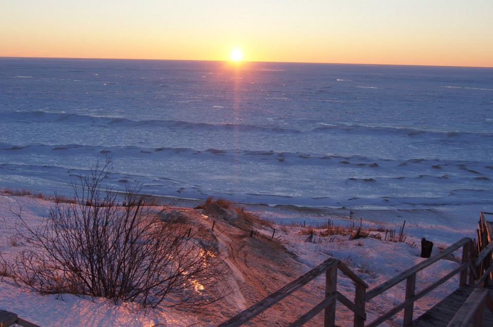
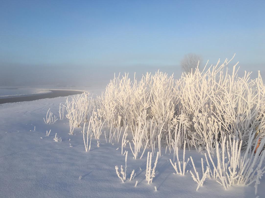
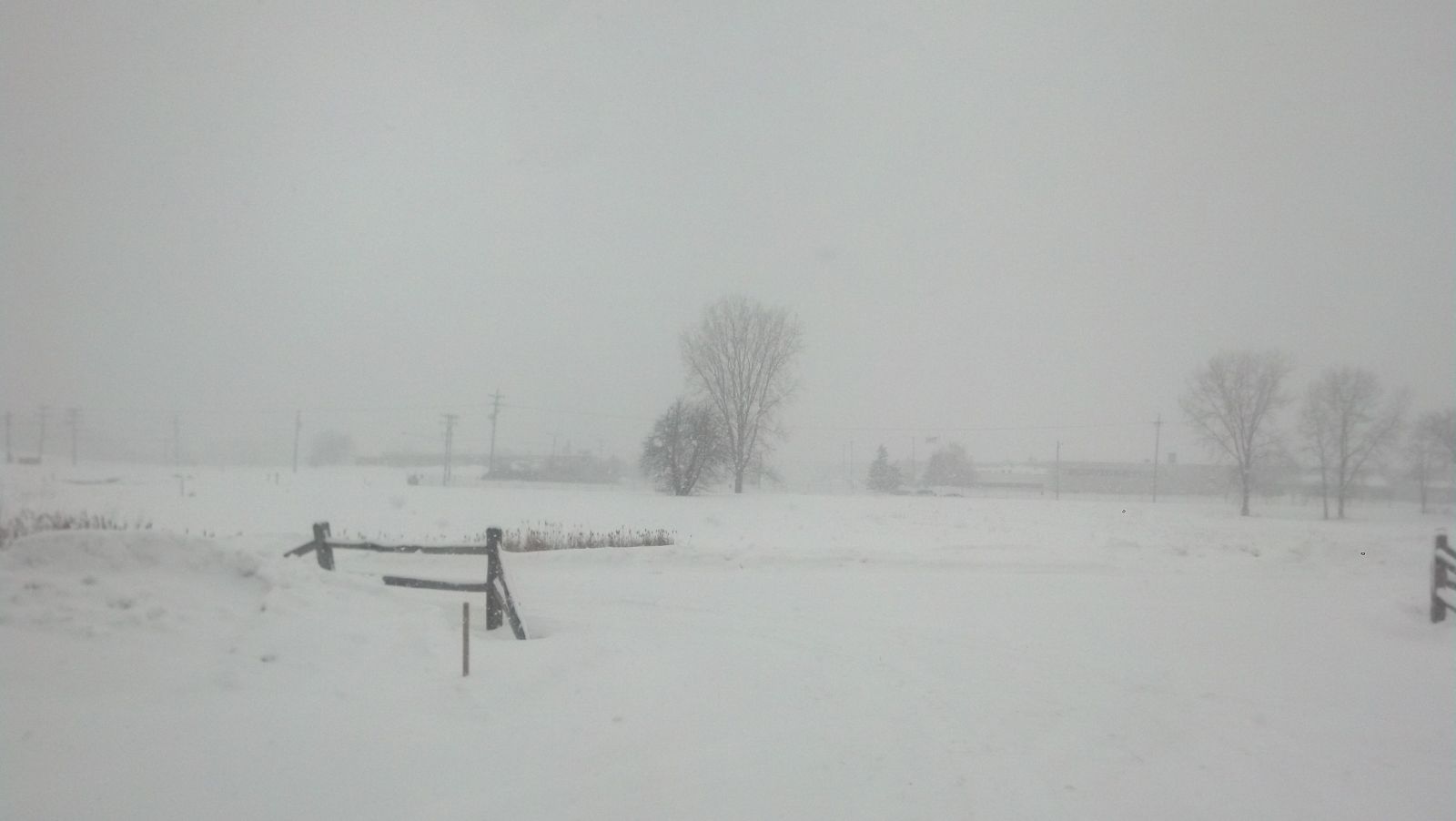
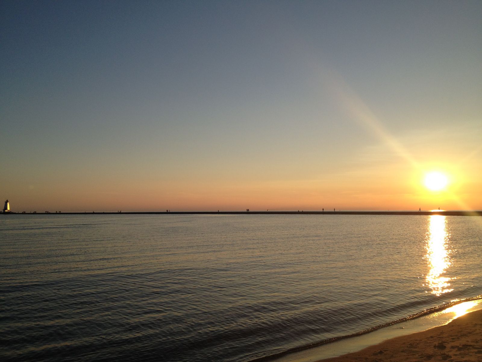
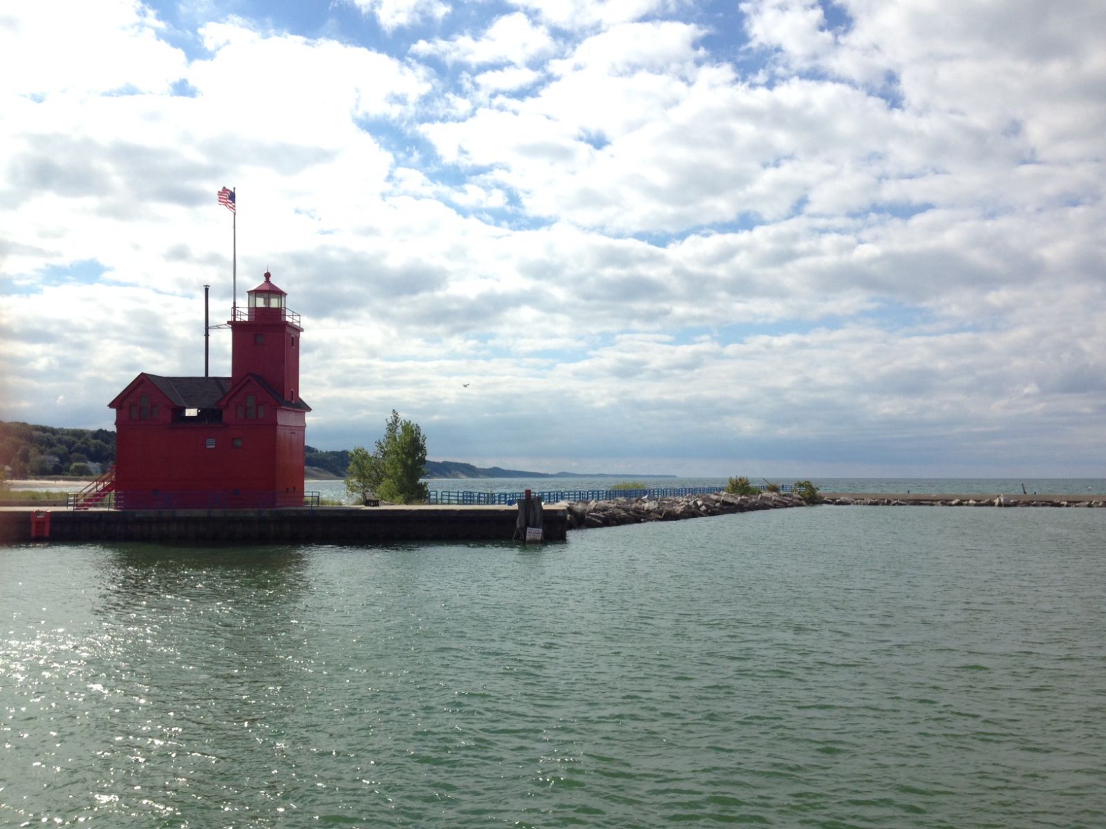
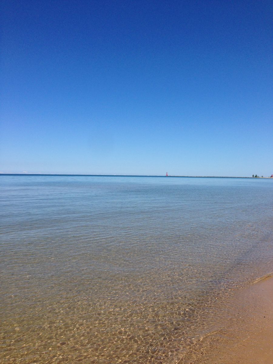
Every day is Earth Day at NWS! To celebrate our beautiful Earth, here is a collection of some of our favorite photos from around our slice of it here in Michigan.


At least 10 tornadoes touched down in Michigan in an outbreak on April 21, 1967, including an F3 tornado that tracked from Grandville to East Grand Rapids. This was the same outbreak that produced two tornadoes that killed 58 people in Oak Lawn, IL and Belvidere, IL. You can find photos here.
Damage from the F3 tornado on April 21, 1967. The tornado struck from Grandville to Ada. Photo credit: Ken Foster

Spotter Training Schedule:
Spotter Classes start promptly at the time listed below. Classes are free and open to the public. There is no registration required for the remaining classes this year.
Any questions, please email us at: w-grr.webmaster@noaa.gov
|
Date |
Time |
Location |
Sponsor |
|
Saturday, April 23, 2016 |
10:00am - 12:00pm |
Clare County Transportation Cabinet 1473 Transportation Drive Harrison, MI 48625 |
Clare County |
|
Saturday, April 23, 2016 |
2:00pm - 4:00pm |
Central Michigan University Brooks Hall - Room 176 |
Isabella County and Central Michigan University |
|
Saturday, April 30, 2016 |
10:00am - 12:00pm |
Alma College Swanson Academic Center 614 Superior Street Alma, MI |
Gratiot County |
 |
Media use of NWS Web News Stories is encouraged! |
|

