Dangerous heat will expand from the Gulf Coast into the Southern Plains and Desert Southwest through week's end. Additional extreme heat impacting the Pacific Northwest will shift to the northern Plains by the weekend. Tropical Storm Bertha is expected to continue to impact portions of the northern Gulf Coast from the western Florida Panhandle to southeastern Louisiana through tonight. Read More >
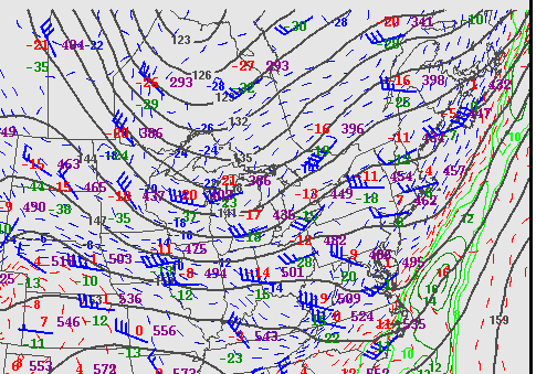
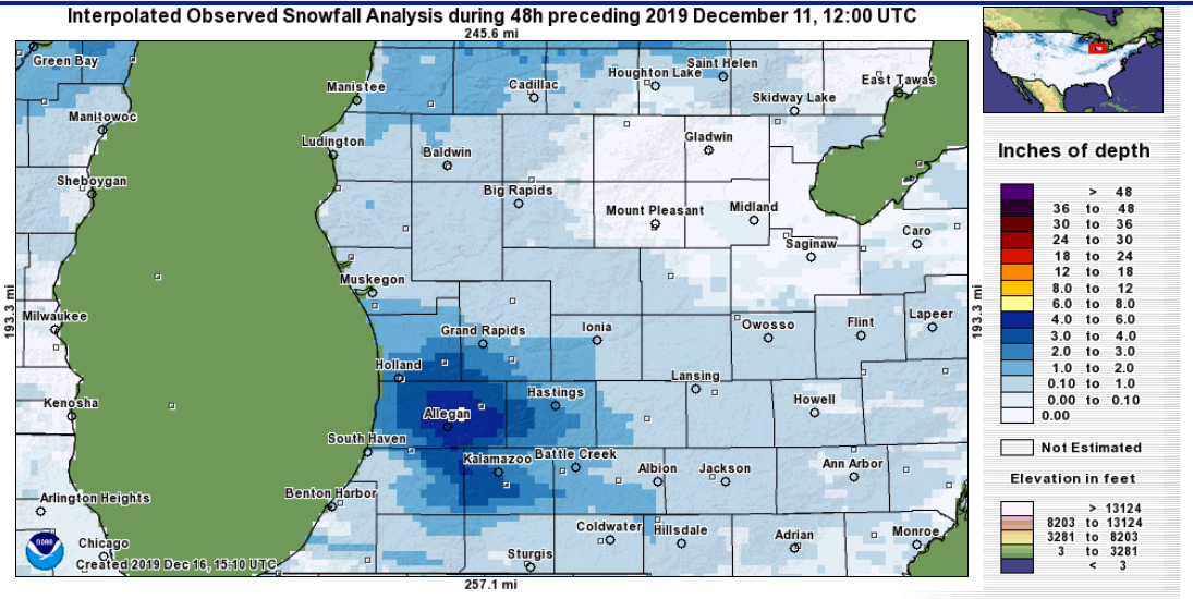
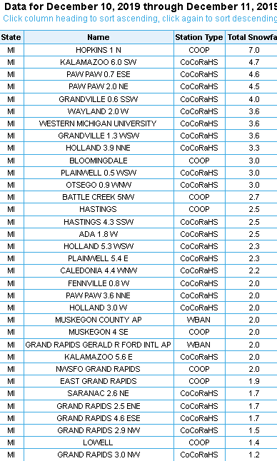
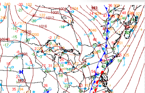
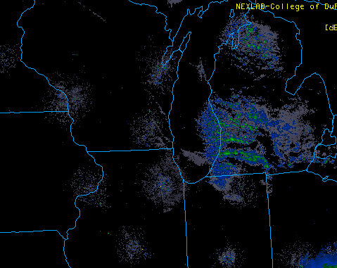
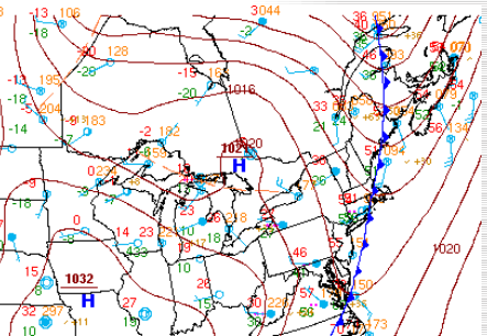
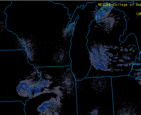
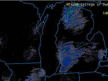
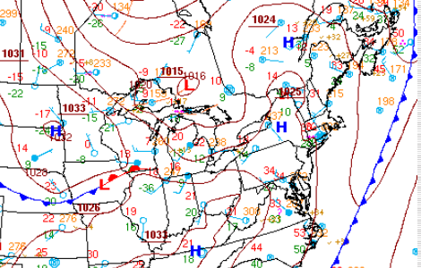
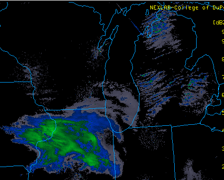
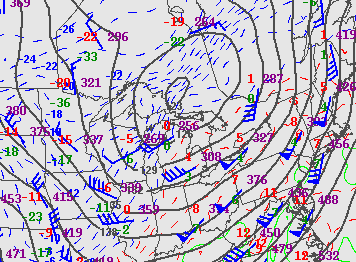
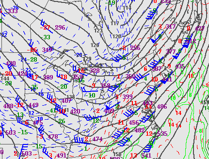
This was a near classic northwest flow lake snow event. There was a 992 mb low that tracked across northern Michigan on the evening of the 09th, that quickly moved northeast into Canada by the morning of the 10th. This set the stage for the coldest air of the season to come into Michigan on northwest winds. Temperatures at the start of the day on the 10th were in the lower 30s, by sunrise temperatures fell into the mid 20s and then continued to fall on gusty northwest winds into the lower 20s by evening on the 10th. It was from mid morning on the 10th through about midnight that most of accumulating snow fell.
.PNG)