
Dangerous and extreme heat will remain across portions of the southern U.S. through the weekend. A heat wave over the Southwest U.S. will intensify this week, peaking and expanding into the Intermountain West and northern High Plains this weekend. Multiple rounds of thunderstorms will produce heavy to excessive rainfall with significant flash flooding across portions of southern New England. Read More >
Grand Rapids, MI
Weather Forecast Office
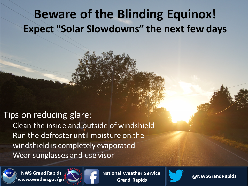
This time of year, near the equinox's, the angle of the sun is almost directly aligned with east to west orientated roads after sunrise and before sunset. So, if heading east in the morning or west in the evening along east/west roads you can expect a significant glare. For the next week or so, you can expect on sunny days, glare and potential slowdowns from 730am-800am or so in the morning and from 700pm-740pm in the evening.
US Dept of Commerce
National Oceanic and Atmospheric Administration
National Weather Service
Grand Rapids, MI
4899 Tim Dougherty Drive SE
Grand Rapids, MI 49512-4034
616-949-0643
Comments? Questions? Please Contact Us.

