
Widespread life-threatening flash and urban flooding continues in south-central Texas, with considerable flooding impacts possible across central Texas. Wildfire smoke is impacting air quality across much of the Great Lakes region into southern New England and the Mid-Atlantic. Monsoonal thunderstorms may produce isolated to scattered flash flooding across the Southwest into the Great Basin. Read More >
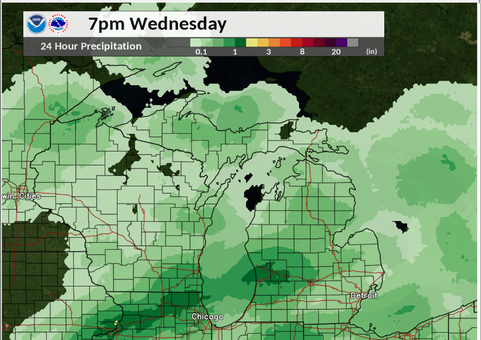
Radar Storm Total Precipitation for 24 hours ending Wednesday December 30, 2020 7 pm
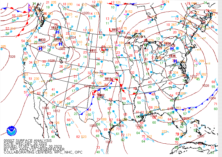
Surface Map for Tuesday 7 pm December 29, 2020
Surface Map for Wednesday 1 pm December 30, 2020
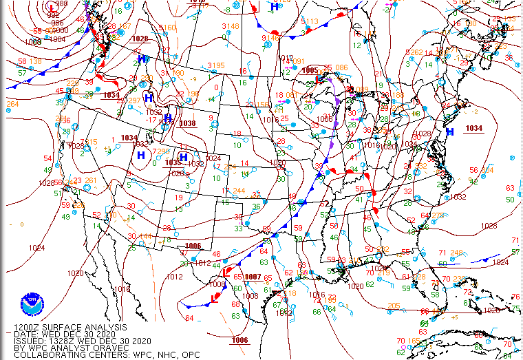
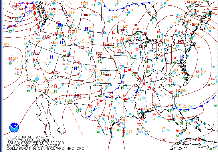
Surface Map for Wednesday 7 am December 30, 2020
 |
Media use of NWS Web News Stories is encouraged! |
|

