Wildfire smoke will push into the Midwest, worsening air quality. A frontal system brings severe storms from the Northern Plains to the Mid‑Atlantic the next few days. Heavy Gulf Coast rain is possible as Tropical Depression Two has formed, while monsoonal storms persist in the Southwest with heavy rainfall. Hazardous heat expands from the Plains into the Lower Mississippi Valley. Read More >
Grand Rapids, MI
Weather Forecast Office
Heavy Rain Event Overview
|
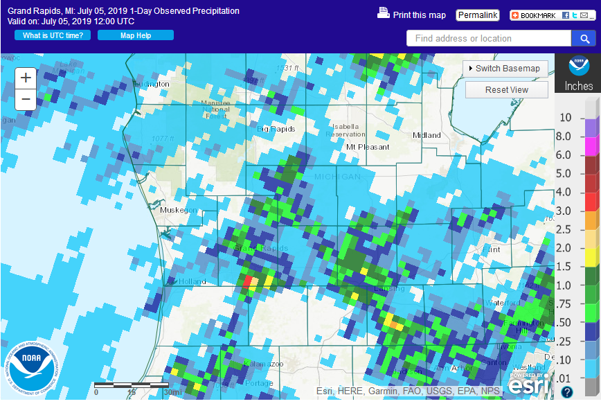
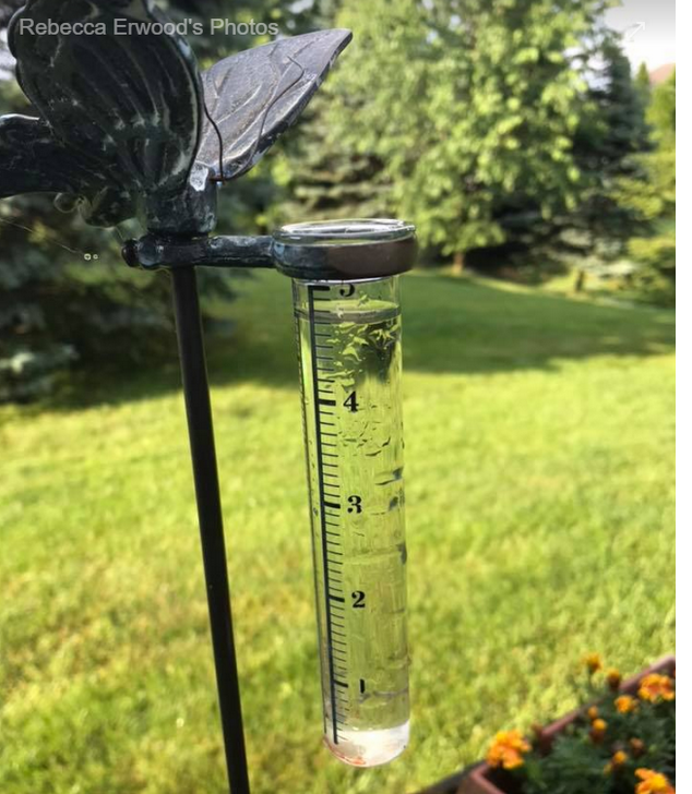
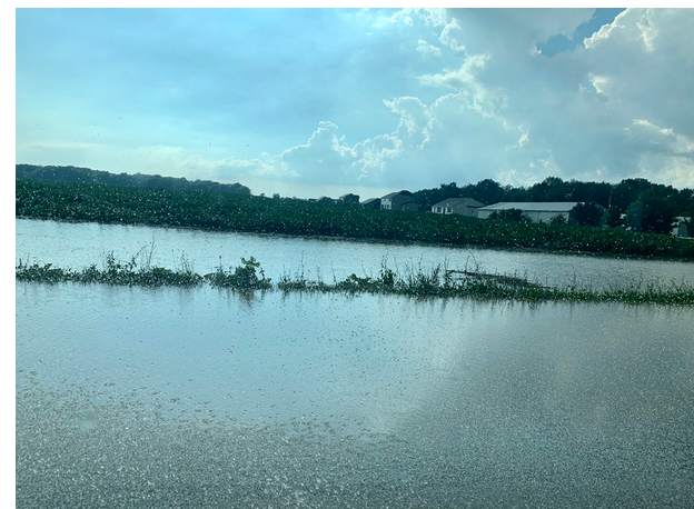
On the evening of July 4th, 2019, a combination of an unstable atmosphere and lake breeze caused thunderstorms do develop early in the afternoon. Interactions of various outflow boundaries caused the storms nearly stall near Caledonia. This caused minor flooding as up to 5 inches of rain fell in less than 3 hours over this area. It’s worth noting, convection can bring some very localized locations heavy rainfall, like the nearly 5 inches for rain that fell on Caledonia, while just a few miles away in west Grandville only 0.04” fell during the same time. Gerald R. Ford Airport received 1.16” during this time. Note: Since most of this was at least partly the result of the lake breeze boundary interacting with the afternoon instability, areas near Lake Michigan got little or no rain in the past 3 days prior to July 4th.
|
 |
Media use of NWS Web News Stories is encouraged! Please acknowledge the NWS as the source of any news information accessed from this site. |
|
US Dept of Commerce
National Oceanic and Atmospheric Administration
National Weather Service
Grand Rapids, MI
4899 Tim Dougherty Drive SE
Grand Rapids, MI 49512-4034
616-949-0643
Comments? Questions? Please Contact Us.