
Tropical Depression Two is expected to gradually strengthen and could bring tropical storm conditions to the Florida Panhandle beginning late Monday. Areas of flash flooding will be possible through Thursday along the eastern and central Gulf Coast. Severe thunderstorms will develop and move along a cold front crossing the Upper Midwest Monday, and through the Ohio Valley/Mid-Atlantic on Tuesday. Read More >
Hazardous Travel
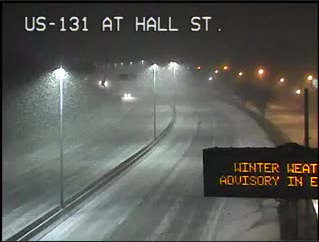
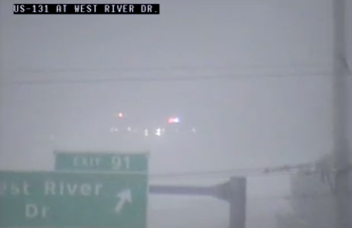
The combination of falling snow, gusty winds, and light snow led to considerable blowing snow restricting visibilities across Low Michigan for a prolonged period of time. In many areas, visibility was at or below 3 miles for days in a row, with periods of at or below 1/4 of a mile. Check out the webcams showing the low visibilities below:
|
I-96 at Okemos road |
M-44 at M-44 Connector |
US-131 at Hall Road |
|
US 131 at West River Drive |
US 131 at West River Drive |
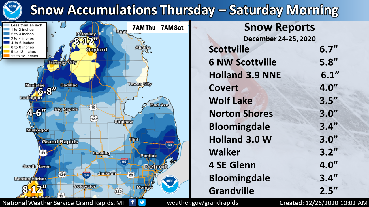
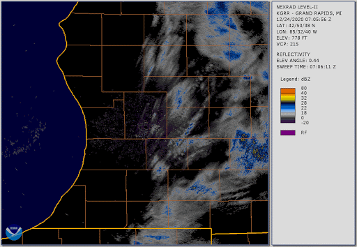
December 24th-25th, 2020 : Radar Loop:
As a low pressure system moved through the Great Lakes region, this system brought westerly winds and snow bands December 24th, 2020 bringing reduced visibility and several inches of snow. A second swath of snow in the form of lake effect came from the northwest and brought heavy snow to Benton Harbor, MI, South Bend IN and Scottsville MI.
 |
Media use of NWS Web News Stories is encouraged! |
|


.png)