New Orleans/Baton Rouge
Weather Forecast Office
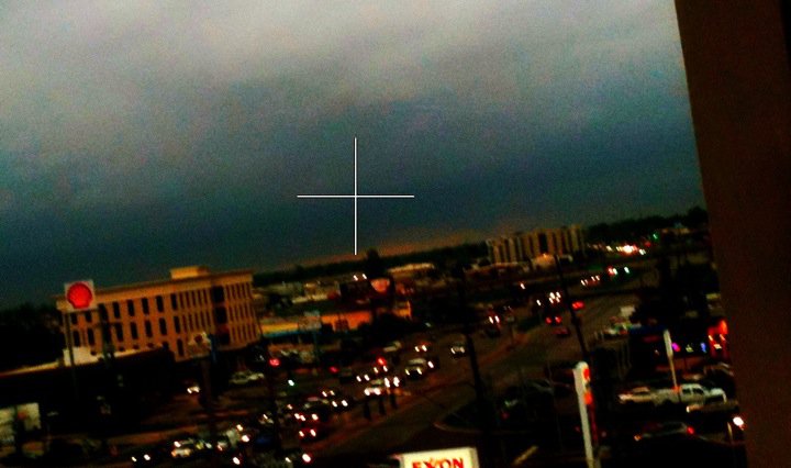
Severe Weather Across Southeast LouisianaMarch 29, 2011A warm front moved out of the Gulf across Southeast Louisiana during the afternoon hours of Wednesday, March 29th. Thunderstorms developed along the warm front that became severe in intensity, producing numerous reports of large hail, very high winds and isolated tornadoes. NWS survey teams from WFO New Orleans/Baton Rouge found 2 separate short-lived weak tornado tracks - an EF1 in Delacroix and a EF0 in Edgard. In addition, a large swath of straight line wind damage occurred across portions of the West Bank of the Greater New Orleans Area.
A snap shot of a funnel cloud near Edgard, LA on March 29, 2011 (behind building right of center) Damage Surveys: |
Current Hazards
Storm Prediction Center
Extended Outlooks
Outlooks
Fire Manager Quick Brief
Briefing Page
Forecasts
Hourly Weather Graph
Air Quality Forecasts
Marine Forecast
Activity Planner
River Forecasts
Tropical Forecast
Forecast Discussion
Aviation Weather Forecast
Graphical Forecast
Weather Models and Maps
Fire Weather Forecast
US Dept of Commerce
National Oceanic and Atmospheric Administration
National Weather Service
New Orleans/Baton Rouge
62300 Airport Rd.
Slidell, LA 70460-5243
504.522.7330 985.649.0429
Comments? Questions? Please Contact Us.


