New Orleans/Baton Rouge
Weather Forecast Office
Livingston Parish Tornado - March 26, 2009
|
Rating:
|
EF-0
|
|
Estimated Maximum Wind:
|
70-80 mph
|
|
Injuries/Fatalities:
|
None
|
|
Damage Path Length:
|
1.5 miles
|
|
Maximum Path Width:
|
150 yards
|
|
Approximate Start Point/Time:
|
5 miles west of Killian, LA at 1128 pm
|
|
Approximate End Point/Time:
|
5 miles west of Killian, LA at 1129 pm
|
|
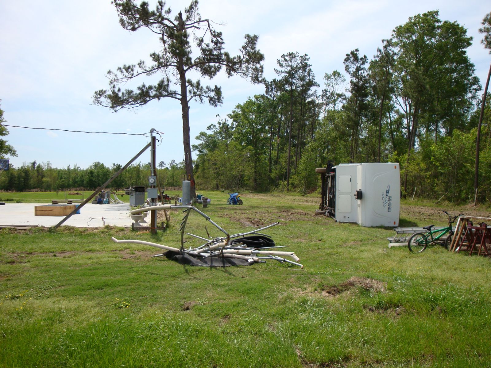
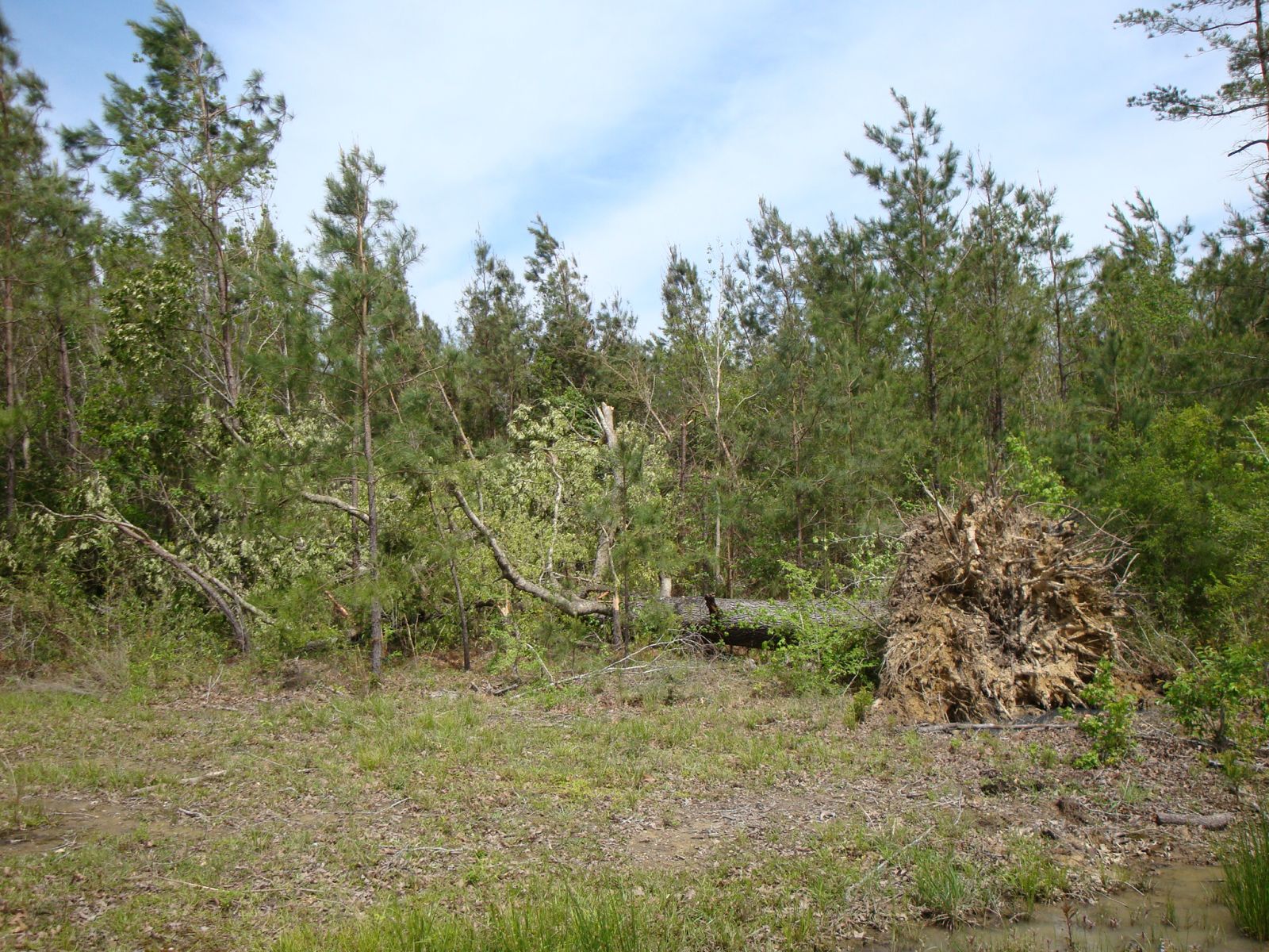
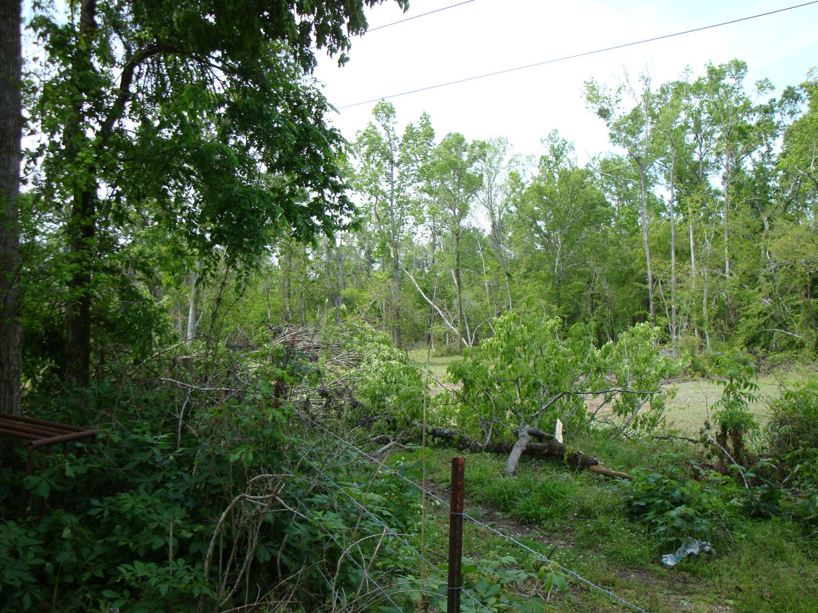
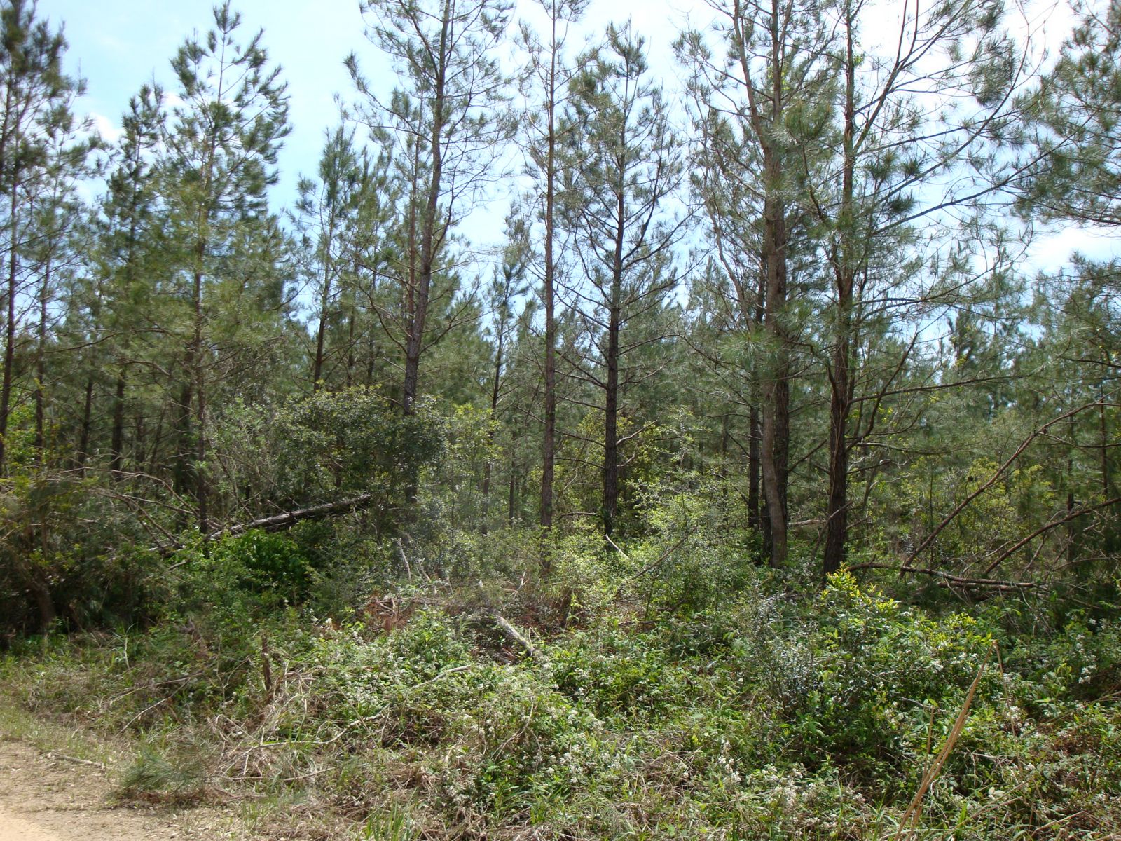
A National Weather Service Damage Assessment Team has surveyed the storm damage in Livingston Parish. It has been determined the damage was the result of a tornado. The tornado has been rated an EF-0 on the Enhanced Fujita Scale. Damage estimates were consistent with winds between 70 & 80 mph. The tornado touched down south of Miller Road. This location is approximately 5 miles west of Killian. The tornado tracked northward for about one and a half miles. The most significant damage occurred as the tornado crossed Miller Road. Numerous hardwood and softwood trees were snapped off and uprooted along the tornado damage path. The tornado damage path was 1 & 1/2 of a mile long and was 150 yards wide at its widest point. No injuries or fatalities were reported. |
|
|
||||||||||||
Current Hazards
Extended Outlooks
Outlooks
Fire Manager Quick Brief
Briefing Page
Storm Prediction Center
Forecasts
Marine Forecast
Activity Planner
River Forecasts
Tropical Forecast
Forecast Discussion
Aviation Weather Forecast
Graphical Forecast
Weather Models and Maps
Fire Weather Forecast
Hourly Weather Graph
Air Quality Forecasts
US Dept of Commerce
National Oceanic and Atmospheric Administration
National Weather Service
New Orleans/Baton Rouge
62300 Airport Rd.
Slidell, LA 70460-5243
504.522.7330 985.649.0429
Comments? Questions? Please Contact Us.