New Orleans/Baton Rouge
Weather Forecast Office
Slidell, LA Tornado - March 26, 2009
|
Rating:
|
EF-0
|
|
Estimated Maximum Wind:
|
65 mph
|
|
Injuries/Fatalities:
|
None
|
|
Damage Path Length:
|
250 yards
|
|
Maximum Path Width:
|
25 yards
|
|
Approximate Start Point/Time:
|
Devonshire and Admiral Nelson Dr. Slidell, LA 343 AM
|
|
Approximate End Point/Time:
|
Dunkirk and Admiral Nelson Dr. Slidell, LA 343 AM
|
|
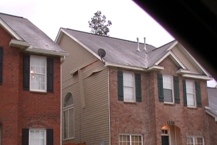
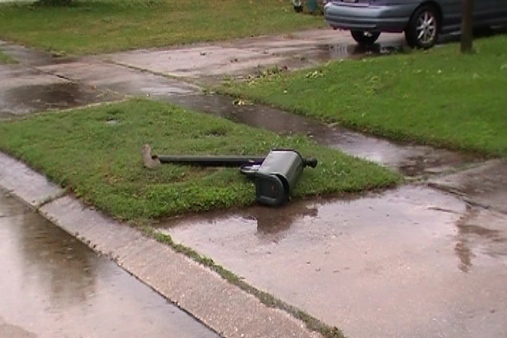
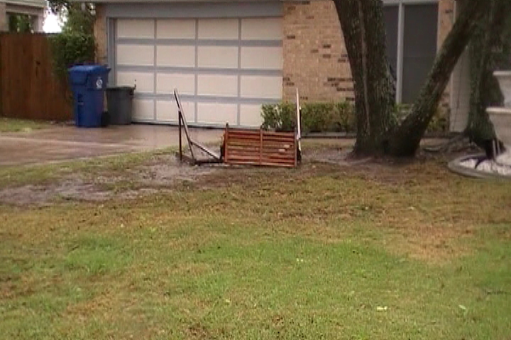
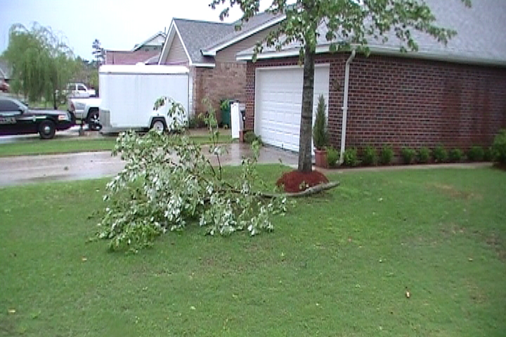
A National Weather Service Damage Assessment Team has surveyed the storm damage in Slidell, LA. It has been determined the damage was the result of a tornado. The tornado has been rated an EF-0 on the Enhanced Fujita Scale. Damage estimates were consistent with winds of approximately 65 mph. Very weak tornado moved through the Springhill Subdivision with minor tree damage and minor damage to a home observed. The damage occurred on Admiral Nelson Dr. The tornado damage path was 250 yards long and was 25 yards wide at its widest point. No injuries or fatalities were reported. |
|
|
||||||||||||
Current Hazards
Outlooks
Fire Manager Quick Brief
Briefing Page
Storm Prediction Center
Extended Outlooks
Forecasts
Activity Planner
River Forecasts
Tropical Forecast
Forecast Discussion
Aviation Weather Forecast
Graphical Forecast
Weather Models and Maps
Fire Weather Forecast
Hourly Weather Graph
Air Quality Forecasts
Marine Forecast
US Dept of Commerce
National Oceanic and Atmospheric Administration
National Weather Service
New Orleans/Baton Rouge
62300 Airport Rd.
Slidell, LA 70460-5243
504.522.7330 985.649.0429
Comments? Questions? Please Contact Us.