St. Amant Tornado - March 26, 2009
|
Rating:
|
EF-1
|
|
Estimated Maximum Wind:
|
100-110 mph
|
|
Injuries/Fatalities:
|
1 injury
|
|
Damage Path Length:
|
1.75 miles
|
|
Maximum Path Width:
|
50 yards
|
|
Approximate Start Point/Time:
|
2 miles ENE of Gonzales, LA at 1112 pm
|
|
Approximate End Point/Time:
|
4 miles NE of Gonzales, LA at 1115 pm
|
|
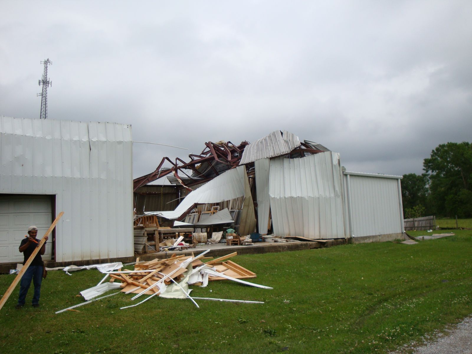
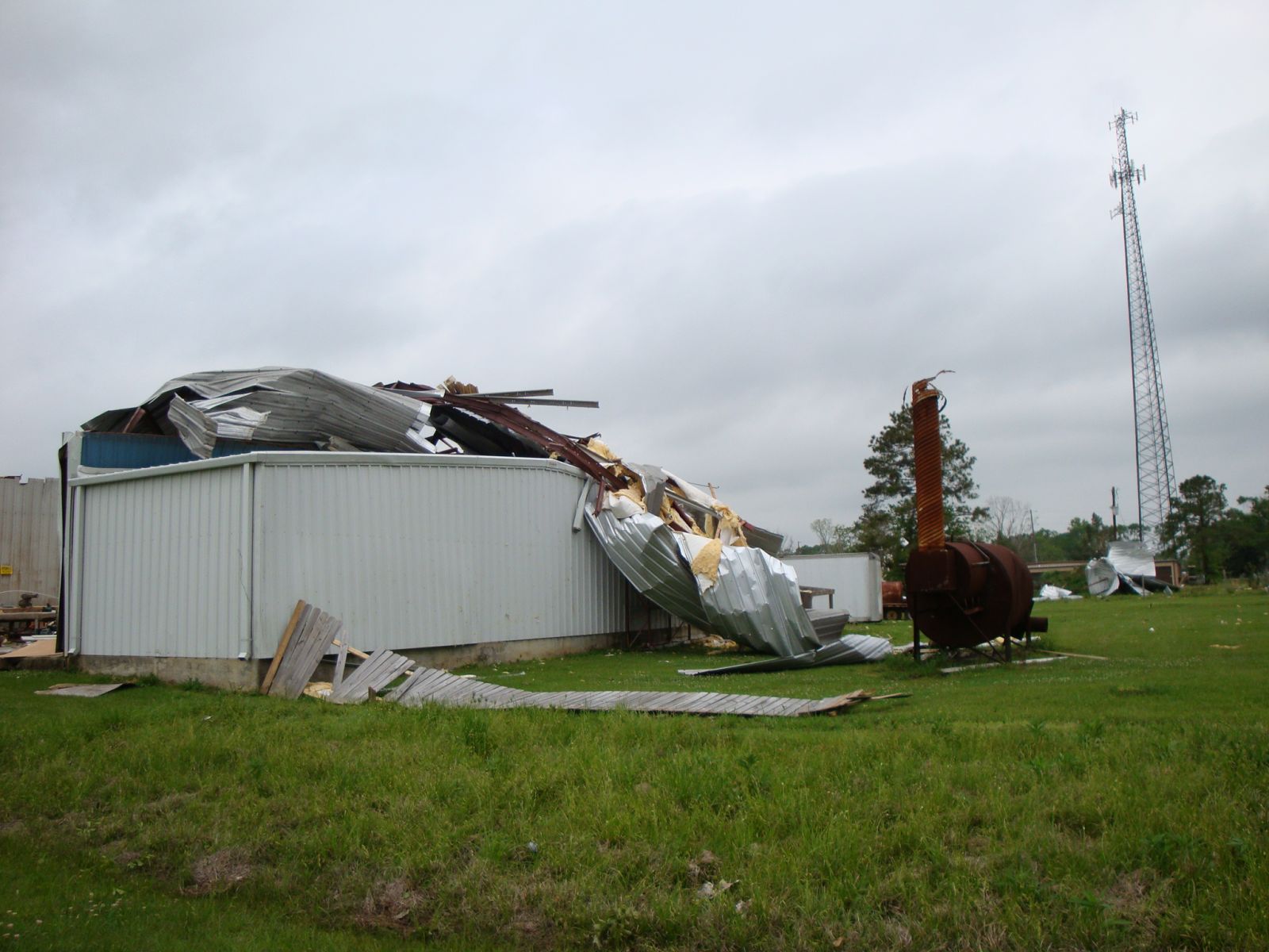
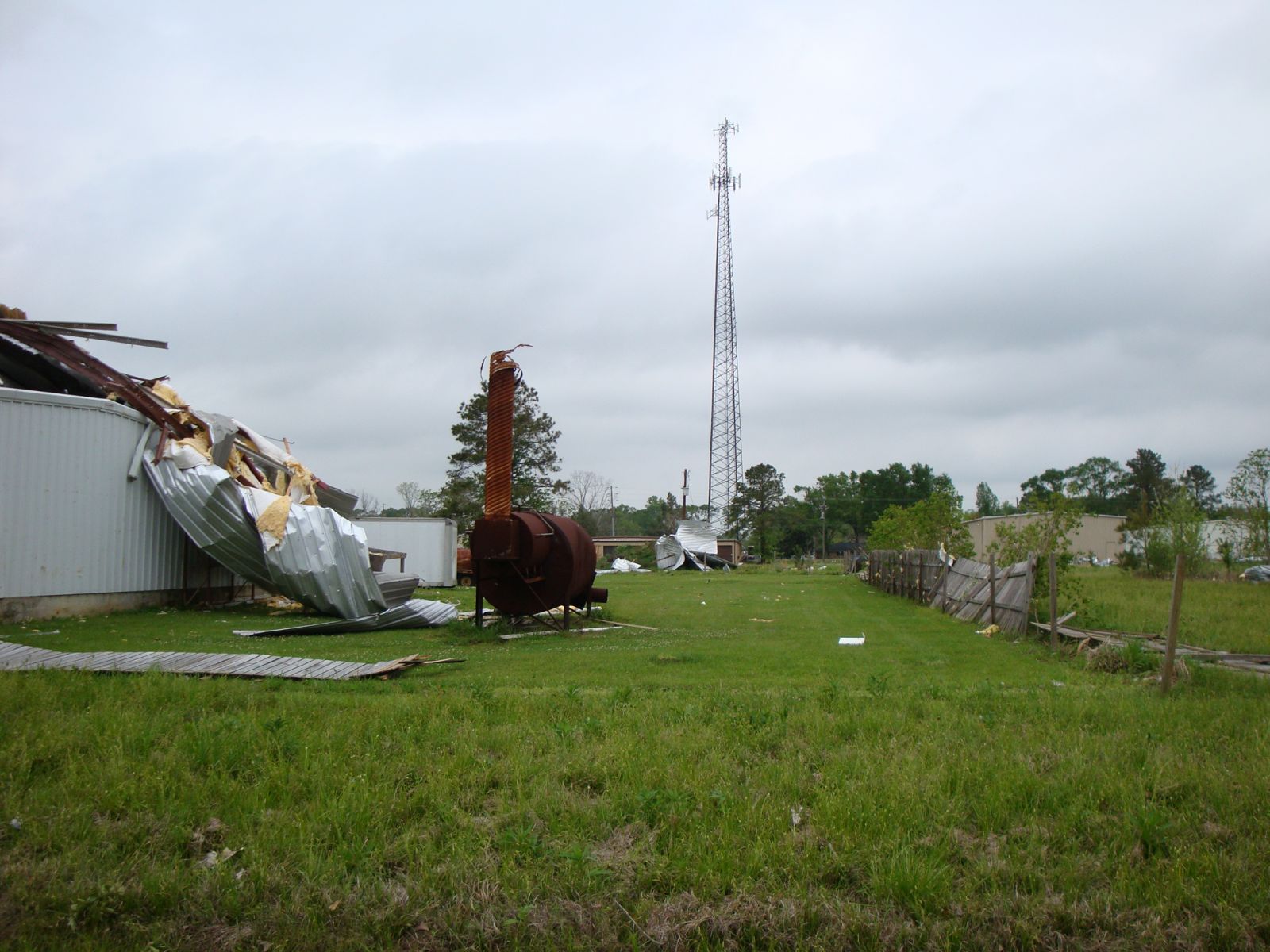
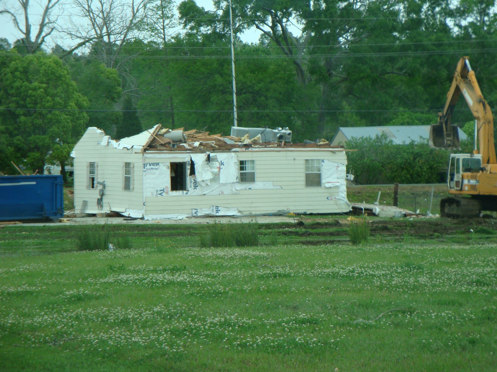
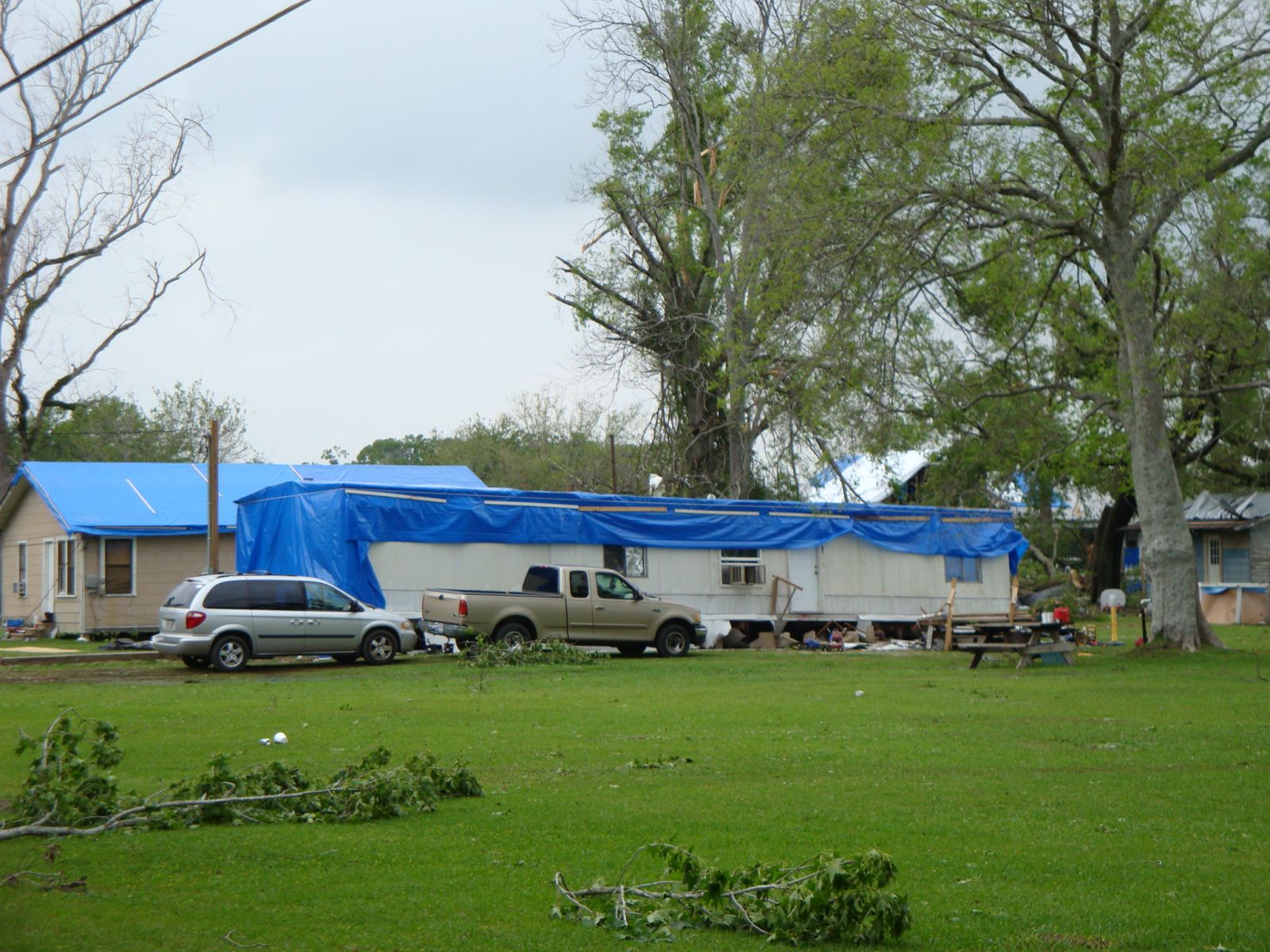
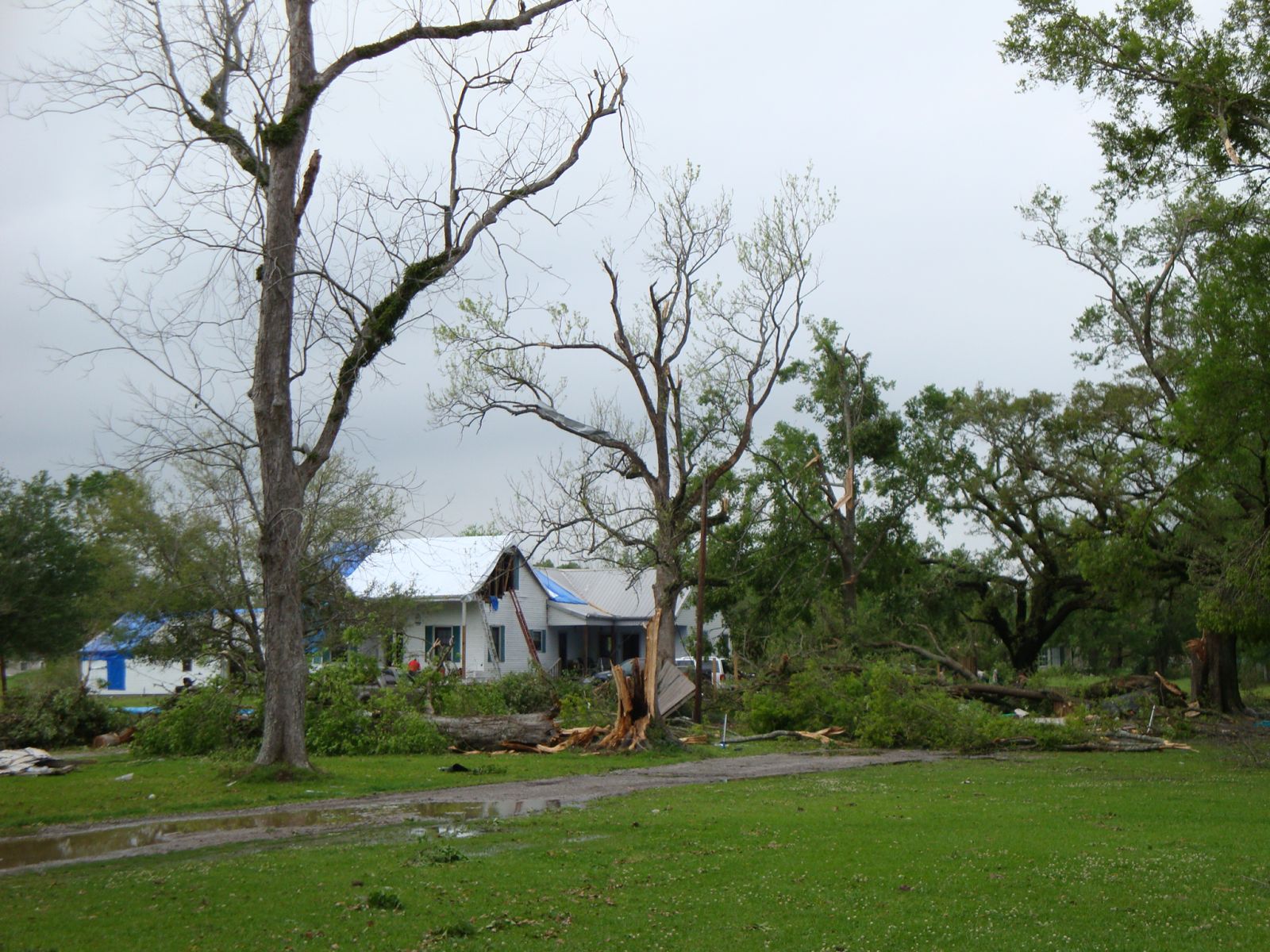
A National Weather Service Damage Assessment Team has surveyed the storm damage in the community of St. Amant in Ascension Parish. It has been determined the damage was the result of a tornado. The tornado has been rated an EF-1 on the Enhanced Fujita Scale. Damage estimates were consistent with winds between 100 & 110 mph. The tornado touched down south of Weber City Road. This location is approximately 2 miles east-northeast of Gonzales. The tornado tracked to the northeast for about one and three quarter miles. The most significant damage occurred as the tornado crossed Daigle Road and LA State Hwy 431. A large metal commercial building was destoryed and several structures suffered moderate to severe damage. Numerous hardwood and softwood trees were snapped off and uprooted along the tornado damage path. The tornado damage path was 1 & 3/4 of a mile long and was 50 yards wide at its widest point. One injury was reported. |
|
|
||||||||||||||||