New Orleans/Baton Rouge
Weather Forecast Office
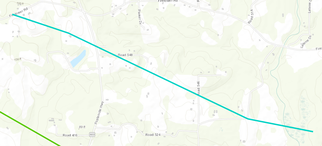
Kiln, MS Tornado - April 10, 2024
|
Rating:
|
EF-0
|
|
Estimated Maximum Wind:
|
85 mph
|
|
Injuries/Fatalities:
|
None
|
|
Damage Path Length:
|
2.79 miles
|
|
Maximum Path Width:
|
150 yards
|
|
Approximate Start Point/Time:
|
2 miles NNW of Kiln, MS at 1031 AM CDT
|
|
Approximate End Point/Time:
|
2 mile NE of Kiln, MS at 1034 AM CDT
|
|
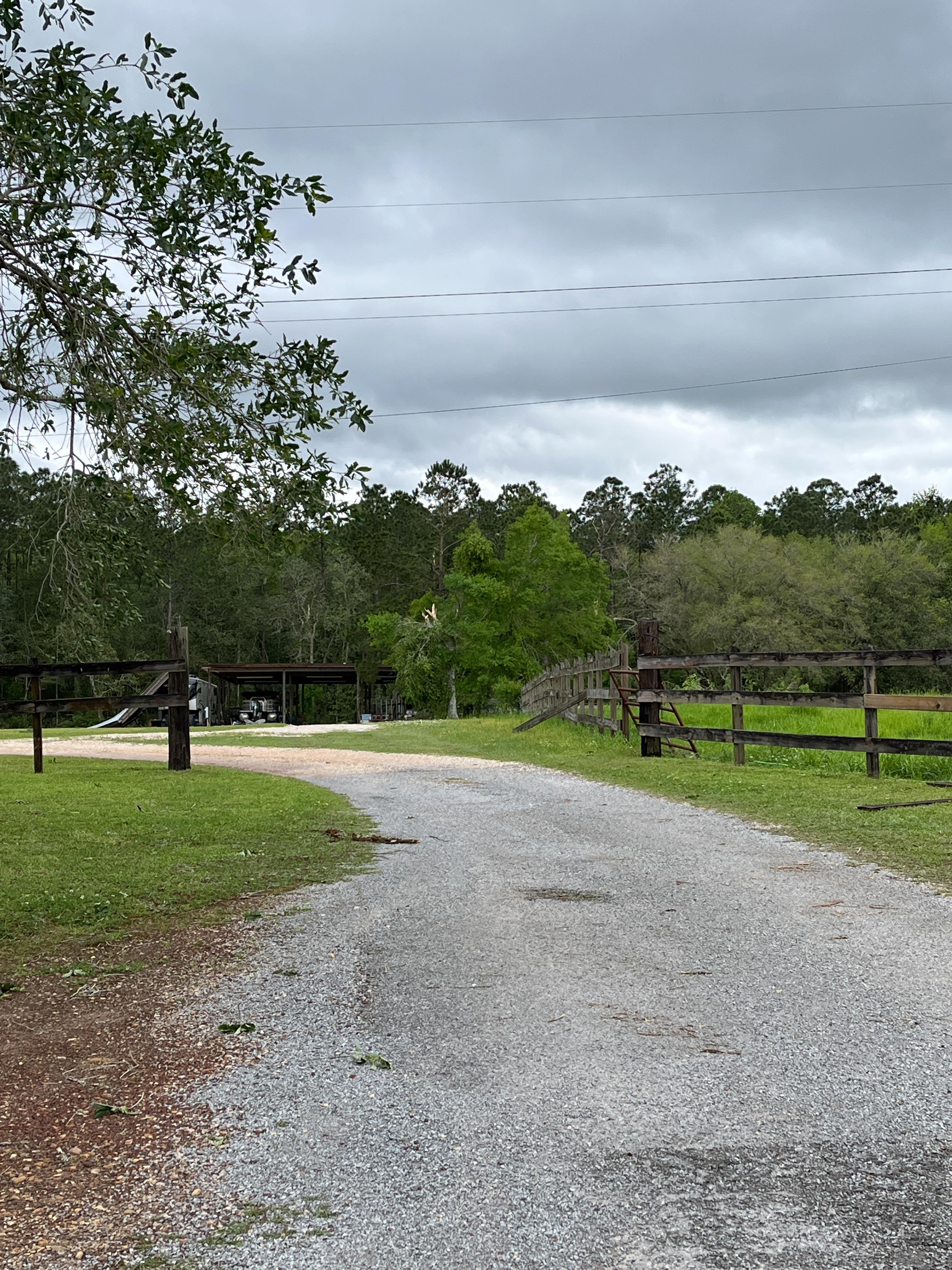
A National Weather Service Damage Assessment Team has surveyed the storm damage in Kiln, MS. It has been determined the damage was the result of a tornado. The tornado has been rated an EF-0 on the Enhanced Fujita Scale. Damage estimates were consistent with winds of 100 mph. High resolution satellite imagery aided in identifying yet another embedded tornado that trailed the parent mesovortex that tracked through the area. More localized tree damage in addition to an evident damage path on NDVI differencing helped to confirm the existence of this tornado which tracked from Firetower Road east-southeastward to Old Joe Moran Road. The end point is estimated per satellite imagery which occurred over inaccessible rural lands. |
|
|
|
|
||||||||||
Current Hazards
Outlooks
Fire Manager Quick Brief
Briefing Page
Storm Prediction Center
Extended Outlooks
Forecasts
Forecast Discussion
Aviation Weather Forecast
Graphical Forecast
Weather Models and Maps
Fire Weather Forecast
Hourly Weather Graph
Air Quality Forecasts
Marine Forecast
Activity Planner
River Forecasts
Tropical Forecast
US Dept of Commerce
National Oceanic and Atmospheric Administration
National Weather Service
New Orleans/Baton Rouge
62300 Airport Rd.
Slidell, LA 70460-5243
504.522.7330 985.649.0429
Comments? Questions? Please Contact Us.