Multiple rounds of strong to severe thunderstorms may produce very large hail, swaths of damaging wind, a few tornadoes and heavy rain across parts of Texas into the lower Mississippi and Tennessee Valleys. Gusty winds and dry conditions will continue to promote elevated to critical fire weather conditions across the southern High Plains. Read More >
New Orleans/Baton Rouge
Weather Forecast Office
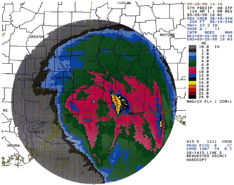
Radar Estimated Precipitation

Current Hazards
Extended Outlooks
Outlooks
Fire Manager Quick Brief
Briefing Page
Storm Prediction Center
Forecasts
Activity Planner
River Forecasts
Tropical Forecast
Forecast Discussion
Aviation Weather Forecast
Graphical Forecast
Weather Models and Maps
Fire Weather Forecast
Hourly Weather Graph
Air Quality Forecasts
Marine Forecast
US Dept of Commerce
National Oceanic and Atmospheric Administration
National Weather Service
New Orleans/Baton Rouge
62300 Airport Rd.
Slidell, LA 70460-5243
504.522.7330 985.649.0429
Comments? Questions? Please Contact Us.

