Severe thunderstorms and the threat for excessive rainfall will move into the mid-Mississippi and lower Ohio Valleys today. There is potential for a few strong tornadoes, damaging wind gusts, large hail, and scattered flash flooding. Low humidity and windy conditions will continue to produce elevated to critical fire weather conditions across the southern High Plains into midweek. Read More >
New Orleans/Baton Rouge
Weather Forecast Office
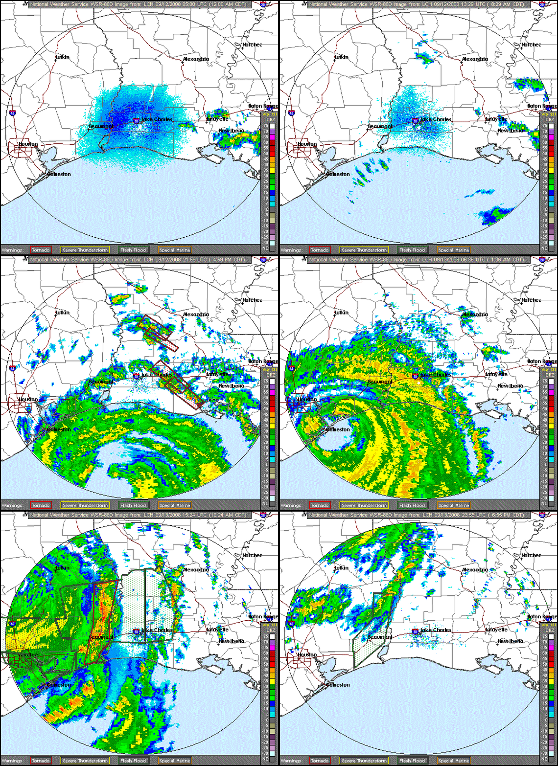
Please note that this is a large file and is not recomended for viewing over dial-up connections.

Current Hazards
Outlooks
Fire Manager Quick Brief
Briefing Page
Storm Prediction Center
Extended Outlooks
Forecasts
Forecast Discussion
Aviation Weather Forecast
Graphical Forecast
Weather Models and Maps
Fire Weather Forecast
Hourly Weather Graph
Air Quality Forecasts
Marine Forecast
Activity Planner
River Forecasts
Tropical Forecast
US Dept of Commerce
National Oceanic and Atmospheric Administration
National Weather Service
New Orleans/Baton Rouge
62300 Airport Rd.
Slidell, LA 70460-5243
504.522.7330 985.649.0429
Comments? Questions? Please Contact Us.

