National Weather Service United States Department of Commerce

Severe Weather and Excessive Rain in the Ohio and Tennessee Valley; Dangerous Heat in the South

Widespread strong to severe thunderstorms may produce large hail, damaging wind gusts, a few tornadoes, and flash flooding across parts of the lower Missouri Valley into the Ohio and Tennessee Valleys. Dangerous and potentially record-breaking heat continues across parts of Texas, the western Gulf Coast, southern Florida, and Puerto Rico. Read More >

Click a location below for detailed forecast.

Last Map Update: Sun, May. 26, 2024 at 8:33:54 am CDT

National Weather Service Shreveport, LANational Weather Service Jackson, MississippiNational Weather Service NWS Birmingham, Alabama
National Weather Service Lake Charles, LAZoom
Out

National Weather Service Mobile/Pensacola

Tonight will see partly cloudy skies with warm temperatures in the low to mid 70s. The rest of your Memorial Day Weekend Forecast will include hot temperatures in the afternoon with highs in the low to mid 90's. Afternoon heat indices in the upper 90's to low to mid 100's can be expected. Primarily dry, but can't rule out an isolated shower on Memorial Day.


CoCoRaHS
CoCoRaHS - Click for more information
Submit
Storm Report

Submit a Storm Report

River Stages
Latest River Stages


Quick Access to Text Products


 Current Weather Observations...
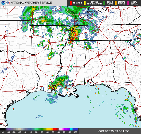
Location Time
(CDT)
Weather Vsby.
(SM)
Temp.
(ºF)
Dewpt.
(ºF)
Hum.
(%)
Wind
(mph)
Wind Chill / Heat Index
(ºF)
Pres.
(in)
Baton Rouge LA08:01Mostly Cloudy10817582SSW 10-29.85
Biloxi MS08:00Partly Cloudy10847370SW 16-29.85
Gulfport MS08:14Partly Cloudy10837474S 10G22-29.88
Hammond LA08:15Mostly Cloudy10807585S 10G17-29.88
Houma LA07:45Mostly Cloudy7807378S 12G21-29.88
McComb MS07:53Overcast9767390SSW 9-29.87
New Orleans LA07:53Clear10827681S 10-29.87
Slidell La07:53Partly Cloudy10827579S 12-29.87