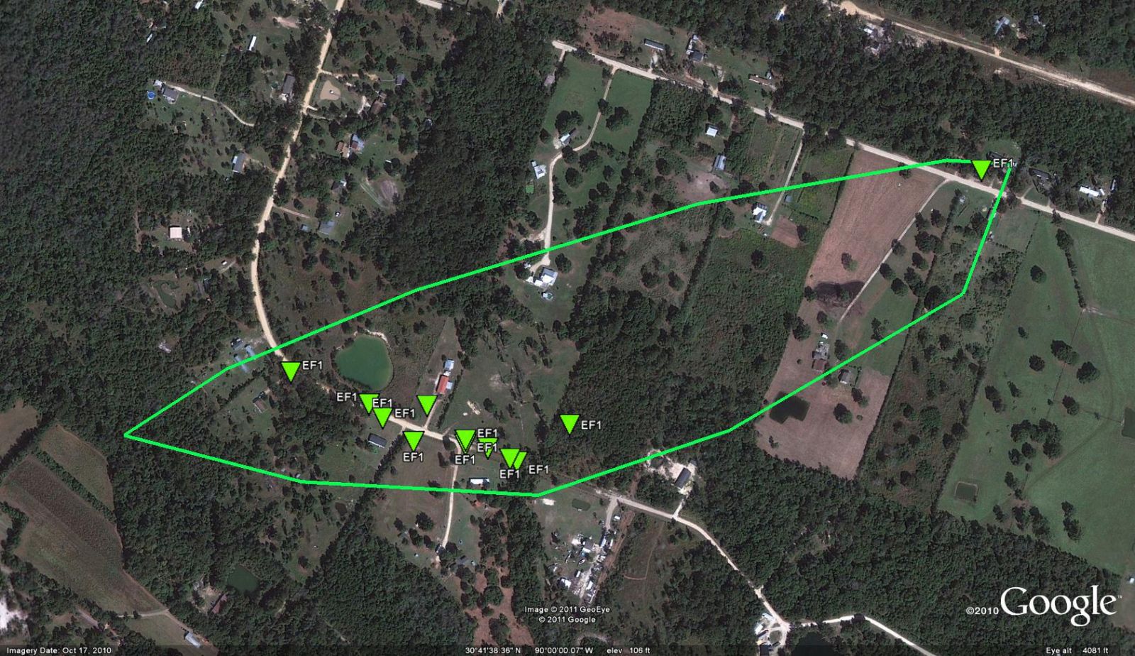
Isabel, LA Tornado - April 4, 2011
|
Rating:
|
EF-1
|
|
Estimated Maximum Wind:
|
105 mph
|
|
Injuries/Fatalities:
|
None
|
|
Damage Path Length:
|
400 yards
|
|
Maximum Path Width:
|
75 yards
|
|
Approximate Start Point/Time:
|
10 miles SW of Bogalusa, LA at 701 PM
|
|
Approximate End Point/Time:
|
10 miles SW of Bogalusa, LA at 702 PM
|
|
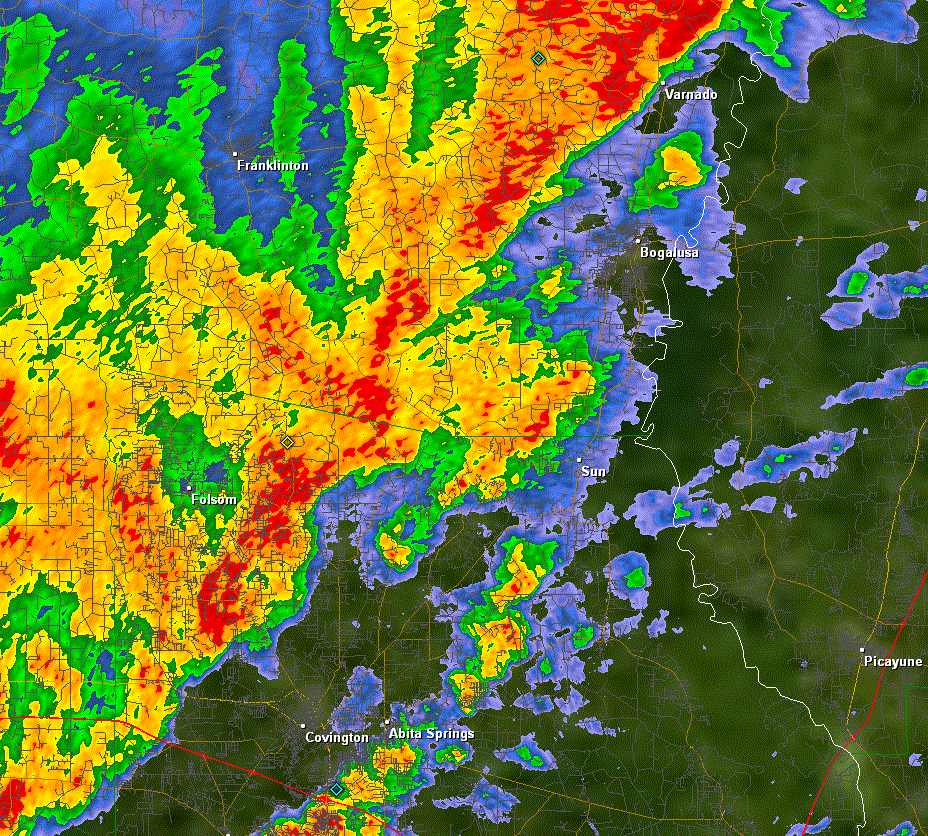
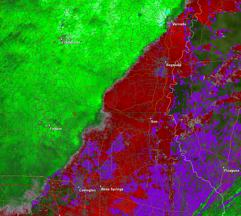
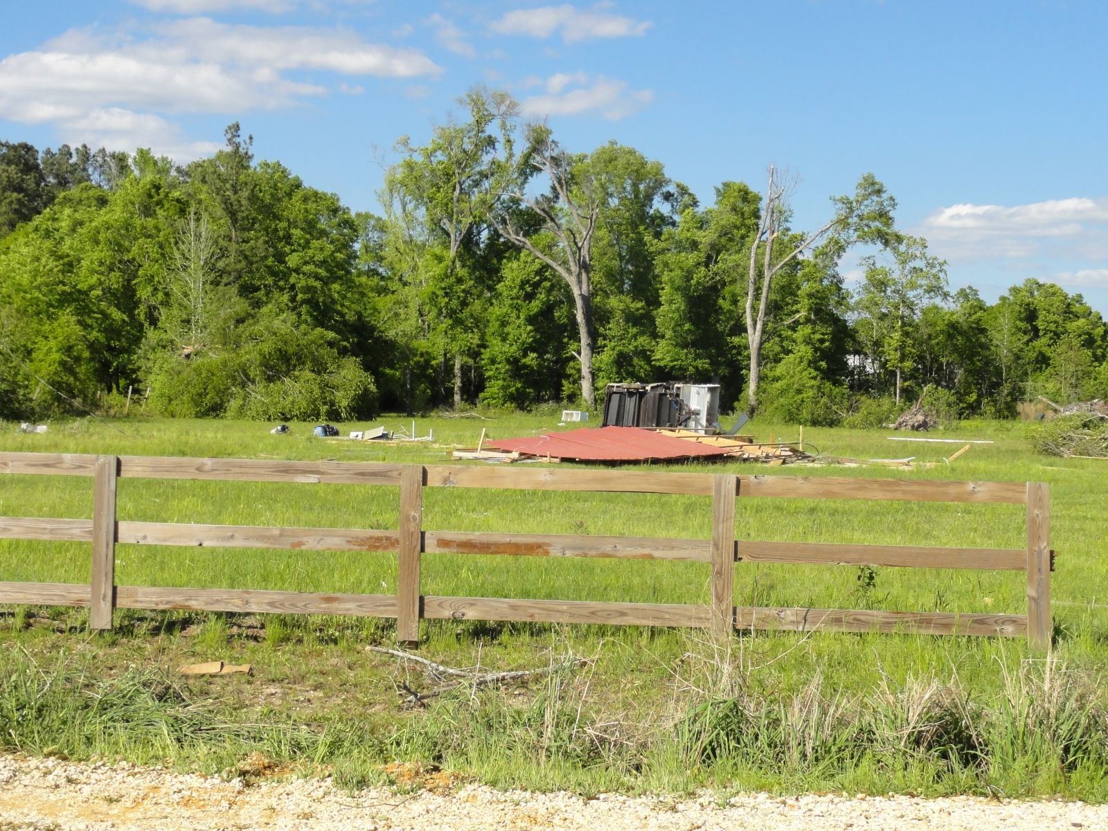
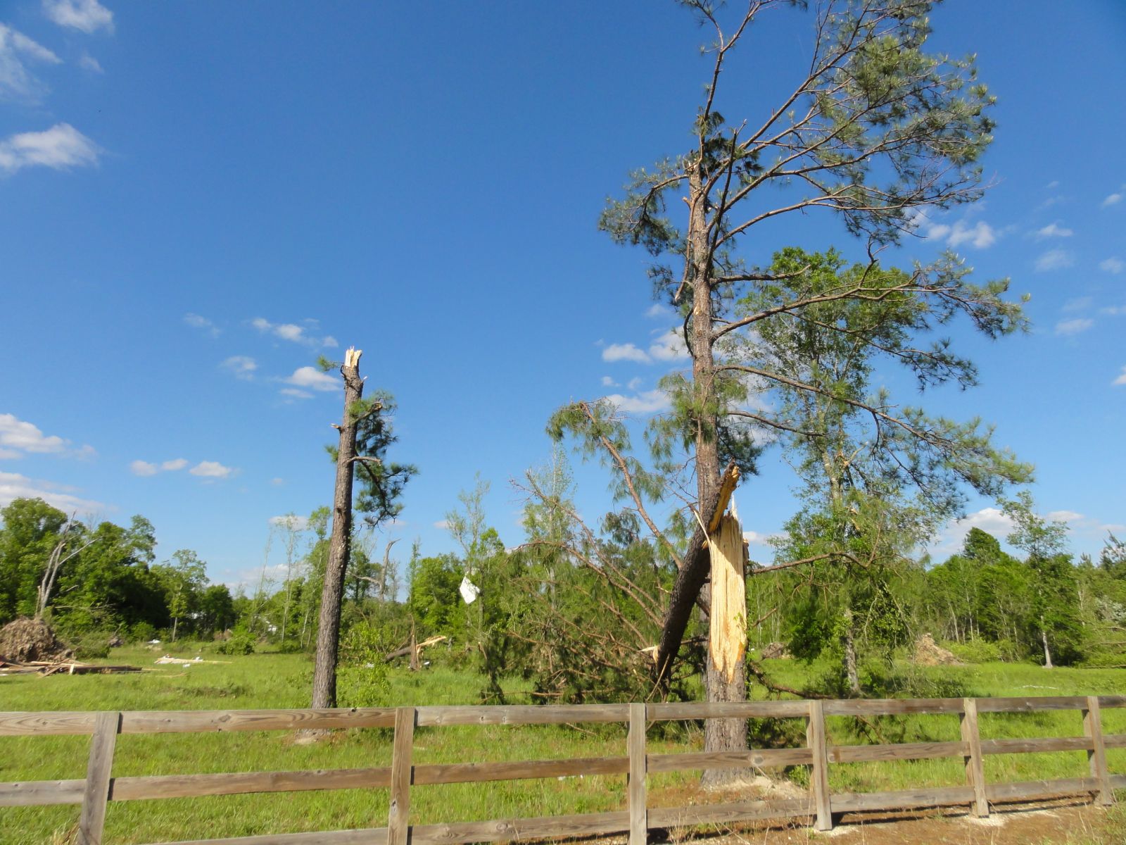
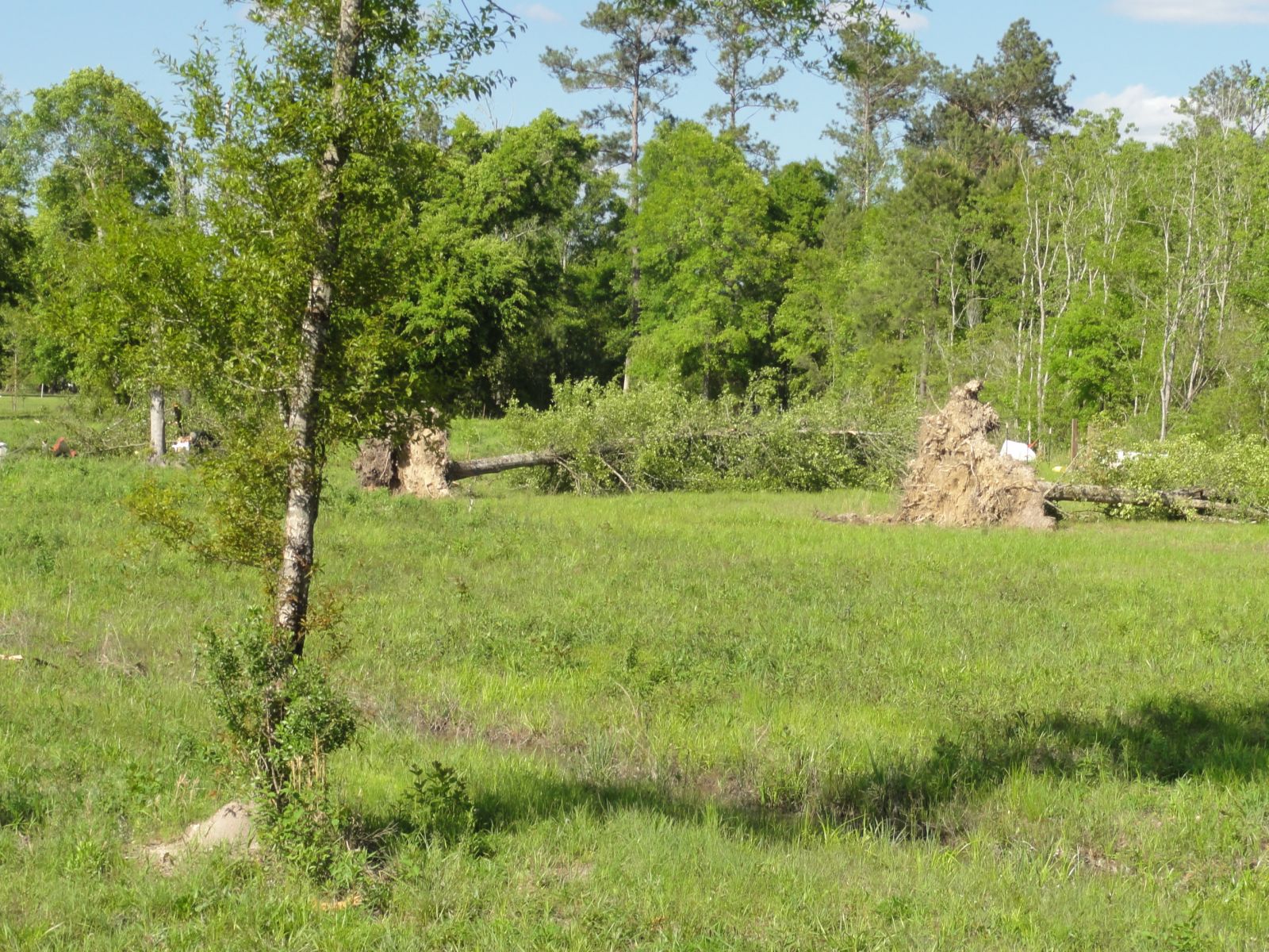
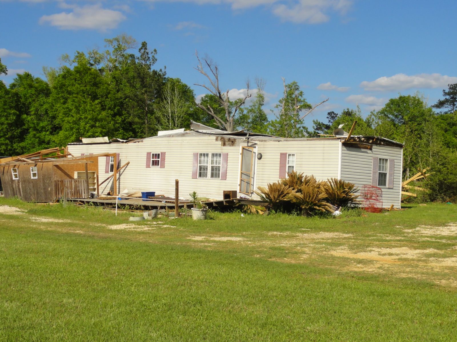
A National Weather Service Damage Assessment Team has surveyed the storm damage in Washington Parish near the Isabel community. It has been determined the damage was the result of a tornado. The tornado has been rated a EF-1 on the Enhanced Fujita Scale. Damage estimates were consistent with winds of 105 mph. The tornado touched down southwest of Hansen Road and traveled to the northeast. A few trees were snapped and uprooted south of Hansen Road where the tornado was witnessed coming down and going back up a few times. After the tornado crossed Hansen Road a single wind mobile home was blown to the east about 5 feet. The mobile also experienced roof damage and lost a back porch. Numerous trees were snapped and six large trees were uprooted. The tornado damage path was 400 yards long and was 75 yards wide at its widest point. No injuries were reported. |
|
|
|
|
|||||||||||||