New Orleans/Baton Rouge
Weather Forecast Office
A slow moving outflow boundary from a strong bow echo system that moved across the Northshore region of Southeast Louisiana began to stall over metro New Orleans during the morning hours of April 10th. The west to east orientation of this boundary lined up parallel to the mean storm motion of the day, and this resulted in a series of thunderstorms producing very heavy rainfall in excess of 2 inches per hour passing over the New Orleans metro area for several hours on the morning of April 10th. Rainfall totals of 6 to 10 inches were observed across metro New Orleans over a 2 to 3 hour period, and this overwhelmed the local drainage capacity resulting in widespread flash flooding throughout both the city of New Orleans and the surrounding suburban parishes.
The flash flooding event resulted in numerous road closures and a few high water rescues as people became trapped in the flood waters on area roads. Flooding was also reported in businesses and homes in the city of New Orleans.
Radar Loop of Event
Map of Rainfall Totals
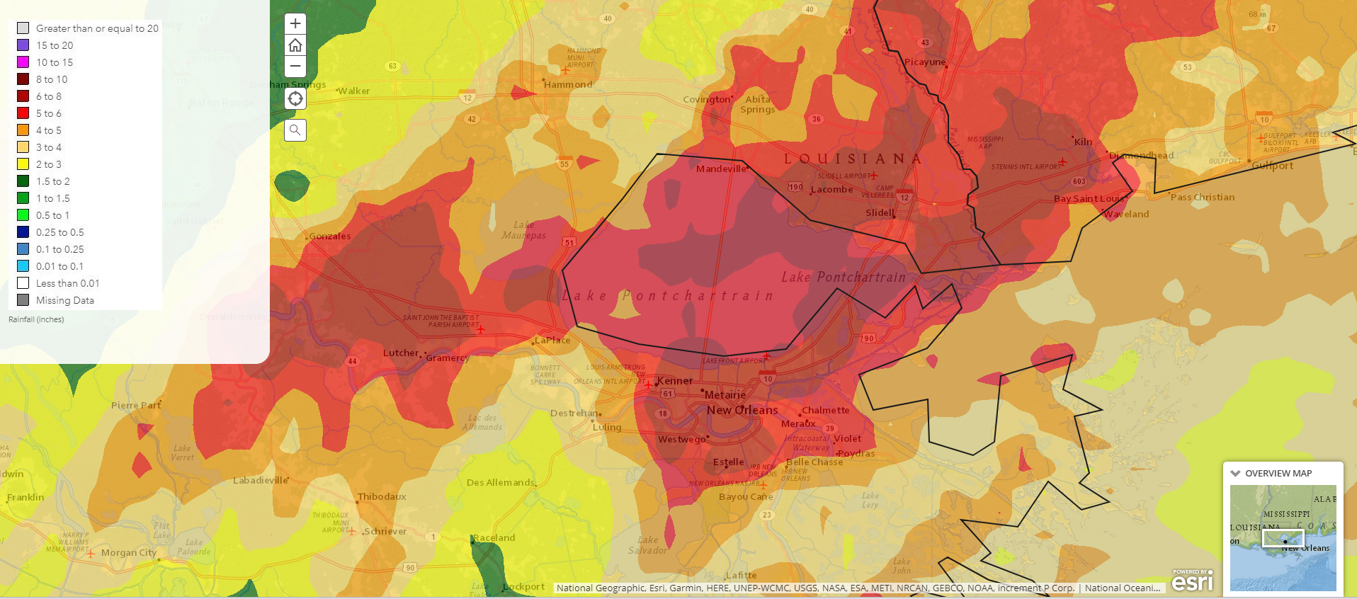
Locations Reporting More than 6 inches of Rainfall
| Location | Rainfall |
| Laplace | 9.89 inches |
| Lutcher | 7.64 inches |
| Metairie | 7.49 inches |
| Gramercy | 6.90 inches |
| Vacherie | 6.80 inches |
| New Orleans | 6.71 inches |
| New Orleans International Airport | 6.24 inches |
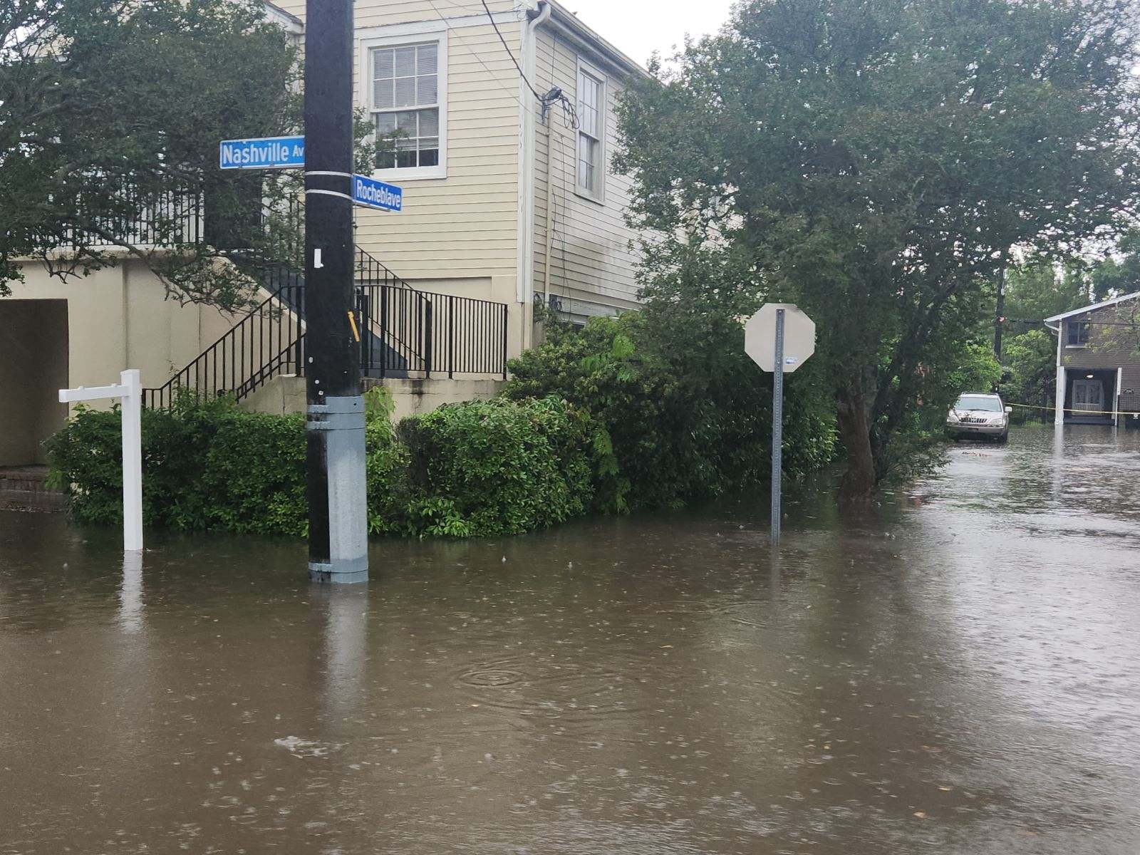
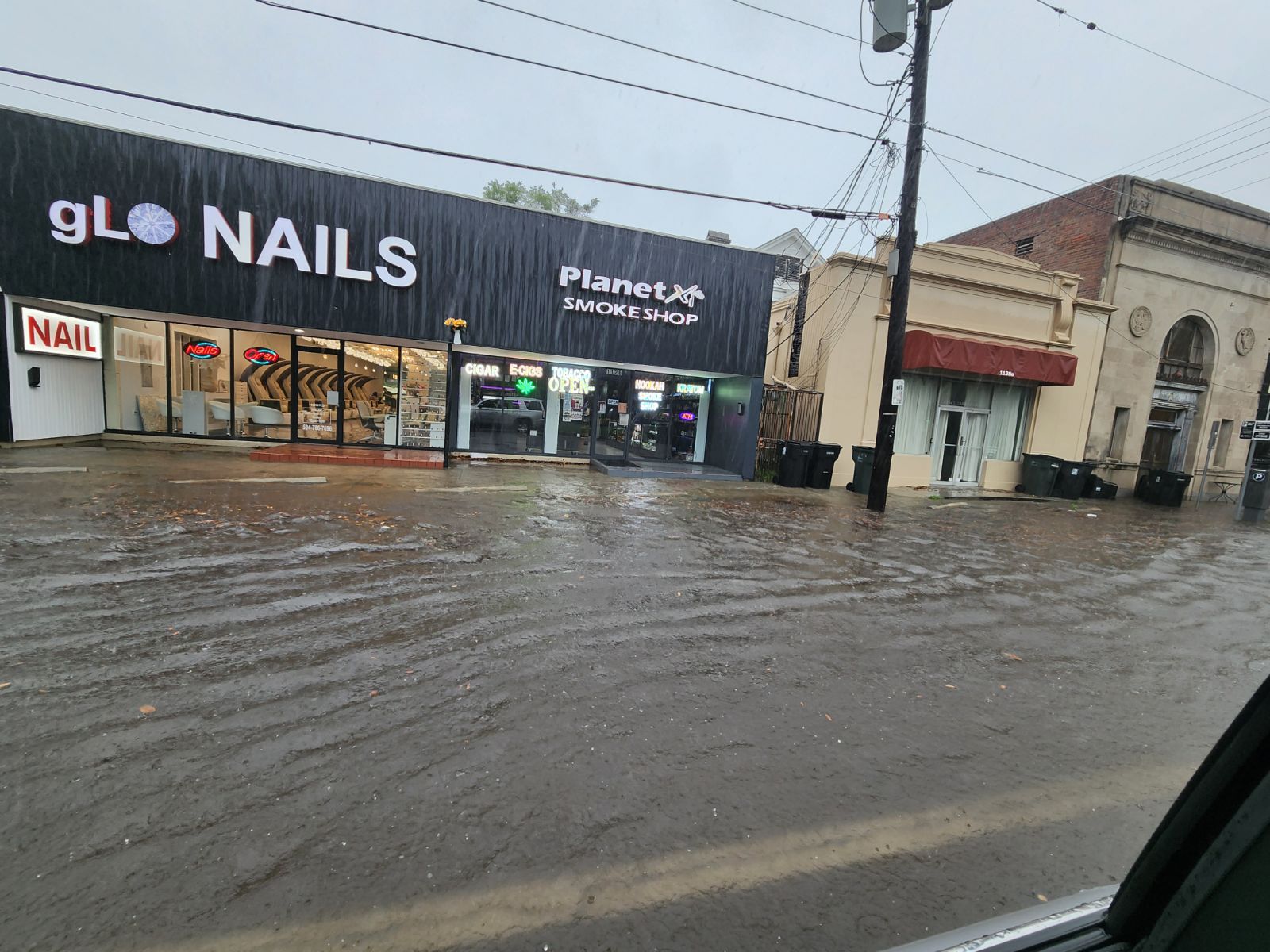
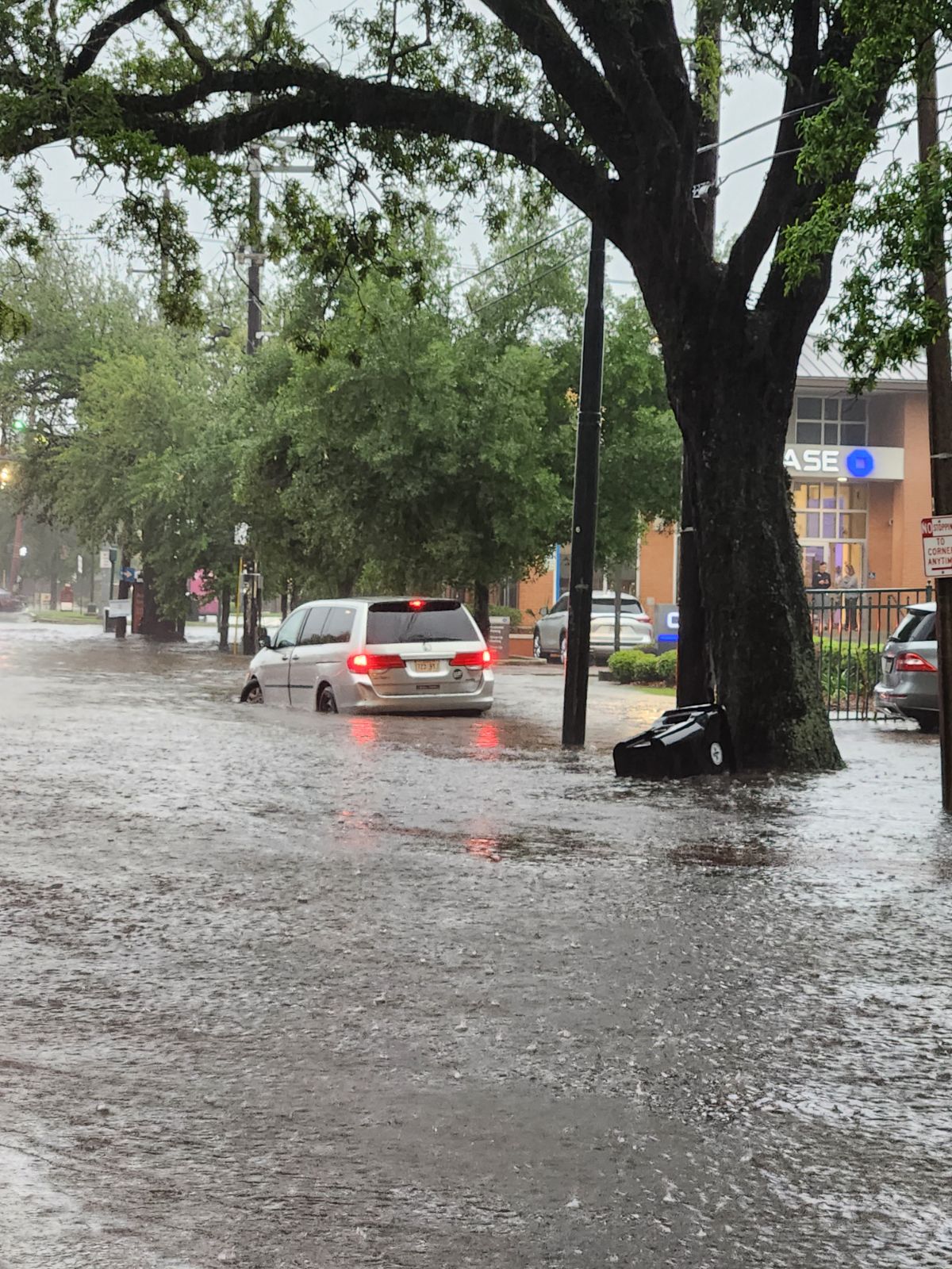
Photos of Flooding in New Orleans
|
(courtesy of New Orleans Police Dept.) |
(courtesy of New Orleans Police Dept.) |
|
(courtesy of New Orleans Police Dept.) |
Current Hazards
Outlooks
Fire Manager Quick Brief
Briefing Page
Storm Prediction Center
Extended Outlooks
Forecasts
Forecast Discussion
Aviation Weather Forecast
Graphical Forecast
Weather Models and Maps
Fire Weather Forecast
Hourly Weather Graph
Air Quality Forecasts
Marine Forecast
Activity Planner
River Forecasts
Tropical Forecast
US Dept of Commerce
National Oceanic and Atmospheric Administration
National Weather Service
New Orleans/Baton Rouge
62300 Airport Rd.
Slidell, LA 70460-5243
504.522.7330 985.649.0429
Comments? Questions? Please Contact Us.