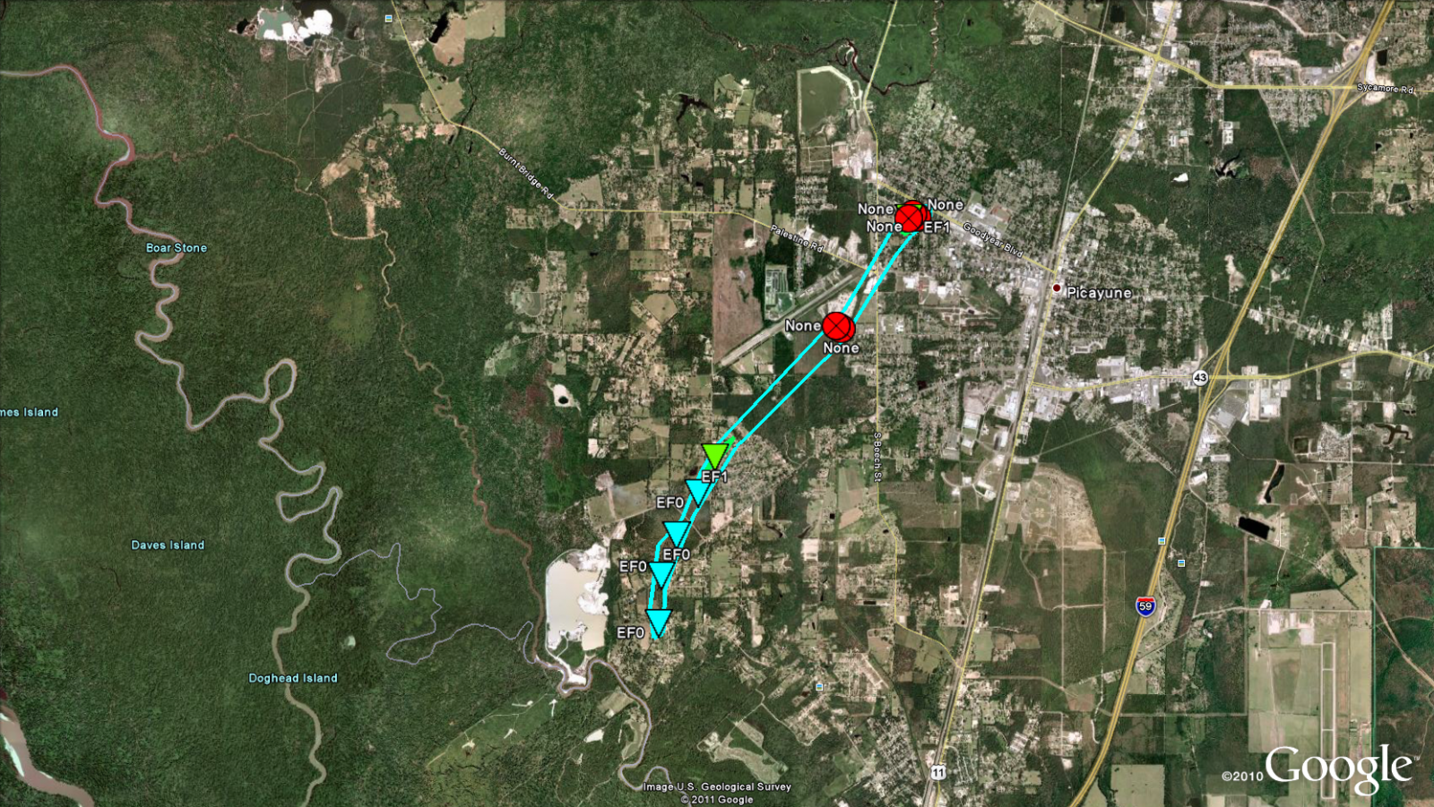
Picayune, MS Tornado - March 9, 2011
|
Rating:
|
EF-1
|
|
Estimated Maximum Wind:
|
90 mph
|
|
Injuries/Fatalities:
|
None
|
|
Damage Path Length:
|
3 miles
|
|
Maximum Path Width:
|
100 yards
|
|
Approximate Start Point/Time:
|
5 miles SW of Picayune, MS at 525 AM
|
|
Approximate End Point/Time:
|
1 miles NE of Picayune, MS at 530 AM
|
|
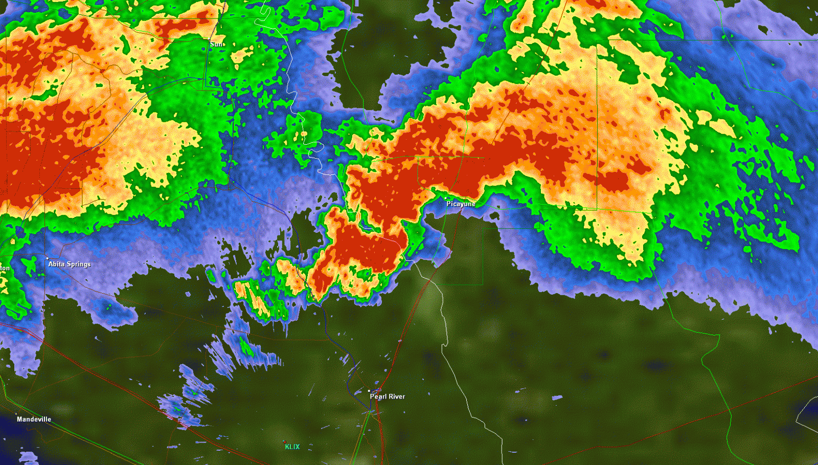
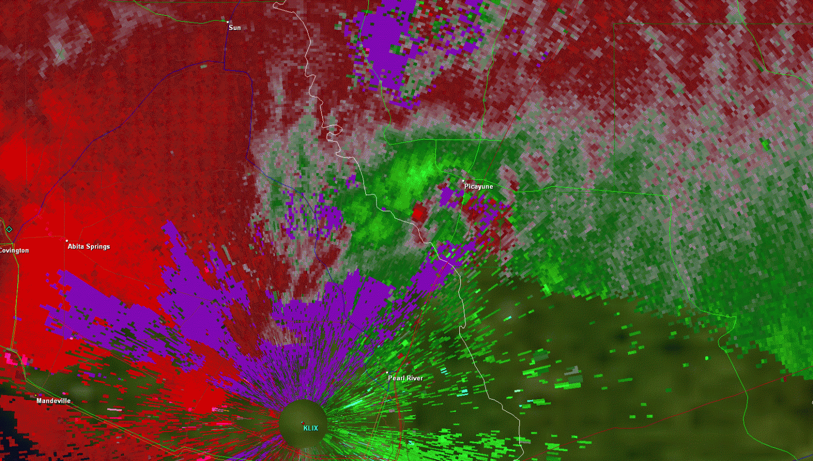
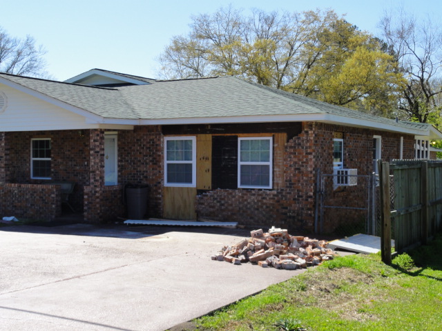
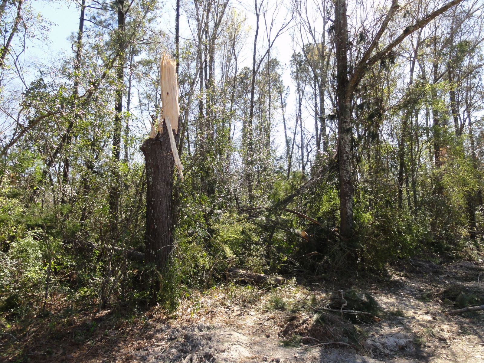
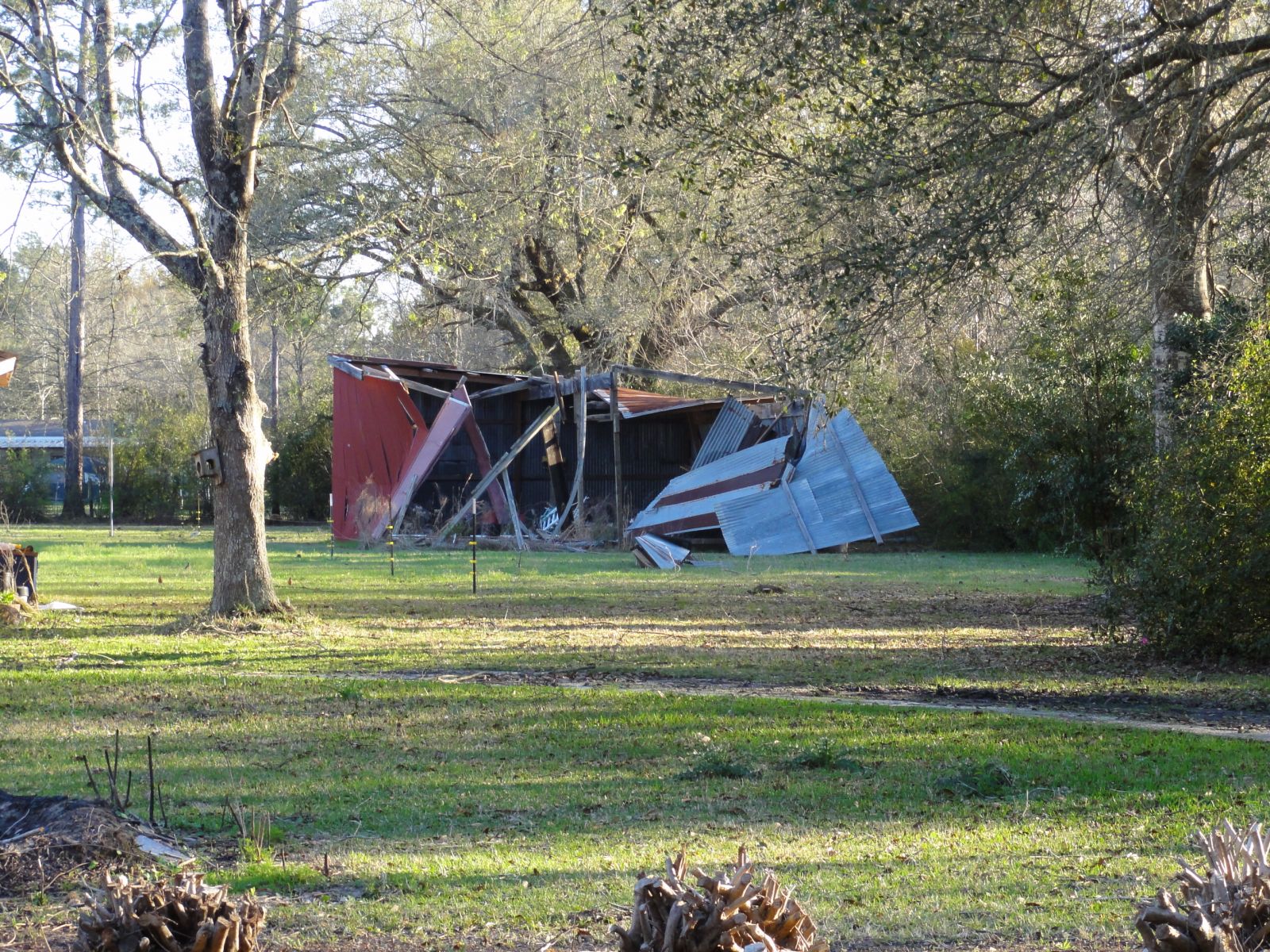
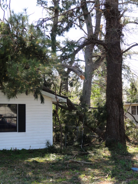
A National Weather Service Damage Assessment Team has surveyed the storm damage in Pearl River County near Picayune, MS. It has been determined the damage was the result of a tornado. The tornado has been rated an EF-1 on the Enhanced Fujita Scale. Damage estimates were consistent with winds of 90 mph. The tornado touched down 5 miles southwest of Picayune on Jackson Landing Road...and continued on an intermittent path to the northeast across South Beech Street and Goodyear Road. The tornado dissipated about 1 mile northeast of Picayune near Adcox Road and Highway 43. Damage was observed near 6th Avenue and Forest Street where a large tree snapped and fell onto a house. Additionally...the tornado may have been the same parent tornado that began near Lacombe. However it is currently recorded as a separate tornado due to the lack of damage survey data through the Bogue Chitto National Wildlife Refuge. The tornado damage path was 3 miles long and was 100 yards wide at its widest point. No injuries or deaths were reported. |
|
|
|
|
||||||||||||||