New Orleans/Baton Rouge
Weather Forecast Office
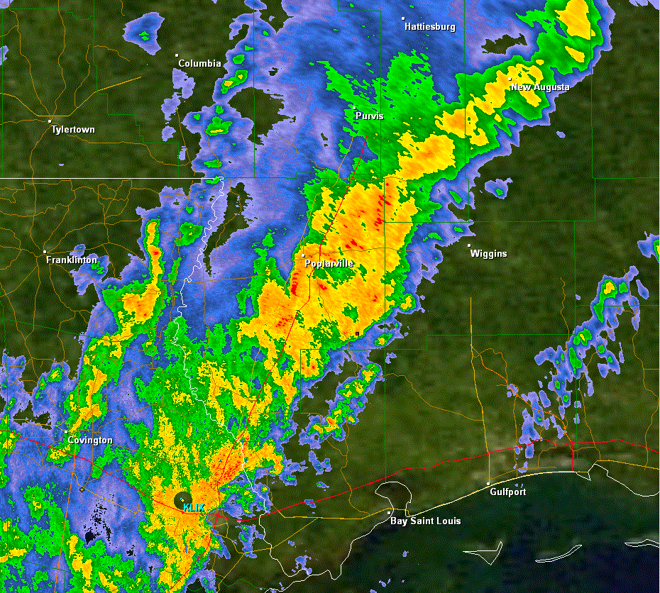
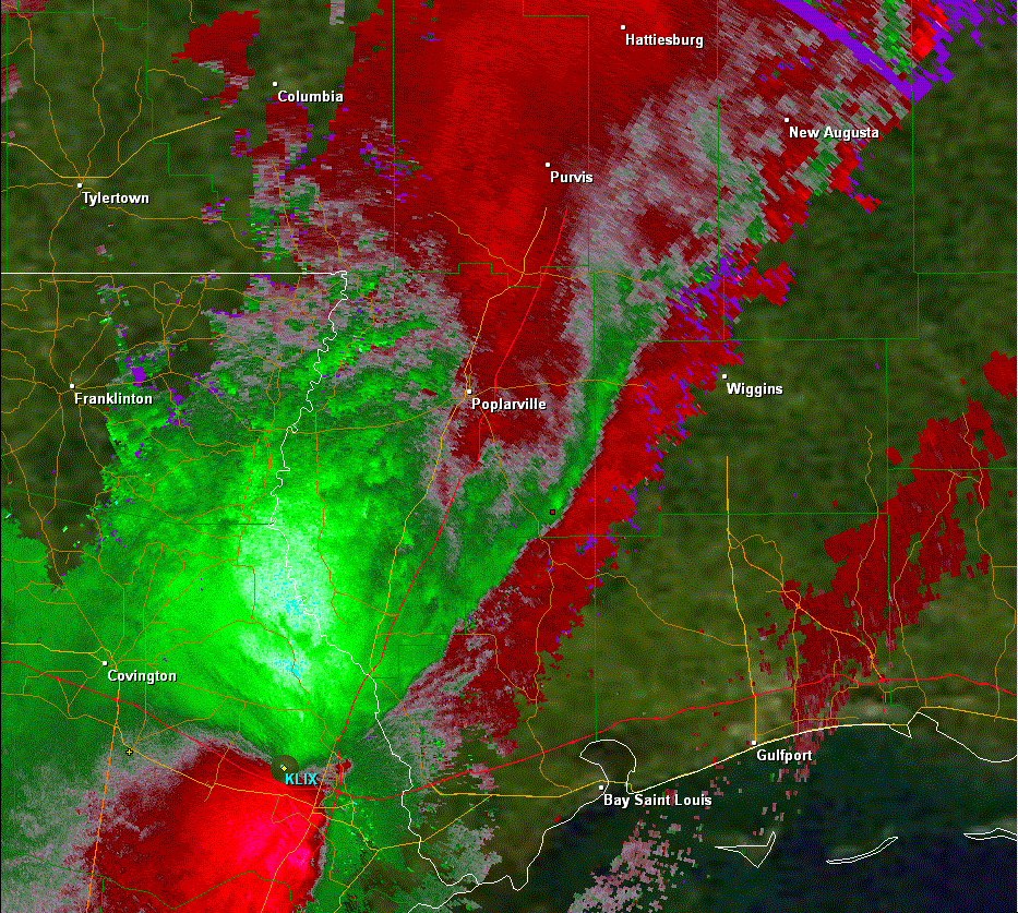
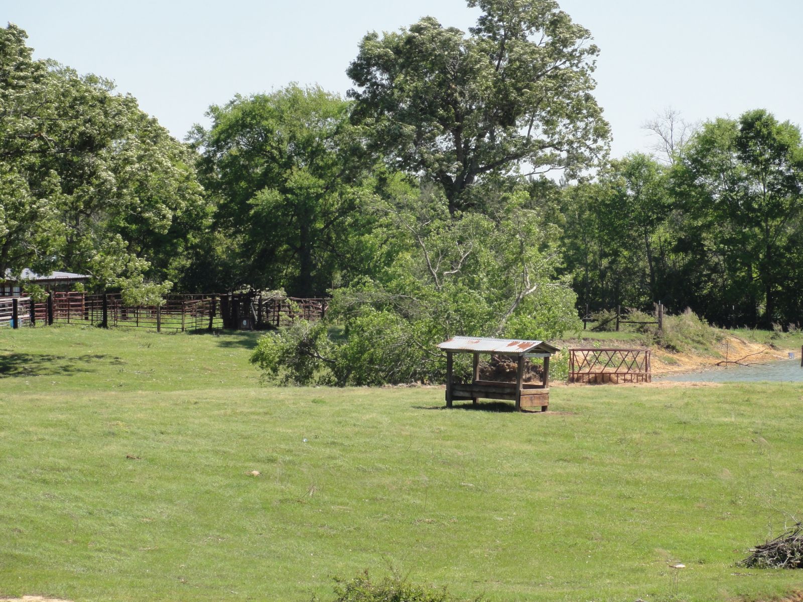
Pearl River County, MS Tornado - April 4, 2011
|
Rating:
|
EF-1
|
|
Estimated Maximum Wind:
|
95 mph
|
|
Injuries/Fatalities:
|
None
|
|
Damage Path Length:
|
400 yards
|
|
Maximum Path Width:
|
50 yards
|
|
Approximate Start Point/Time:
|
12 miles SE of Poplarville, MS at 743 PM
|
|
Approximate End Point/Time:
|
12 miles SE of Poplarville, MS at 743 PM
|
|
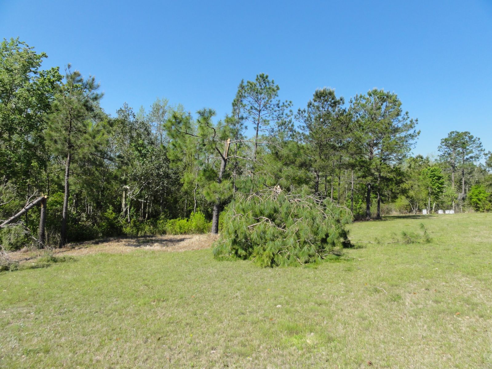
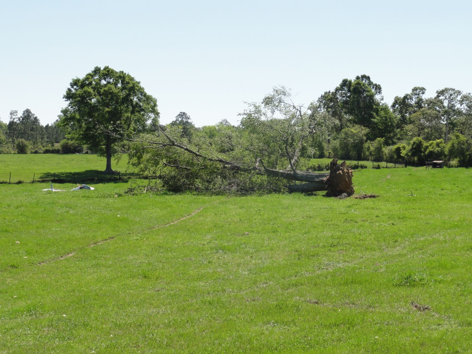
A National Weather Service Damage Assessment Team has surveyed the storm damage in Pearl River County southeast of Poplarville. It has been determined the damage was the result of a tornado. The tornado has been rated a EF-1 on the Enhanced Fujita Scale. Damage estimates were consistent with winds of 95 mph. The tornado touched down at the edge of a forest about 250 yards to the west of Connie Hariel Road. The tornado then traveled nearly due east and hit a house peeling off about 40 percent of the metal roof. The tornado continued east across Connie Hariel Road and moved into a field uprooting a few more trees. The tornado lifted in the field. The tornado damage path was 400 yards long and was 50 yards wide at its widest point. No injuries were reported. |
|
|
|
|
|||||||||||||
Current Hazards
Extended Outlooks
Outlooks
Fire Manager Quick Brief
Briefing Page
Storm Prediction Center
Forecasts
Air Quality Forecasts
Marine Forecast
Activity Planner
River Forecasts
Tropical Forecast
Forecast Discussion
Aviation Weather Forecast
Graphical Forecast
Weather Models and Maps
Fire Weather Forecast
Hourly Weather Graph
US Dept of Commerce
National Oceanic and Atmospheric Administration
National Weather Service
New Orleans/Baton Rouge
62300 Airport Rd.
Slidell, LA 70460-5243
504.522.7330 985.649.0429
Comments? Questions? Please Contact Us.