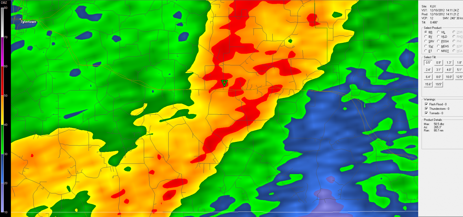
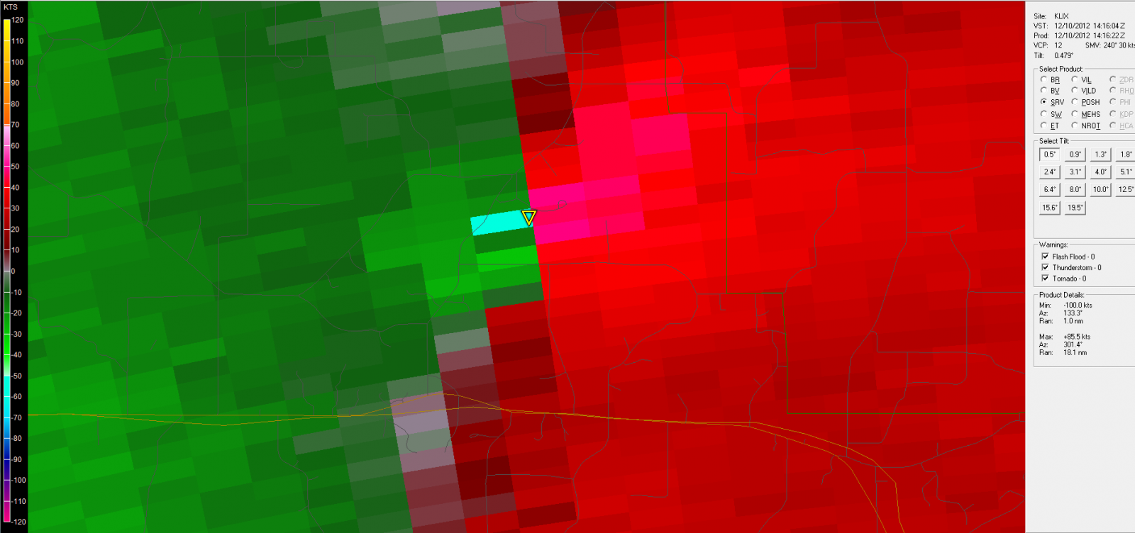
Walthall County Tornado - December 10, 2012
|
Rating:
|
EF-1
|
|
Estimated Maximum Wind:
|
100 mph
|
|
Injuries/Fatalities:
|
None
|
|
Damage Path Length:
|
17 miles
|
|
Maximum Path Width:
|
100 yards
|
|
Approximate Start Point/Time:
|
7 miles S of Tylertown, MS at 752 AM
|
|
Approximate End Point/Time:
|
15 miles E of Tylertown, MS at 819 AM
|
|
A National Weather Service Damage Assessment Team has surveyed the storm damage in Walthall County near the city of Tylertown, MS. It has been determined the damage was the result of a tornado. The tornado has been rated an EF-1 on the Enhanced Fujita Scale. Damage estimates were consistent with winds of 100 mph. From the Local Storm Report: THE TORNADO INITIALLY TOUCHED DOWN NEAR THE INTERSECTION OF HWY 27 AND SIMON RD. IT MOVED NORTHEAST CAUSING SPORADIC EF-0 DAMAGE FOR A FEW MILES ROUGHLY ALONG SIMON AND TAYLOR ROADS. NEAR THE INTERSECTION OF SIMON AND ALLEN HILL ROADS...THE TORNADO DESTROYED A METAL BUILDING AND THREW THE DEBRIS 200-300 YARDS DOWN ITS PATH. IT STRENGTHENED AS IT NEARED HWY 48...CAUSING MORE SIGNIFICANT DAMAGE. TWO HOMES SUFFERED MODERATE DAMAGE TO A BRICK FACADE AND ROOFING AND A DAIRY BARN WAS DESTROYED NEAR THE CROSSING OF DEXTER RD AND HWY 48. THE TORNADO THEN CROSSED HWY 48 AND CONTINUED TO CAUSE SIGNIFICANT DAMAGE TO TREES WITH SOME MINOR DAMAGE TO A FEW MORE STRUCTURES. IT ALSO PICKED UP SEVERAL LARGE HAY BALES AND THREW THEM BETWEEN 75 AND 100 FT. THE TORNADO BEGAN TO WEAKEN AS IT APPROACHED THE WALTHALL/MARION COUNTY LINE...BUT DID CONTINUE TO CAUSE DAMAGE FOR A FEW MORE MILES INTO MARION COUNTY PER SURVEY RESULTS FROM WFO JACKSON. |
|
|
|
|
||||||||||||||