
A Pacific storm will bring rain and high elevation snow from the Pacific Northwest into the Northern Rockies. A series of storms are expected to move through the Bering Sea bringing strong winds, heavy precipitation, and elevated water levels from the West Coast to northern Alaska. Read More >
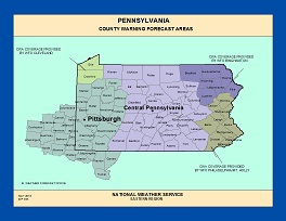
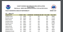
AS OF OCTOBER 2024, the maps and report on this page are no longer maintained. The level of detail needed for the maps have made upkeep difficult.
Up-to-date information is readily available at the following GIS services webpage: https://mapservices.weather.noaa.gov/static/rest/services/nws_reference_maps/nws_reference_map/MapServer
Features include address search and a print function.
Information can also be found on the National Viewer: https://viewer.weather.noaa.gov/
 |
MAPS |
 |
REPORTS |


