
Scattered severe thunderstorms are expected to develop across portions of the central and northern High Plains Sunday afternoon and linger into Sunday evening. Severe winds, large to very large hail and heavy rain will be possible. A late season atmospheric river event will kick-off Sunday across the Pacific Northwest bringing strong winds and moderate to heavy rain through early next week. Read More >
Regional Web Cameras
National Weather Service Boise Rooftop
Temporarily offline
Caldwell Industrial Airport
|
|
|
|
| Looking NW (Courtesy of the City of Caldwell) | Looking E (Courtesy of the City of Caldwell) |
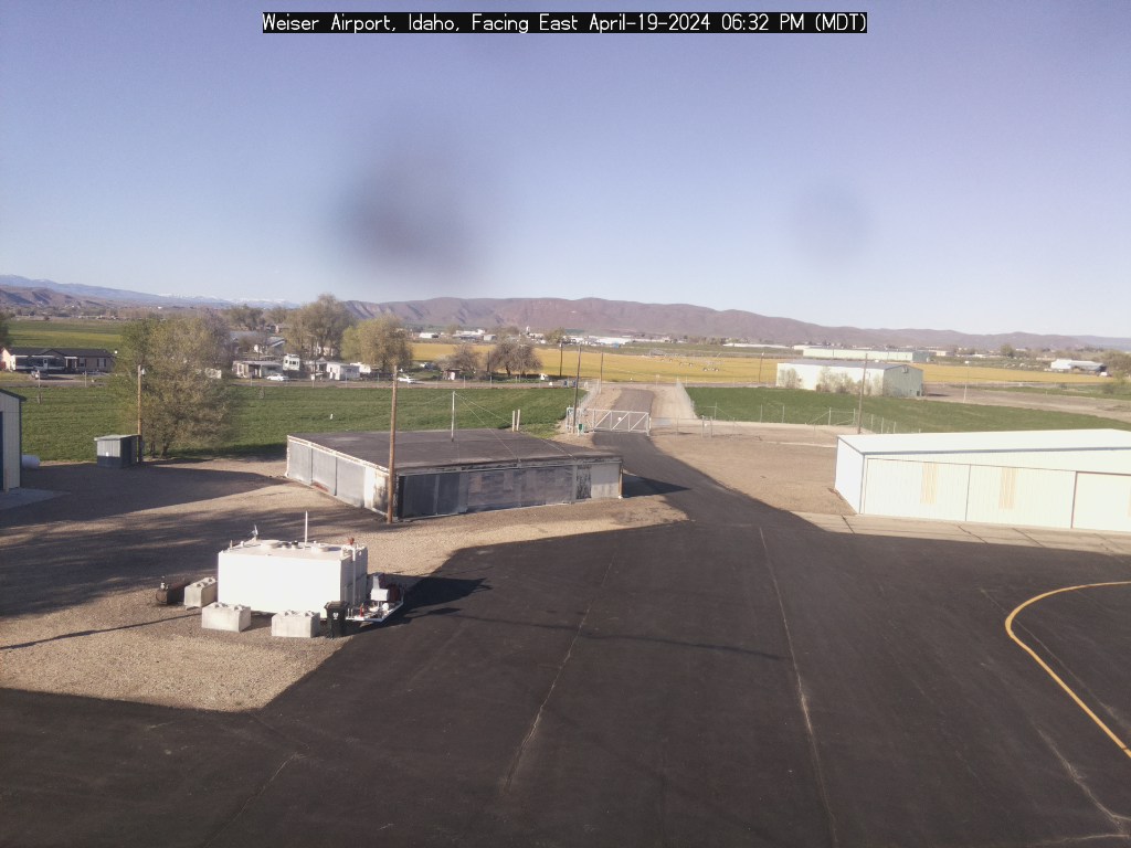
Weiser Airport
|
|
|
|
| Looking E (Courtesy of the City of Weiser) | Looking SW (Courtesy of the City of Weiser) |
|
|
|
Looking East |
|
|
|
Looking Northwest (Courtesy of the City of McCall) |
|
|
|
|
| Looking North (Courtesy of Eye-n-Sky LLC) | Looking South (Courtesy of Eye-n-Sky LLC) |
|
|
|
|
| Looking Southwest (Courtesy of Reeders) | Looking Southeast |
Baker City Airport
Burns Airport
|
Temporarily offline |


 Follow us on YouTube