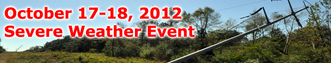
Neshoba County Tornado

Click on the map above for a detailed, interactive track map and damage pictures.
|
Event Summary This tornado caused mainly tree damage except where it crossed County Road 519. Here a mobile home was pushed off its foundation...a metal and wood frame building was destroyed...and a roof to a well built home was damaged. |
|


 Follow us on YouTube